
Stonesfield, village and civil parish in West Oxfordshire, England
Posizione: West Oxfordshire
Confina con: Spelsbury, Fawler, North Leigh, Combe, Wootton, Glympton, Kiddington with Asterleigh
Sito web: http://stonesfield.info
Coordinate GPS: 51.85100,-1.42900
Ultimo aggiornamento: 14 aprile 2025 alle 17:59
Ditchley
4.1 km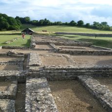
North Leigh Roman Villa
1.7 km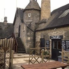
Combe Mill
3 km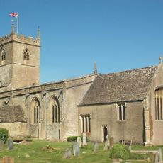
St Laurence's Church
2.3 km
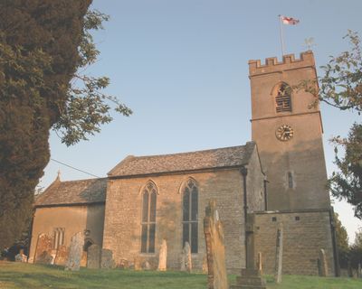
Church of St James the Great
82 m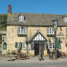
The Cock Inn
2.1 km
Church of St Peter
2.9 km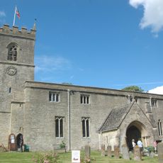
Church of St Mary, Wootton, Oxfordshire
5.3 km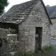
Lockup approximately 20 metres north east of Church of Saint James the Great
67 m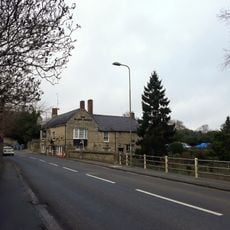
The Black Horse Public House
4.8 km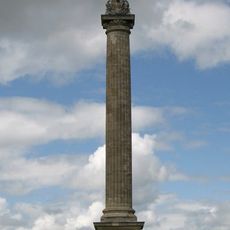
Column Of Victory
4.1 km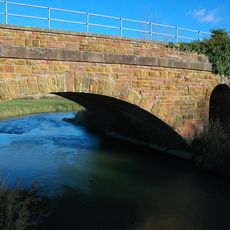
Railway Bridge At Sp 3719 1682
2.2 km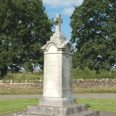
Combe War Memorial
2.1 km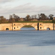
Grand Bridge
4.5 km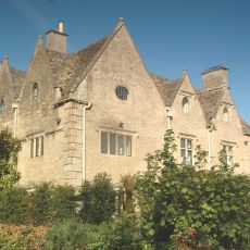
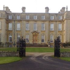
Finstock Manor House
3.3 km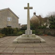
Long Hanborough War Memorial
3.8 km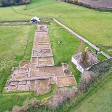
Stonesfield Roman villa
517 m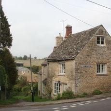
Old Bakery
317 m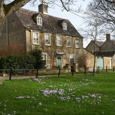
Egypt
4.3 km
Park Walls, Surrounding Blenheim Park
2.4 km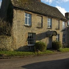
Parrotts
5.2 km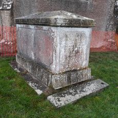
Church of Lawrence, Chest Tomb Approximately 10 North North East of Nave
2.3 km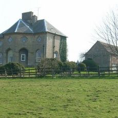
Lodge Farmhouse
2.9 km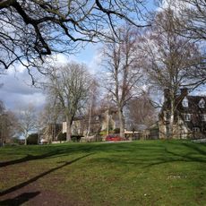
The Homestead
4.3 km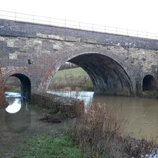
River Evenlode railway bridge SP398155
1.6 km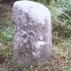
Milestone, Hill Wood
4.8 km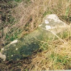
Milestone, Fawler Road; Cornbury Park, up hill from Finstock Station and 30m N of lay-by
3.3 km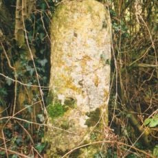
Milestone, Witney Road; Freeland, E of Telephone Exchange
3.4 kmRecensioni
Ha visitato questo luogo? Tocchi le stelle per valutarlo e condividere la Sua esperienza o foto con la community! Provalo ora! Puoi annullarlo in qualsiasi momento.
Scopri tesori nascosti ad ogni viaggio!
Da piccoli caffè caratteristici a panorami nascosti, fuggi dalla folla e scova i posti che fanno davvero per te. La nostra app ti semplifica tutto: ricerca vocale, filtri furbi, percorsi ottimizzati e dritte autentiche da viaggiatori di tutto il mondo. Scaricala subito per vivere l'avventura sul tuo smartphone!

Un nuovo approccio alla scoperta turistica❞
— Le Figaro
Tutti i luoghi che meritano di essere esplorati❞
— France Info
Un’escursione su misura in pochi clic❞
— 20 Minutes