
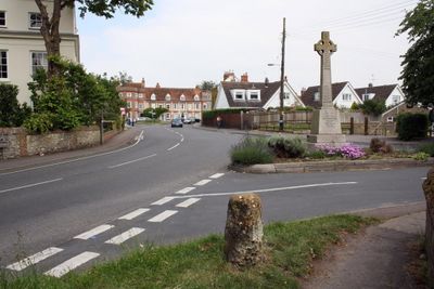
Benson, village and civil parish in South Oxfordshire, England
Posizione: South Oxfordshire
Confina con: Berrick Salome, Warborough, Brightwell-cum-Sotwell, Crowmarsh, Nuffield, Ewelme
Sito web: http://parish-council.com/Benson
Coordinate GPS: 51.62100,-1.11100
Ultimo aggiornamento: 9 marzo 2025 alle 20:24
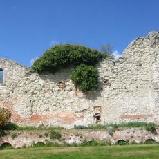
Wallingford Castle
2.2 km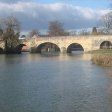
Wallingford Bridge
2.4 km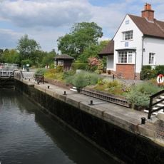
Benson Lock
689 m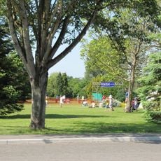
Howbery Park
1.6 km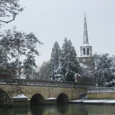
St Peter's Church, Wallingford
2.4 km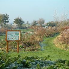
Ewelme Watercress Beds
2.3 km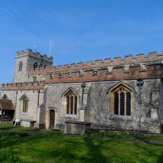
Church of St Mary, Ewelme
3 km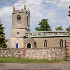
Church of St Helen
163 m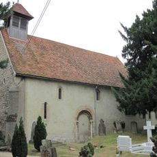
Church of St Mary Magdalene
2.4 km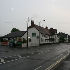
The Bell Inn
2.5 km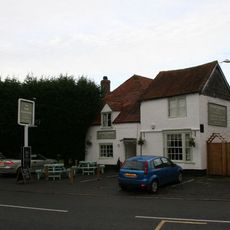
The Three Horseshoes Public House
53 m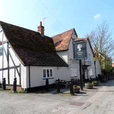
The Queens Head Public House
2.5 km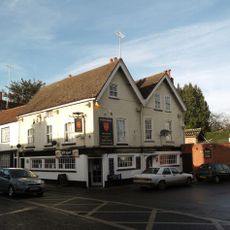
Town Arms Public House
2.3 km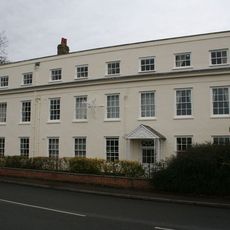
The White Hart Hotel
41 m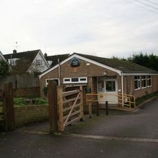
Benson Library
52 m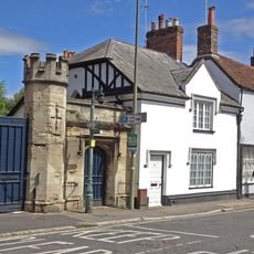
Number 100 And Attached Gateway
2.3 km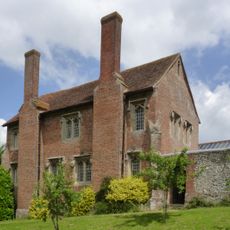
Ewelme Church Of England Primary School
3 km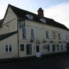
The Crown Hotel Public House And Barn
389 m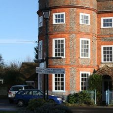
The Round House
95 m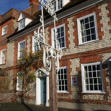
Inn sign approximately 2 metres to South West of numbers 15 and 17 (The Castle Inn Public House)
95 m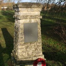
Lt A. J. Lester Memorial, Wallingford, Oxfordshire
2.4 km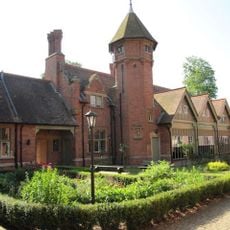
Stable Block Approximately 110 Metres North East Of Hydraulics Research Limited
1.5 km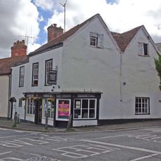
Stoney's Restaurant
2.4 km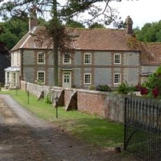
Ford's Farmhouse
2.9 km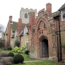
Gods Place, And Lobby To Church Of St Mary
3 km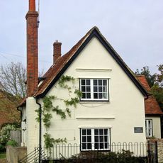
Castle Farmhouse
56 m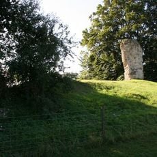
Fragment Of Castle Wall At Su 6096 8978
2.1 km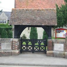
Crowmarsh Gifford War Memorial Lychgate
2.4 kmRecensioni
Ha visitato questo luogo? Tocchi le stelle per valutarlo e condividere la Sua esperienza o foto con la community! Provalo ora! Puoi annullarlo in qualsiasi momento.
Scopri tesori nascosti ad ogni viaggio!
Da piccoli caffè caratteristici a panorami nascosti, fuggi dalla folla e scova i posti che fanno davvero per te. La nostra app ti semplifica tutto: ricerca vocale, filtri furbi, percorsi ottimizzati e dritte autentiche da viaggiatori di tutto il mondo. Scaricala subito per vivere l'avventura sul tuo smartphone!

Un nuovo approccio alla scoperta turistica❞
— Le Figaro
Tutti i luoghi che meritano di essere esplorati❞
— France Info
Un’escursione su misura in pochi clic❞
— 20 Minutes