
Hedgerley, village in Buckinghamshire, United Kingdom
Posizione: Buckinghamshire
Coordinate GPS: 51.57600,-0.60200
Ultimo aggiornamento: 6 marzo 2025 alle 13:16
Burnham Beeches
2.8 km
Bulstrode Park
2 km
Hall Barn
3.3 km
Everyman Gerrards Cross
3.7 km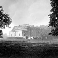
Wilton Park Estate
3.5 km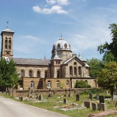
St James Church, Gerrards Cross
3.2 km
Gerrards Cross Memorial Building
3.6 km
Littleworth Common
3.6 km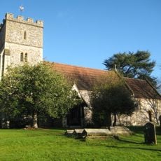
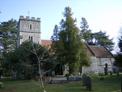
Parish Church of St Mary the Virgin
118 m
Church of St James
3.3 km
Church of St Anne
3.6 km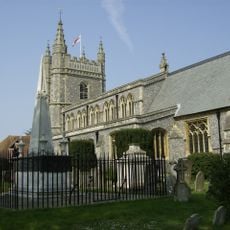
Parish Church of St Mary and All Saints
3.7 km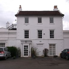
Gerrards Cross Memorial Centre
3.6 km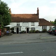
The Black Horse Public House
3.3 km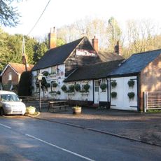
The White Horse Public House
108 m
Africa House and Burke Lodge
3.7 km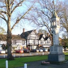
Beaconsfield War Memorial
3.7 km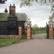
Hall Barn Oak Lodge
3.3 km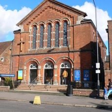
United Reform Church And Hall With Attached Gates And Railings At Front
3.9 km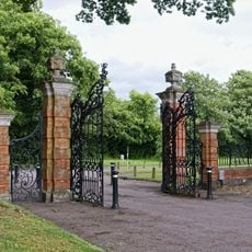
Gate And Gate Piers At Entrance To Hall Barn
3.3 km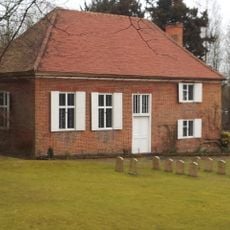
Jordans Meeting House
3.8 km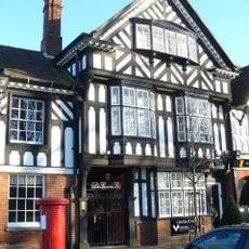
Chester House
3.7 km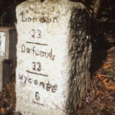
Mile Stone
3.4 km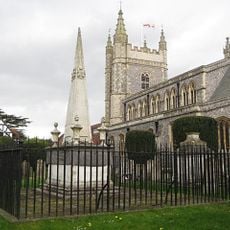
Tomb Of Edmund Waller South East Of Parish Church Of St Mary And All Saints
3.6 km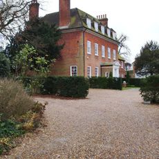
The Old Rectory (adjoining West Side Of Churchyard)
3.6 km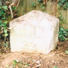
Milestone, Oxford Road; near Rock Dell, jct. with Bulstrode Way
2.9 km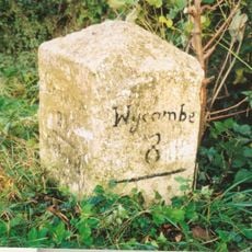
Milestone, Oxford Road; Mumfords Farm, opp. Pig & Whistle Lodge
2 km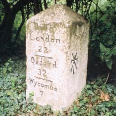
Milestone, Wilton Park, Sandy Bottom Lodge, E of Potkiln Lane jct
2.5 kmHa visitato questo luogo? Tocchi le stelle per valutarlo e condividere la Sua esperienza o foto con la community! Provalo ora! Puoi annullarlo in qualsiasi momento.
Scopri tesori nascosti ad ogni viaggio!
Da piccoli caffè caratteristici a panorami nascosti, fuggi dalla folla e scova i posti che fanno davvero per te. La nostra app ti semplifica tutto: ricerca vocale, filtri furbi, percorsi ottimizzati e dritte autentiche da viaggiatori di tutto il mondo. Scaricala subito per vivere l'avventura sul tuo smartphone!

Un nuovo approccio alla scoperta turistica❞
— Le Figaro
Tutti i luoghi che meritano di essere esplorati❞
— France Info
Un’escursione su misura in pochi clic❞
— 20 Minutes