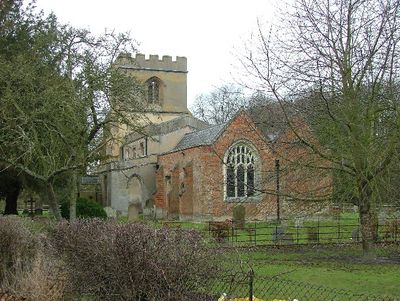
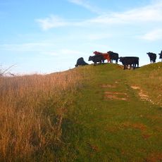
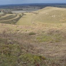
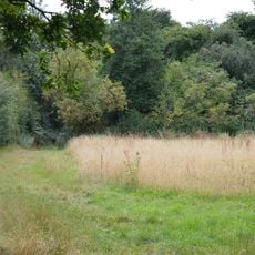
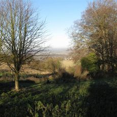
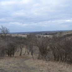
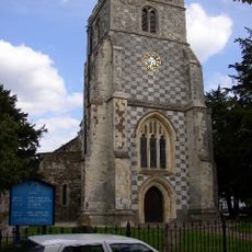
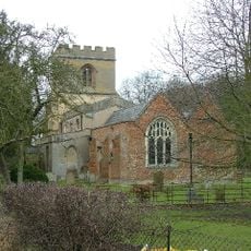
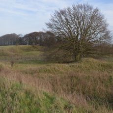
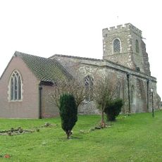
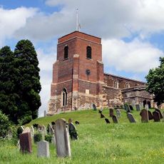
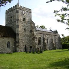
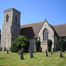
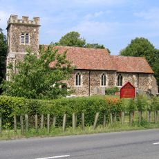
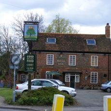
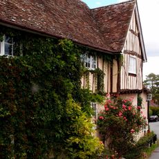
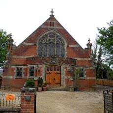
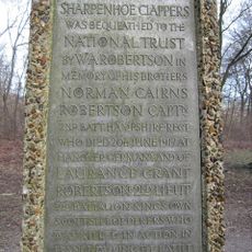
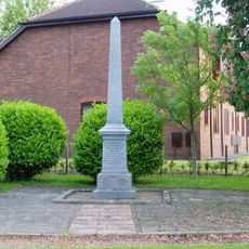
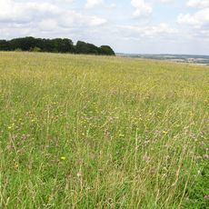
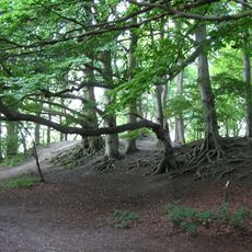
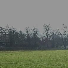
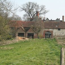
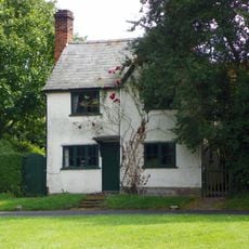
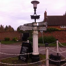
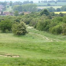
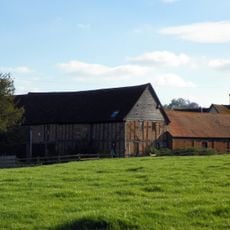
Hexton, village and civil parish in Hertfordshire, England
Posizione: North Hertfordshire
Coordinate GPS: 51.96082,-0.39315
Ultimo aggiornamento: 6 marzo 2025 alle 18:24
Hexton Manor
327 m
Galley and Warden Hills
3.9 km
Knocking Hoe
2.6 km
Telegraph Hill, Hertfordshire
2.2 km
Smithcombe, Sharpenhoe and Sundon Hills
3.6 km
Deacon Hill
2 km
Church of St Nicholas, Barton le Clay
2 km
Church of St Faith (Church of England)
120 m
South Beds Golf Club
4 km
Barton Gravel Pit
775 m
Church of St Margaret, Streatley, Bedfordshire
3.9 km
Church of All Saints
4 km
Church of St Mary (Church of England)
4.4 km
Church of St Peter
4.2 km
Parish Church of Saint Margaret
2.4 km
The Royal Oak Inn
2.4 km
42, Church Street
4.1 km
Pirton Methodist Church
4.3 km
The Robertson War Memorial Bequest Obelisk, Sharpenhoe
3.9 km
Barton Le Clay War Memorial
2.3 km
Sharpenhoe Clappers
3.9 km
Sharpenhoe Clappers: an Iron Age promontory fort, medieval warren and associated medieval cultivation earthworks
3.9 km
Montgrove Farmhouse
2.2 km
High Down House With Buildings And Walls Around Courtyard On North Side
3.9 km
Three Gables
4.2 km
Villagers Pump At Junction Of Village Street With Barton Road
129 m
Dray's Ditches
4.2 km
Farmbuildings Fronting Road At Walnut Tree Farm
4.4 kmHa visitato questo luogo? Tocchi le stelle per valutarlo e condividere la Sua esperienza o foto con la community! Provalo ora! Puoi annullarlo in qualsiasi momento.
Scopri tesori nascosti ad ogni viaggio!
Da piccoli caffè caratteristici a panorami nascosti, fuggi dalla folla e scova i posti che fanno davvero per te. La nostra app ti semplifica tutto: ricerca vocale, filtri furbi, percorsi ottimizzati e dritte autentiche da viaggiatori di tutto il mondo. Scaricala subito per vivere l'avventura sul tuo smartphone!
Un nuovo approccio alla scoperta turistica❞
— Le Figaro
Tutti i luoghi che meritano di essere esplorati❞
— France Info
Un’escursione su misura in pochi clic❞
— 20 Minutes