
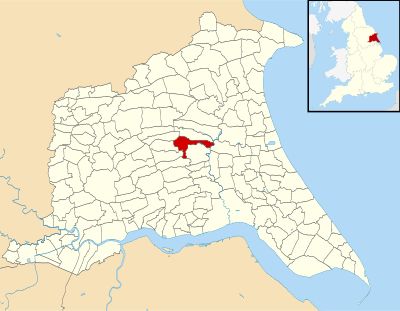
Lockington, village and civil parish in East Riding of Yorkshire, UK
Posizione: East Riding of Yorkshire
Coordinate GPS: 53.91410,-0.48666
Ultimo aggiornamento: 3 marzo 2025 alle 04:10
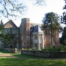
Watton Priory
3.7 km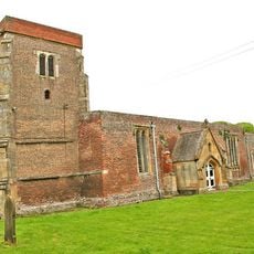
Church of St Mary
3.5 km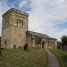
Church of St Mary
4.2 km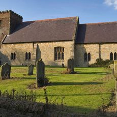
Church of All Saints
2 km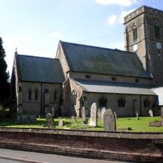
Church of Saint Michael
5.5 km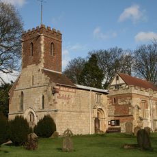
Church of St Mary
678 m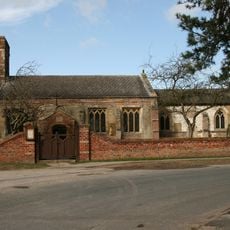
Church of St Catherine
4.3 km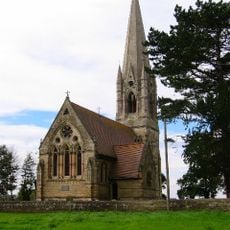
Church of St Leonard
3 km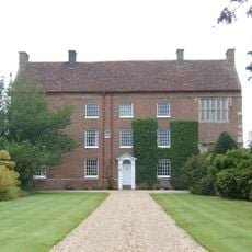
Beswick Hall
1.8 km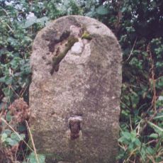
Milestone, ½ mile N of Watton
3.9 km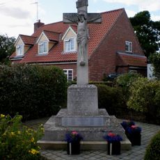
Etton (East Yorkshire) War Memorial
4.3 km
Milestone, Castle Farm, by the Smithy
4.4 km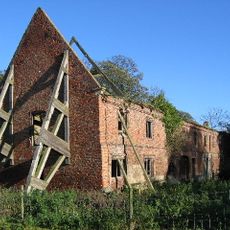
Outbuildings To Watton Abbey
3.7 km
65-69, Molescroft Road
7.3 km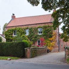
Manor Farmhouse
7.2 km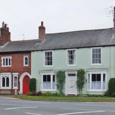
71, Molescroft Road
7.2 km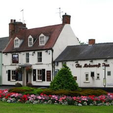
The Molescroft
7.2 km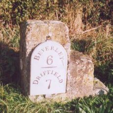
Milestone, Main Street, S end of Beswick village
1.8 km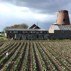
Etton Mill
4.8 km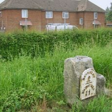
Milestone, N of Dog Kennel Lane jct.
5.8 km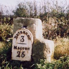
Milestone, Cherry Burton
4.6 km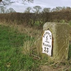
Milestone, 200m N of jct. to South Dalton
2.6 km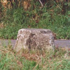
Milestone, ½ mile E of Kilnwick
2.1 km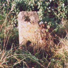
Milestone, Grange Road TI, Driffield Exit
6.9 km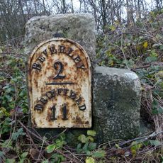
Milestone, N of entrance to Barracks
5.4 km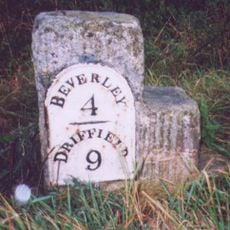
Milestone, Between Scorborough Lodge and Old Road Junction
3.3 km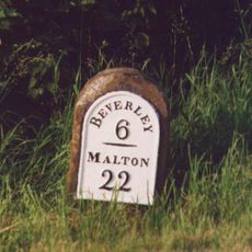
Milestone, ¼ mile N of southern jct. to Lund
2.5 km
Milestone, ¼ mile N of Leman Wood
3.3 kmHa visitato questo luogo? Tocchi le stelle per valutarlo e condividere la Sua esperienza o foto con la community! Provalo ora! Puoi annullarlo in qualsiasi momento.
Scopri tesori nascosti ad ogni viaggio!
Da piccoli caffè caratteristici a panorami nascosti, fuggi dalla folla e scova i posti che fanno davvero per te. La nostra app ti semplifica tutto: ricerca vocale, filtri furbi, percorsi ottimizzati e dritte autentiche da viaggiatori di tutto il mondo. Scaricala subito per vivere l'avventura sul tuo smartphone!

Un nuovo approccio alla scoperta turistica❞
— Le Figaro
Tutti i luoghi che meritano di essere esplorati❞
— France Info
Un’escursione su misura in pochi clic❞
— 20 Minutes