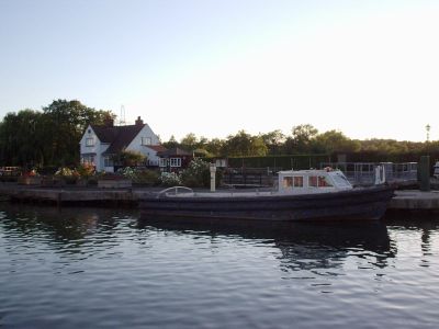
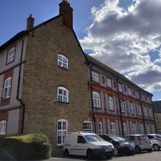
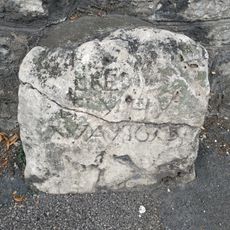
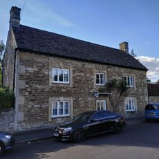
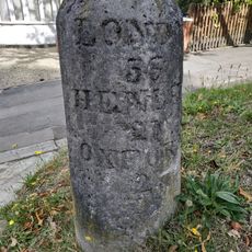
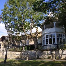
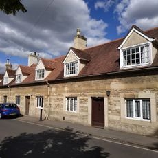
Sandford-on-Thames, village and civil parish in South Oxfordshire, England
Posizione: South Oxfordshire
Coordinate GPS: 51.71372,-1.21126
Ultimo aggiornamento: 21 marzo 2025 alle 06:11
Sandford Lock
1.6 km
St Mary the Virgin, Iffley
2.4 km
Church of St Mary and St Nicholas
1.2 km
Isis Bridge
2.4 km
Kennington Railway Bridge
2.3 km
Rose Isle
1.9 km
Hinksey Stream
2.4 km
Oxfordshire and Buckinghamshire Light Infantry War Memorial
2.4 km
Fiddler's Elbow
1.7 km
Church of St Andrew
1.2 km
Church of St James
2 km
St Swithun's Church
2.3 km
Minchery Farmhouse
335 m
Vue Oxford
410 m
Jasmine Cottage
2.3 km
The College
1.2 km
The Nuffield Press, East Wing And Attached Former School House
2.3 km
Stone On The South West Side Of Rose Hill At The North East Corner Of Denton House Boundary Wall
2.4 km
Court House
2.4 km
Stone On Rose Hill Outside Number 37
2.2 km
Rectory
2.4 km
Manor House
2.5 km
Kennington War Memorial, Oxfordshire
2.4 km
Church Hall
2.4 km
Barn Approximately 20 Metres North Of Number 211 (Kennington Manor House)
2.3 km
10, 12 And 14, Beauchamp Lane
1.9 km
The Catholic Church Of Blessed Dominic Barberi
1.2 km
Littlemore Hospital
1.1 kmHa visitato questo luogo? Tocchi le stelle per valutarlo e condividere la Sua esperienza o foto con la community! Provalo ora! Puoi annullarlo in qualsiasi momento.
Scopri tesori nascosti ad ogni viaggio!
Da piccoli caffè caratteristici a panorami nascosti, fuggi dalla folla e scova i posti che fanno davvero per te. La nostra app ti semplifica tutto: ricerca vocale, filtri furbi, percorsi ottimizzati e dritte autentiche da viaggiatori di tutto il mondo. Scaricala subito per vivere l'avventura sul tuo smartphone!
Un nuovo approccio alla scoperta turistica❞
— Le Figaro
Tutti i luoghi che meritano di essere esplorati❞
— France Info
Un’escursione su misura in pochi clic❞
— 20 Minutes