
Mollington, village and civil parish in Cherwell district, Oxfordshire, England
Posizione: Cherwell District
Coordinate GPS: 52.12313,-1.35642
Ultimo aggiornamento: 3 marzo 2025 alle 00:23
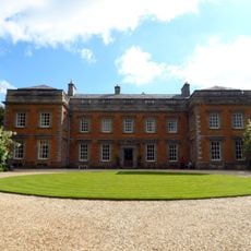
Farnborough Hall
2 km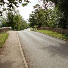
Cropredy Bridge
3 km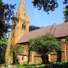
St John the Baptist's Church, Avon Dassett
4.1 km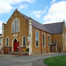
Cropredy Methodist Church
2.7 km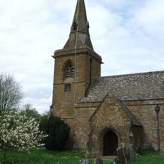
Church of St Botolph, Farnborough, Warks
2.3 km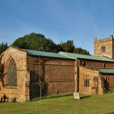
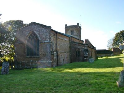
Church of All Saints
118 m
Church of St Michael
3.2 km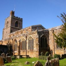
Church of St Mary the Virgin
2.8 km
Church of St James the Great
3.1 km
Church of St Lawrence
2.4 km
Church of All Saints
2.4 km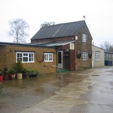
Bygones Museum
3 km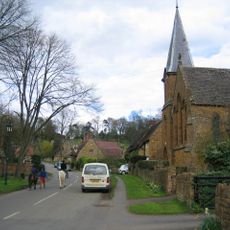
Roman Catholic Church of St Joseph and Attached Presbytery
4.1 km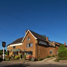
The Brasenose Arms
2.7 km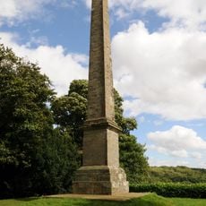
Farnborough Hall The Obelisk
1.7 km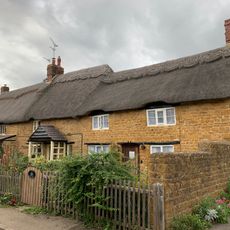
Beam Cottage Dingles And Cottage Abutting On Right
2.8 km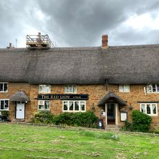
Red Lion Public House
2.9 km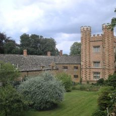
Hanwell Castle
3.8 km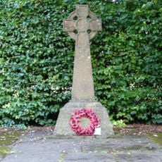
Avon Dasset War Memorial
4.1 km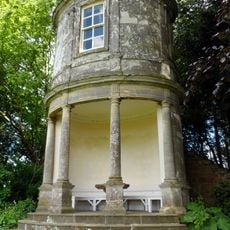
Farnborough Hall The Oval Pavilion
1.8 km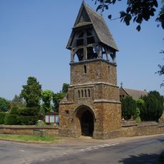
Lychgate at Church of All Saints
2.4 km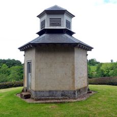
The Game Larder
2.1 km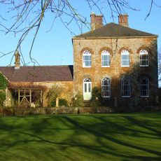
Prescote Manor
3.2 km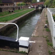
Cropredy Lock Oxford Canal
2.9 km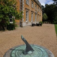
Farnborough Hall Sundial Approximately 4 Metres West
2.3 km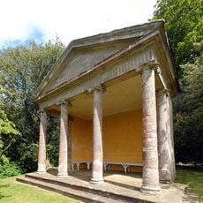
The Ionic Temple
2 km
Constone
2.7 km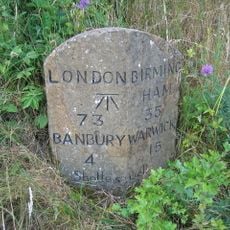
Milestone, rear northern village turn
2.9 kmRecensioni
Ha visitato questo luogo? Tocchi le stelle per valutarlo e condividere la Sua esperienza o foto con la community! Provalo ora! Puoi annullarlo in qualsiasi momento.
Scopri tesori nascosti ad ogni viaggio!
Da piccoli caffè caratteristici a panorami nascosti, fuggi dalla folla e scova i posti che fanno davvero per te. La nostra app ti semplifica tutto: ricerca vocale, filtri furbi, percorsi ottimizzati e dritte autentiche da viaggiatori di tutto il mondo. Scaricala subito per vivere l'avventura sul tuo smartphone!

Un nuovo approccio alla scoperta turistica❞
— Le Figaro
Tutti i luoghi che meritano di essere esplorati❞
— France Info
Un’escursione su misura in pochi clic❞
— 20 Minutes