
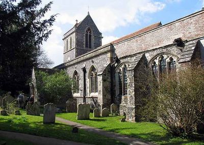
Tunstall, village in Kent, United Kingdom
Posizione: Borough of Swale
Coordinate GPS: 51.31902,0.72063
Ultimo aggiornamento: 8 marzo 2025 alle 14:08
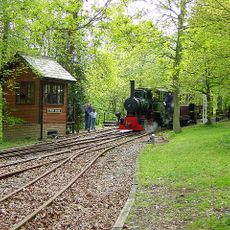
Bredgar and Wormshill Light Railway
3.6 km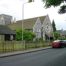
Church of All Saints, Murston
3.4 km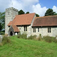
St Giles, Wormshill
4.1 km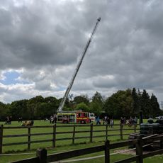
Bredgar & Wormshill Railway
3.6 km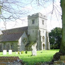
Church of St Dunstan
3.9 km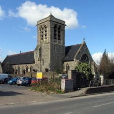
Church of the Holy Trinity
2.6 km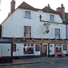
The Three Hats Inn
3.5 km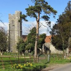
Church of St Nicholas
3 km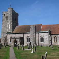
Church of St John the Baptist
1.9 km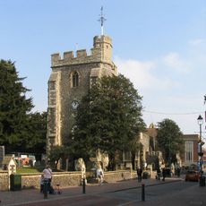
Church of St Michael
2.7 km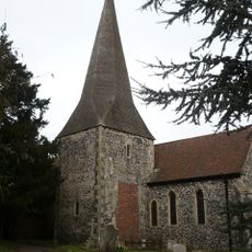
Church of St Lawrence
3.5 km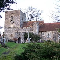
Church of St Peter and St Paul
2.2 km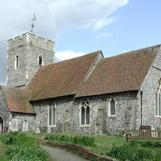
Church of St Bartholomew
3.9 km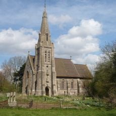
Church of St Catherine
3.9 km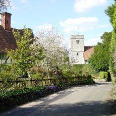
Church of St Mary and the Holy Cross
2.6 km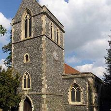
Church of St John the Baptist
624 m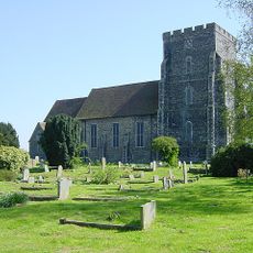
Parish Church of the Holy Trinity
4.3 km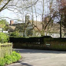
Milstead Manor
2.7 km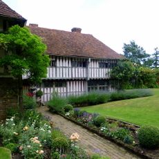
Bexon Manor
1.9 km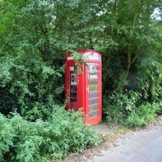
K6 Telephone Kiosk
4.2 km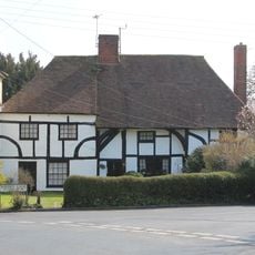
245 And 247, Borden Lane
1.7 km
Burnham House
1.9 km
Chantry House
1.9 km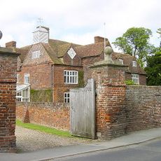
Tunstall House
588 m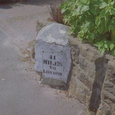
Milestone, Canterbury Road, by No. 201 "The Milestone"
3.4 km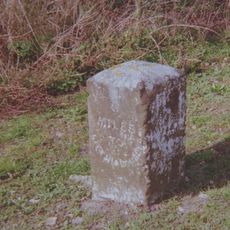
Milestone, Chestnut Street, opp. "Greenlands", S of bus shelter
3.9 km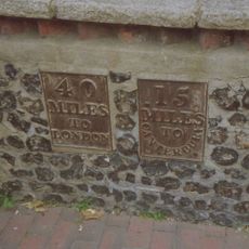
Milestone, High Street, SW corner of St Michael's Churchyard, in pedestrian zone
2.6 km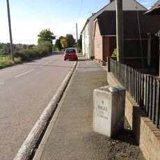
Milestone, Fox Cottage, Chestnut Street, just E of town between J5 of M2 and Key Street roundabout
3.2 kmRecensioni
Ha visitato questo luogo? Tocchi le stelle per valutarlo e condividere la Sua esperienza o foto con la community! Provalo ora! Puoi annullarlo in qualsiasi momento.
Scopri tesori nascosti ad ogni viaggio!
Da piccoli caffè caratteristici a panorami nascosti, fuggi dalla folla e scova i posti che fanno davvero per te. La nostra app ti semplifica tutto: ricerca vocale, filtri furbi, percorsi ottimizzati e dritte autentiche da viaggiatori di tutto il mondo. Scaricala subito per vivere l'avventura sul tuo smartphone!

Un nuovo approccio alla scoperta turistica❞
— Le Figaro
Tutti i luoghi che meritano di essere esplorati❞
— France Info
Un’escursione su misura in pochi clic❞
— 20 Minutes