
Alresford, village in United Kingdom
Posizione: Tendring
Confina con: Colchester
Coordinate GPS: 51.84920,1.00220
Ultimo aggiornamento: 7 marzo 2025 alle 17:36
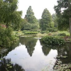
Beth Chatto Gardens
2.9 km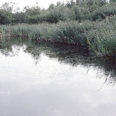
Fingringhoe Wick
2.7 km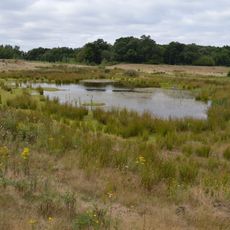
Cockaynes Wood
1.6 km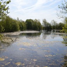
Wivenhoe Gravel Pit
3.1 km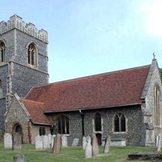
Church of St Mary Magdelene
3.3 km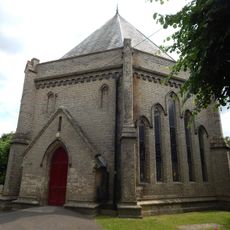
Church of St Lawrence
3.9 km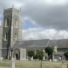
Church of All Saints
2.4 km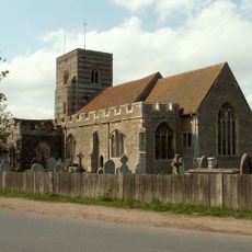
Church of St Andrew
3.9 km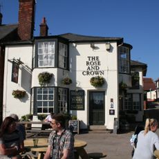
The Rose And Crown Public House
3 km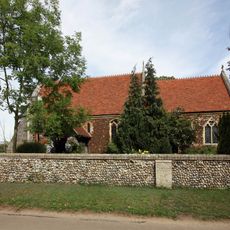
Old Church House
1.9 km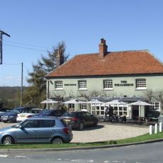
Whalebone Public House
4 km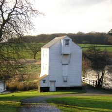
Thorrington tide mill
2.1 km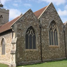
The Church of St Mary
3 km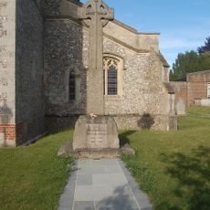
Alresford War Memorial
468 m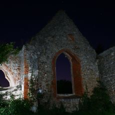
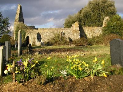
Remains of St Peter's Church, 460m south of Church Farm
509 m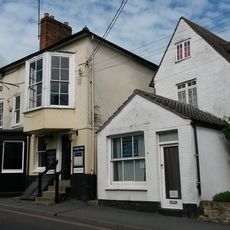
The Greyhound Public House
3 km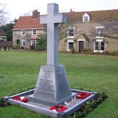
Elmstead War Memorial
3.6 km
Old Garrison House
3 km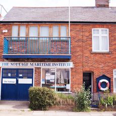
The Nottage
3.1 km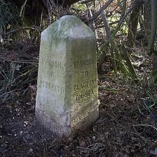
Milestone On South Verge Approximately 100 Metres East Of Junction With Heath Road
626 m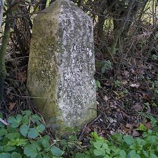
Milestone On Western Verge Approximately 100 Metres South East Of Junction With Cockaynes Lane
1.3 km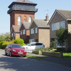
Wivenhoe Water Tower
3.4 km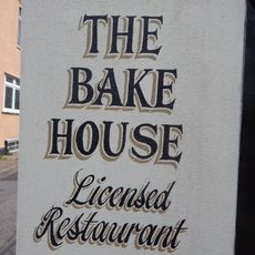
The Old Bakehouse
3.1 km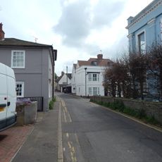
27, West Street
3.1 km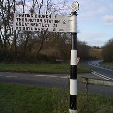
Guide Post Guide Post On Eastern Verge
2.4 km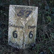
Mile Post On Southern Verge East Of Frating Lodge Tm 085232
2.7 km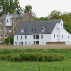
Fingringhoe mill
3.9 km
Milestone, St Osyth Road, 100m S Cockaynes Lane.
1.3 kmHa visitato questo luogo? Tocchi le stelle per valutarlo e condividere la Sua esperienza o foto con la community! Provalo ora! Puoi annullarlo in qualsiasi momento.
Scopri tesori nascosti ad ogni viaggio!
Da piccoli caffè caratteristici a panorami nascosti, fuggi dalla folla e scova i posti che fanno davvero per te. La nostra app ti semplifica tutto: ricerca vocale, filtri furbi, percorsi ottimizzati e dritte autentiche da viaggiatori di tutto il mondo. Scaricala subito per vivere l'avventura sul tuo smartphone!

Un nuovo approccio alla scoperta turistica❞
— Le Figaro
Tutti i luoghi che meritano di essere esplorati❞
— France Info
Un’escursione su misura in pochi clic❞
— 20 Minutes