
Dodford, village and civil parish in Northamptonshire, United Kingdom
Posizione: West Northamptonshire
Coordinate GPS: 52.23000,-1.10000
Ultimo aggiornamento: 5 marzo 2025 alle 08:39
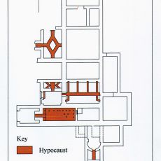
Borough Hill Roman villa
4.2 km
Flore House
2.6 km
Muscott
3.9 km
Church of St Michael and All Angels
3.5 km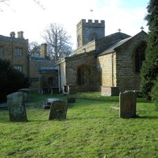
Church of St Peter and St Paul
3.6 km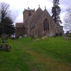
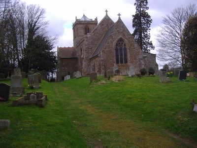
Church of St Mary the Virgin
1.1 km
Church of St Peter and St Paul
1.8 km
Church of All Saints
2.6 km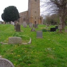
Church of All Saints
4.4 km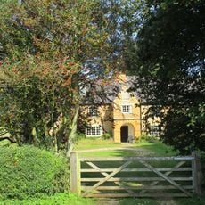
The Porch House
1.3 km
The Old Bakehouse
1.5 km
Grand Union Canal Lower Gate House
4.9 km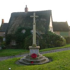
Newnham War Memorial, Northamptonshire
3.5 km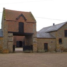
Gatehouse At Muscott House
3.9 km
Railway Viaduct over Church Street
1.7 km
Flore War Memorial
3.2 km
Marsh Cottage
3.2 km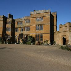
The Hall
3.6 km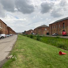
Former Weedon Barracks, Canal Enclosure Wall To South
1 km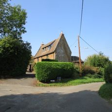
The Old School House
1.2 km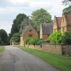
Manor Farmhouse
3.7 km
Manor Farm, Cottage Used As Outbuilding
3.7 km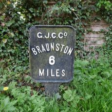
Milespost 3 Metres West Of Windlass Cottage By Towpath Of Grand Union Canal
4.7 km
Milestone, opp. service station
1.8 km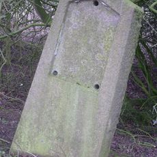
Milestone, W of B4037 jct
1.5 km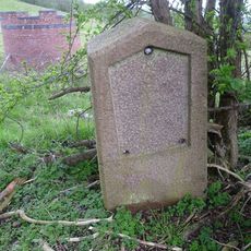
Milestone, above Stowehill Railway Tunnel
2.9 km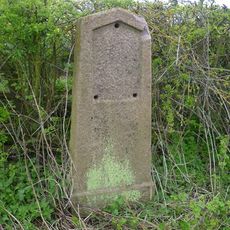
Milestone, W of The Grange and Globe Farm
763 m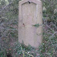
Milestone, E of Burnt Walls
3.1 kmRecensioni
Ha visitato questo luogo? Tocchi le stelle per valutarlo e condividere la Sua esperienza o foto con la community! Provalo ora! Puoi annullarlo in qualsiasi momento.
Scopri tesori nascosti ad ogni viaggio!
Da piccoli caffè caratteristici a panorami nascosti, fuggi dalla folla e scova i posti che fanno davvero per te. La nostra app ti semplifica tutto: ricerca vocale, filtri furbi, percorsi ottimizzati e dritte autentiche da viaggiatori di tutto il mondo. Scaricala subito per vivere l'avventura sul tuo smartphone!

Un nuovo approccio alla scoperta turistica❞
— Le Figaro
Tutti i luoghi che meritano di essere esplorati❞
— France Info
Un’escursione su misura in pochi clic❞
— 20 Minutes