
Standlake, village and civil parish in West Oxfordshire, England
Posizione: West Oxfordshire
Confina con: Hardwick-with-Yelford, Longworth, Northmoor, Stanton Harcourt, South Leigh, Aston, Cote, Shifford and Chimney
Sito web: http://standlakepc.org.uk
Coordinate GPS: 51.72800,-1.42800
Ultimo aggiornamento: 15 marzo 2025 alle 17:07
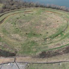
Devil's Quoits
2 km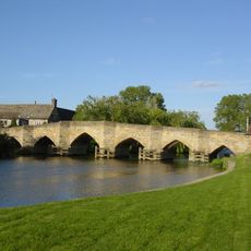
New Bridge
2.2 km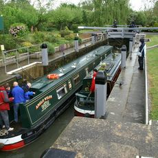
Shifford Lock
3.5 km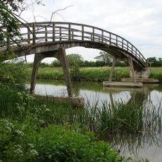
Hart's Weir Footbridge
3.4 km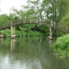
Tenfoot Bridge
5.7 km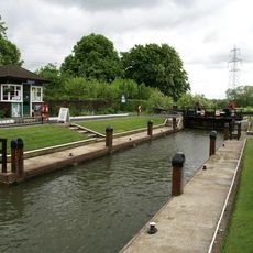
Northmoor Lock
3.7 km
Longworth House
4.2 km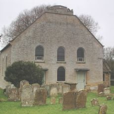
Cote Baptist Church
4.5 km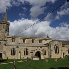
St Giles' Church, Standlake
246 m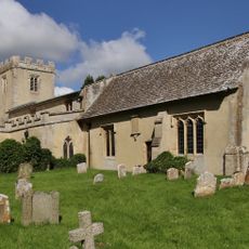
Church of St Mary
4.1 km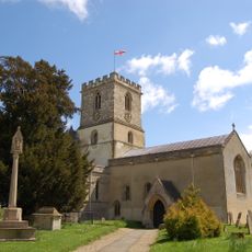
Church of St Michael, Stanton Harcourt
3.1 km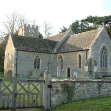
Church of St Margaret, Hinton Waldrist
4.8 km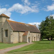
Church of St Mary, Cokethorpe
3.6 km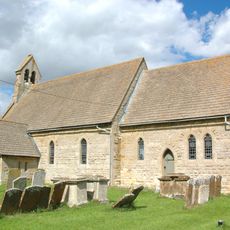
Church of St Mary
2.8 km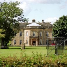
Cokethorpe House
3.8 km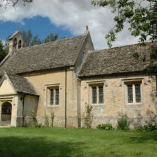
Church of St Nicholas And St Swithin
3.9 km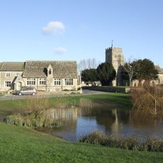
Church of St Bartholomew
5.6 km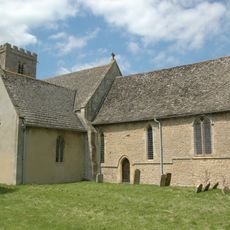
Church of St Denys
2.6 km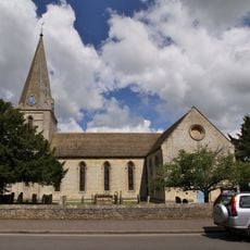
Church of St James
5.4 km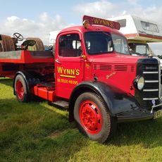
Ducklington Steam Rally
5.9 km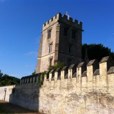
Pope's Tower Approximately 35 Metres South East Of Harcourt House
3 km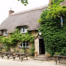
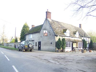
The Blue Boar Public House
4.1 km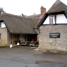
The Masons Arms Public House
5.2 km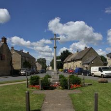
Aston War Memorial
5.5 km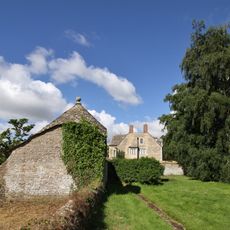
Longworth Manor, Wall And Gazebo 30 Metres East
4.2 km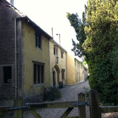
Harcourt House And Attached Walls And Outbuildings
3 km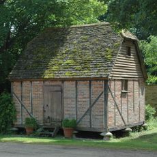
Rectory Farm, Barn Approximately 60 Metres North North East Of Farmhouse
2.6 km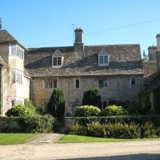
Rectory Farmhouse
2.6 kmHa visitato questo luogo? Tocchi le stelle per valutarlo e condividere la Sua esperienza o foto con la community! Provalo ora! Puoi annullarlo in qualsiasi momento.
Scopri tesori nascosti ad ogni viaggio!
Da piccoli caffè caratteristici a panorami nascosti, fuggi dalla folla e scova i posti che fanno davvero per te. La nostra app ti semplifica tutto: ricerca vocale, filtri furbi, percorsi ottimizzati e dritte autentiche da viaggiatori di tutto il mondo. Scaricala subito per vivere l'avventura sul tuo smartphone!

Un nuovo approccio alla scoperta turistica❞
— Le Figaro
Tutti i luoghi che meritano di essere esplorati❞
— France Info
Un’escursione su misura in pochi clic❞
— 20 Minutes