
Shenley Church End, suburb and civil parish in Milton Keynes, Buckinghamshire, England, UK
Posizione: City of Milton Keynes
Coordinate GPS: 52.02200,-0.78800
Ultimo aggiornamento: 24 marzo 2025 alle 08:57
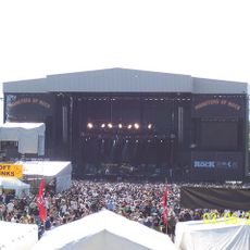
National Bowl
1.9 km
Concrete Cows
3.3 km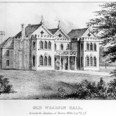
Whaddon Hall
3.2 km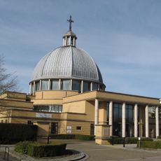
Church of Christ the Cornerstone
2.8 km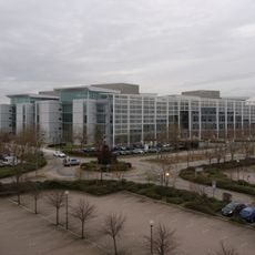
Quadrant:MK
2 km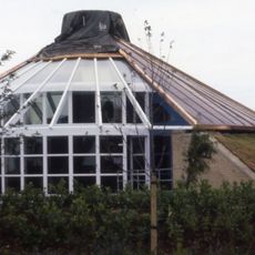
Energy World
1.2 km
Oxley Woods
1.7 km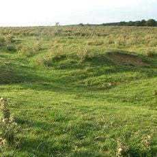
Snelshall Priory
2.7 km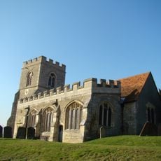
All Saints Church, Loughton
1.3 km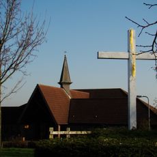
Church of the Servant King, Furzton
1.9 km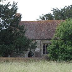
St Giles's Church, Tattenhoe
2.7 km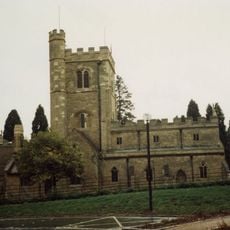
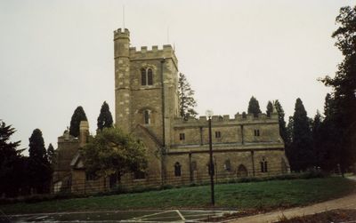
St. Mary's Church, Shenley
95 m
Oxley Mead
2.3 km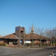
Church of the Holy Cross, Two Mile Ash
1.9 km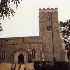
Church of St Mary
3.7 km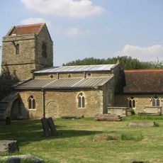
Church of St Lawrence
2.8 km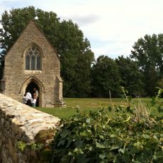
Chapel To North Of Bradwell Abbey House
3 km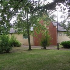
Christ the Vine
2.9 km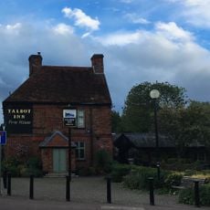
The Talbot Inn
580 m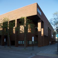
Milton Keynes Central Library
3.1 km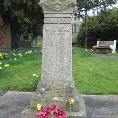
Shenley War Memorial
34 m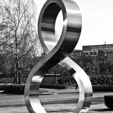
Octo
2.9 km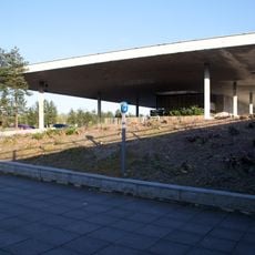
Former Bus Station, Station Square, Milton Keynes
1.8 km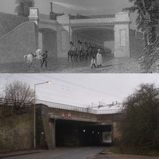
Denbigh Hall Railway Bridge
3.3 km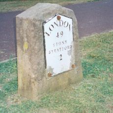
Milestone, Watling Street; on brow of hill in open area, Two Mile Ash
2.3 km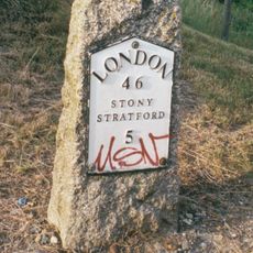
Milestone, Watling Street; 100m W of roundabout with Standing Way, W of Redmoor
2.6 km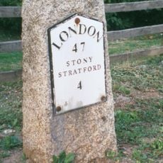
Milestone, Watling Street; Shenley Lodge, at jct with Kelvin Drive, N of Chaffron Way roundabout
1.2 km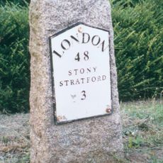
Milestone, Watling Street; at jct with Old Bell Lane, N of Shenley Church End
792 mHa visitato questo luogo? Tocchi le stelle per valutarlo e condividere la Sua esperienza o foto con la community! Provalo ora! Puoi annullarlo in qualsiasi momento.
Scopri tesori nascosti ad ogni viaggio!
Da piccoli caffè caratteristici a panorami nascosti, fuggi dalla folla e scova i posti che fanno davvero per te. La nostra app ti semplifica tutto: ricerca vocale, filtri furbi, percorsi ottimizzati e dritte autentiche da viaggiatori di tutto il mondo. Scaricala subito per vivere l'avventura sul tuo smartphone!

Un nuovo approccio alla scoperta turistica❞
— Le Figaro
Tutti i luoghi che meritano di essere esplorati❞
— France Info
Un’escursione su misura in pochi clic❞
— 20 Minutes