
Hutton Roof, village and civil parish in the South Lakeland district of Cumbria, England
Posizione: South Lakeland
Coordinate GPS: 54.19700,-2.66100
Ultimo aggiornamento: 6 marzo 2025 alle 21:21
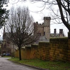
Whittington Hall
3.2 km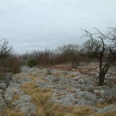
Hutton Roof Crags
1.5 km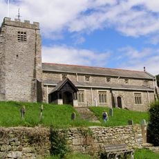
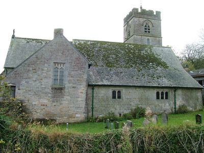
St Michael's Church, Whittington
3.5 km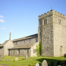
St James' Church, Burton-in-Kendal
4.1 km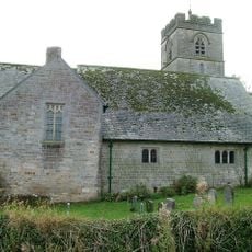
St John's Church, Hutton Roof
681 m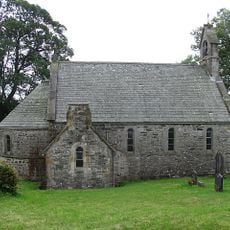
All Saints Church, Lupton
2.8 km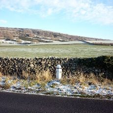
Milepost Approximately 300 Metres North Of Holme Park
4.2 km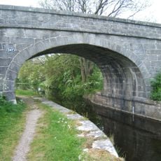
Holme Mill Bridge Over Kendal/Lancaster Canal
4.3 km
Sheerness Bridge Over Kendal/Lancaster Canal
4.3 km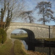
Holme Warehouse Bridge Over Kendal/Lancaster Canal
4.5 km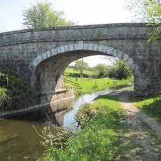
Holme Park Bridge Over Kendal/Lancaster Canal
4.5 km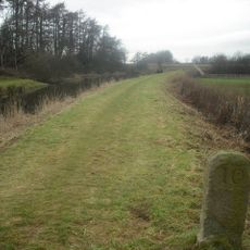
Milestone On Kendal/Lancaster Canal Approximately 300 Metres South South West Of Duke's Bridge
4.5 km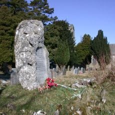
Hutton Roof War Memorial
623 m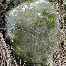
Milestone Approximately 650 Yards North West Of Tearnside Hall
2.2 km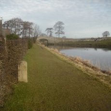
Milestone On Kendal/Lancaster Canal Approximately 100 Metres South Of Holme Warehouse Bridge
4.5 km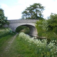
Holme Turnpike Bridge Over Kendal/Lancaster Canal
4.4 km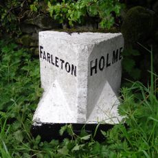
Boundary Stone Approximately 500 Metres South South West Of Townend Farm
4.4 km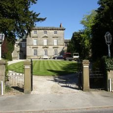
Burton House, North Wing; Burton House, South Wing; Burton House And Rear Garden Wall Attached To South Wing And Forming Rear Wa
4.4 km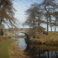
Janson's Bridge Over Kendal/Lancaster Canal
4.4 km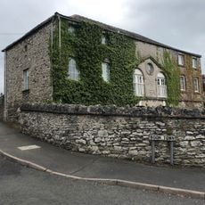
The Coach House
4.4 km
Biggins Hall Farmhouse
3.2 km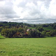
Sellet Hall
3.1 km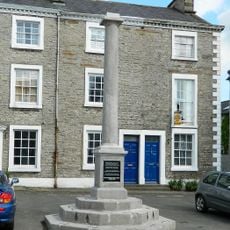
Market Cross
4.3 km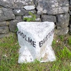
Boundary Stone Between Parishes Of Holme And Burton
4 km
Spout House Farmhouse
4.2 km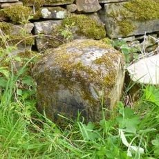
Boundary Stone Between Dalton And Hutton Roof
1.8 km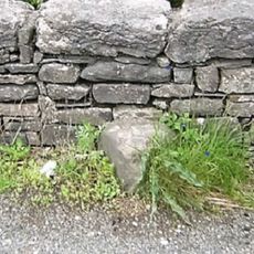
Boundary Stone Approximately 300 Metres South East Of Spout House Farmhouse
3.9 km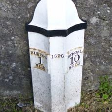
Milepost, S of B6384 jcn, just N of football pitch
4 kmRecensioni
Ha visitato questo luogo? Tocchi le stelle per valutarlo e condividere la Sua esperienza o foto con la community! Provalo ora! Puoi annullarlo in qualsiasi momento.
Scopri tesori nascosti ad ogni viaggio!
Da piccoli caffè caratteristici a panorami nascosti, fuggi dalla folla e scova i posti che fanno davvero per te. La nostra app ti semplifica tutto: ricerca vocale, filtri furbi, percorsi ottimizzati e dritte autentiche da viaggiatori di tutto il mondo. Scaricala subito per vivere l'avventura sul tuo smartphone!

Un nuovo approccio alla scoperta turistica❞
— Le Figaro
Tutti i luoghi che meritano di essere esplorati❞
— France Info
Un’escursione su misura in pochi clic❞
— 20 Minutes