
Shobrooke, village and civil parish in Mid Devon, Devon, England
Posizione: Mid Devon
Coordinate GPS: 50.80040,-3.60600
Ultimo aggiornamento: 4 marzo 2025 alle 17:02

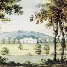
Downes, Crediton
2.4 km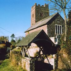
Church of St Mary the Virgin
3.3 km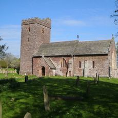
Church of St Mary the Virgin
2.4 km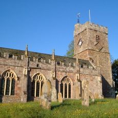
Church of St Cyriac and St Julitta
3.5 km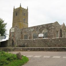
Church of St Matthew
4.9 km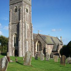
Church of St Swithin
665 m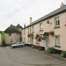
Half Moon Inn
4.9 km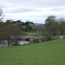
Bridge Over Lake, Approximately 35 Metres North Of South Lodge
1.7 km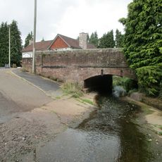
New Shuttern Bridge
3.6 km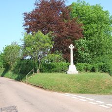
Shobrooke War Memorial
897 m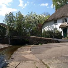
Old Shuttern Bridge
3.6 km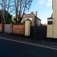
The Limes
3.3 km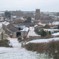
Poole Barton Including Adjoining Wall To North
4.8 km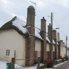
The Old Almshouses
4.9 km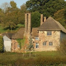
Upton Hellions Barton Including Cider House And Store Adjoining To North East
3.8 km
14, East Street
3.3 km
12 And 13, East Street
3.3 km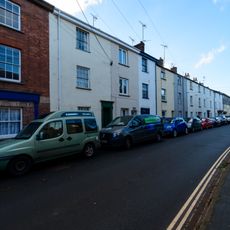
9, 10 And 10A, East Street
3.3 km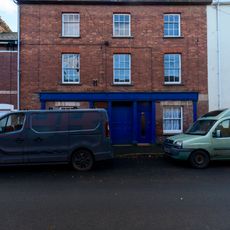
8A And 8B, East Street
3.3 km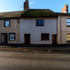
3, Mill Street
3.3 km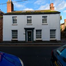
St Clares And Attached Cob Walls To Rear Garden
3.3 km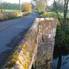
Sweetham Bridge
3 km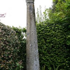
Stone Cross Above Crossroads Approximately 30 Metres North East Of Church Of St Cyriac And St Julitta
3.5 km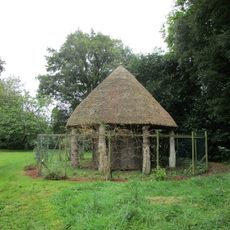
Summerhouse In Newton House Arboretum
3.4 km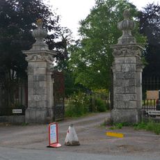
Gate Posts, Gates And Iron Railings Approximately 3 Metres South Of South Lodge
1.7 km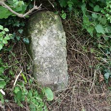
Milestone, 150m N of entrance to Efford Barns
2.1 km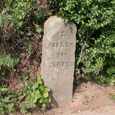
Milestone, SE of town, 30m W of Wellparks, 400m E of Shell Garage
3.1 km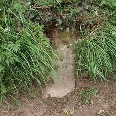
Milestone, 50m S of Shute Cross
2.8 kmHa visitato questo luogo? Tocchi le stelle per valutarlo e condividere la Sua esperienza o foto con la community! Provalo ora! Puoi annullarlo in qualsiasi momento.
Scopri tesori nascosti ad ogni viaggio!
Da piccoli caffè caratteristici a panorami nascosti, fuggi dalla folla e scova i posti che fanno davvero per te. La nostra app ti semplifica tutto: ricerca vocale, filtri furbi, percorsi ottimizzati e dritte autentiche da viaggiatori di tutto il mondo. Scaricala subito per vivere l'avventura sul tuo smartphone!

Un nuovo approccio alla scoperta turistica❞
— Le Figaro
Tutti i luoghi che meritano di essere esplorati❞
— France Info
Un’escursione su misura in pochi clic❞
— 20 Minutes