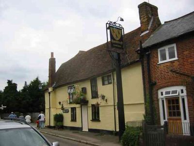
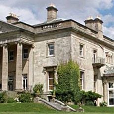
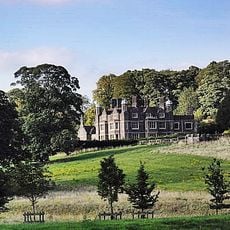
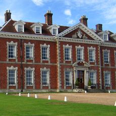
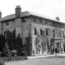
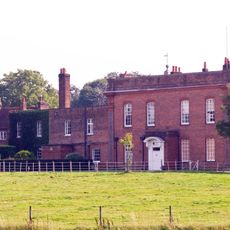
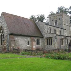
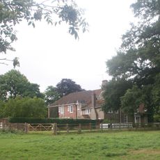
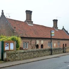
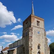
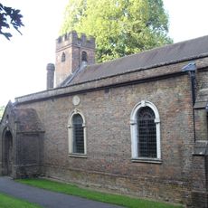
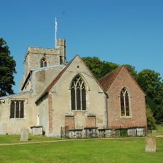
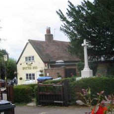
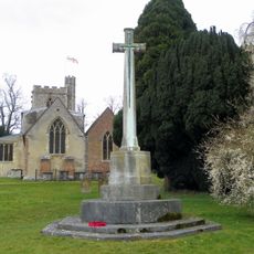
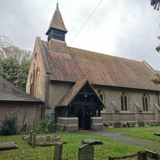
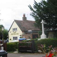
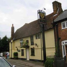
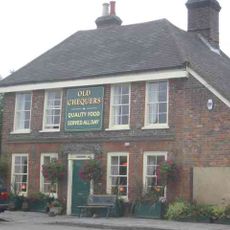
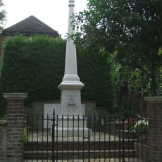
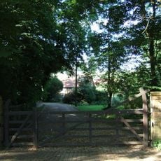
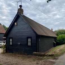
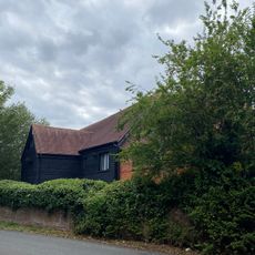
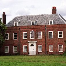
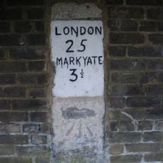
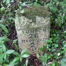
Flamstead, village and civil parish in northwest Hertfordshire, England
Posizione: Dacorum
Sito web: http://flamsteadpc.org.uk
Coordinate GPS: 51.81874,-0.43744
Ultimo aggiornamento: 12 marzo 2025 alle 22:47
Gaddesden Place
5.2 km
Cell Park
3.4 km
Beechwood Park
3.3 km
Caddington Hall
3 km
Golden Parsonage
3.4 km
Parish Church of St Mary
3.7 km
The Hoo
4.5 km
Saunders Almshouses
113 m
Church of St Leonard
102 m
Church of St John the Baptist
3.1 km
Church of St John the Baptist
5.9 km
Flamstead War Memorial Set on Churchyard Wall
127 m
Great Gaddesden War Memorial Cross
5.9 km
Church of St Andrew, Slip End
4.4 km
The Spotted Dog Public House
140 m
The Three Blackbirds Public House
98 m
Ye Olde Chequers Public House
3 km
Barn At Little Lovetts End Farm To East Of House
4.5 km
Gates Flanking Walls And Railings At London Road Lodge (New Lodge)
3.6 km
Markyate War Memorial
3 km
Lynch House
5 km
Milestone Opposite No 51
2 km
Stable Next Gate At Little Lovetts End Farm
4.5 km
St Agnell's Farmhouse
4.5 km
Cumberland House, Including Front Wall And Railings
3.6 km
Milestone, Dunstable Road, opp. Bylands House
2.8 km
Milestone, Dunstable Road, Whitehill wood, 300m E of M1 jct 9
1.6 km
Milestone, Old Watling Street (by-passed section), opp. "La Londe" bungalow
840 mHa visitato questo luogo? Tocchi le stelle per valutarlo e condividere la Sua esperienza o foto con la community! Provalo ora! Puoi annullarlo in qualsiasi momento.
Scopri tesori nascosti ad ogni viaggio!
Da piccoli caffè caratteristici a panorami nascosti, fuggi dalla folla e scova i posti che fanno davvero per te. La nostra app ti semplifica tutto: ricerca vocale, filtri furbi, percorsi ottimizzati e dritte autentiche da viaggiatori di tutto il mondo. Scaricala subito per vivere l'avventura sul tuo smartphone!
Un nuovo approccio alla scoperta turistica❞
— Le Figaro
Tutti i luoghi che meritano di essere esplorati❞
— France Info
Un’escursione su misura in pochi clic❞
— 20 Minutes