
Rosliston, village and civil parish in South Derbyshire district, Derbyshire, England
Posizione: South Derbyshire
Confina con: Drakelow, Walton upon Trent, Coton in the Elms, Lullington, Netherseal, Linton, Cauldwell
Coordinate GPS: 52.74800,-1.64200
Ultimo aggiornamento: 17 maggio 2025 alle 07:57
Catton Hall
4.1 km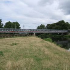
Bailey Bridge
3.2 km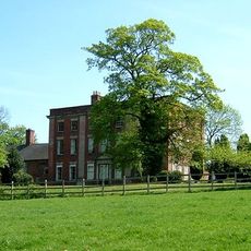
Walton Hall
3 km
Gresley Priory
5.2 km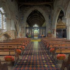
Church of St Andrew, Clifton Campville
6.1 km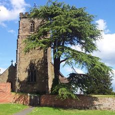
St Peter's Church, Netherseal
6 km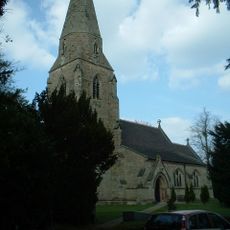
All Saints' Church, Lullington
3.9 km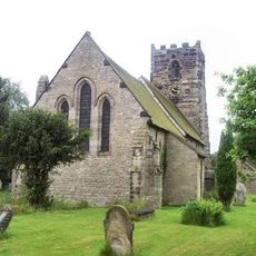
St Lawrence's Church
3 km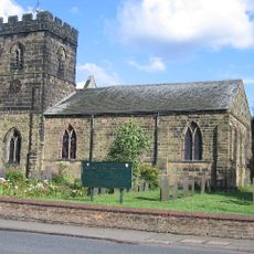
Parish Church of St Mary and Saint George
5.2 km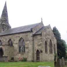
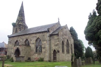
St Mary's Church, Rosliston
86 m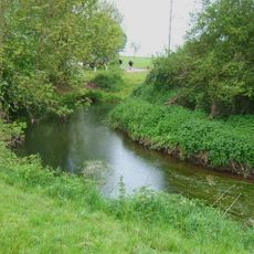
River Mease SSSI
5.9 km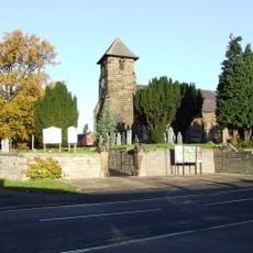
Church of St Matthew
5.4 km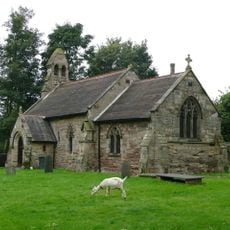
Church of St Giles
1.2 km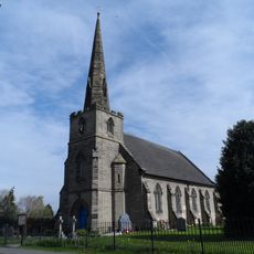
Church of St Mary
1.4 km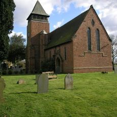
Church of Holy Trinity
5.5 km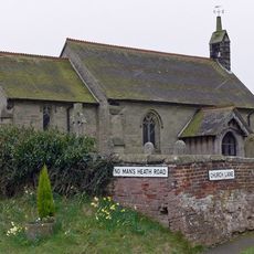
Church of St Matthew
6.8 km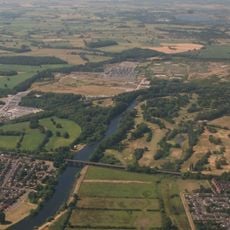
Drakelow Viaduct
4.3 km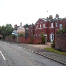
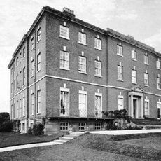
Overseal House
5.7 km
Milepost
4.2 km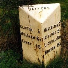
Milepost At Ngr Sk 2477 1091
5.9 km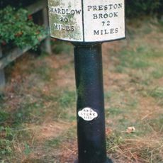
Trent And Mersey Canal, Canal Milepost At Sk 2033 1848
4.3 km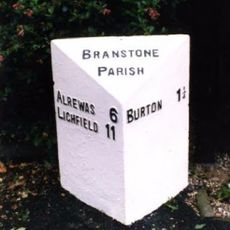
Milepost, near Branston Depot, Paget School
4.5 km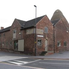
Sharpes Pottery Museum
6.3 km
Village Hall
3.9 km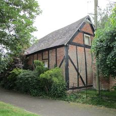
Former Stable Approximately 10 Yards North West Of The Old Vicarage
5.4 km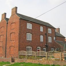
Hurst Farmhouse
6.8 km
Churchyard Walls And Gates To All Saints Church
3.9 km
Milepost, N of Barton Turns
4.1 kmHa visitato questo luogo? Tocchi le stelle per valutarlo e condividere la Sua esperienza o foto con la community! Provalo ora! Puoi annullarlo in qualsiasi momento.
Scopri tesori nascosti ad ogni viaggio!
Da piccoli caffè caratteristici a panorami nascosti, fuggi dalla folla e scova i posti che fanno davvero per te. La nostra app ti semplifica tutto: ricerca vocale, filtri furbi, percorsi ottimizzati e dritte autentiche da viaggiatori di tutto il mondo. Scaricala subito per vivere l'avventura sul tuo smartphone!

Un nuovo approccio alla scoperta turistica❞
— Le Figaro
Tutti i luoghi che meritano di essere esplorati❞
— France Info
Un’escursione su misura in pochi clic❞
— 20 Minutes