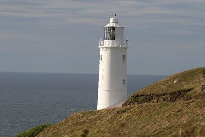
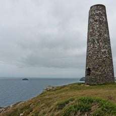
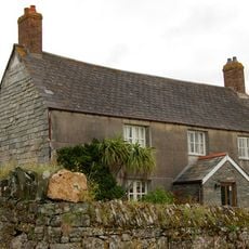
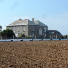
Trevose Head Lighthouse, Faro ed edificio classificato Grado II a Trevose Head, Cornovaglia, Inghilterra
Il faro di Trevose Head è una torre circolare in mattoni che si eleva per 27 metri con una passerella di parapetto e una lanterna coronata da una banderuola. La struttura si trova accanto a due piccoli edifici che ospitavano il personale del faro.
L'ingegnere James Walker ha progettato questo faro nel 1847, con la costruzione completata da Jacob e Thomas Oliver and Sons da Falmouth. Un segnale di nebbia è stato installato nel 1882 per guidare le navi durante il cattivo tempo.
Il faro rappresenta un esempio di ingegneria marittima vittoriana, con due piccoli edifici a un piano che mostrano come vivevano e lavoravano i guardiani. Questi edifici rivelano la routine quotidiana di chi manteneva accesa la luce per le navi di passaggio.
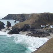
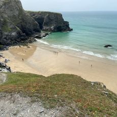
Il faro è raggiungibile tramite vari sentieri escursionistici vicino a St Merryn con diversi percorsi adatti a diversi livelli di forma fisica. Il parcheggio è disponibile nelle vicinanze e il sito rimane accessibile durante la maggior parte delle condizioni di marea, anche se il tempo costiero può cambiare rapidamente.
La torre ha una banderuola in cima che funge sia da decorazione che da funzione, aiutando le navi a comprendere i modelli di vento vicino al capo. La combinazione di luce e segnale di nebbia ha reso questo luogo un sistema di avvertimento completo per uno dei tratti costieri più pericolosi.
La comunità dei viaggiatori curiosi
AroundUs riunisce migliaia di luoghi selezionati, consigli locali e gemme nascoste, arricchiti ogni giorno da oltre 60,000 contributori in tutto il mondo.