
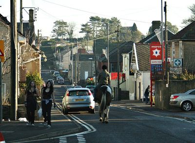
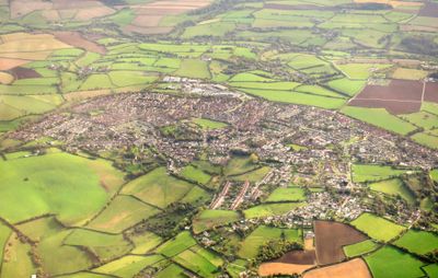
Peasedown St John, village in the United Kingdom
Posizione: Bath and North East Somerset
Coordinate GPS: 51.31510,-2.42420
Ultimo aggiornamento: 3 marzo 2025 alle 12:52
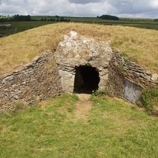
Stoney Littleton Long Barrow
3 km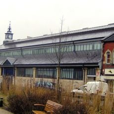
Radstock Museum
2.9 km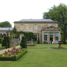
Camerton Court
1.8 km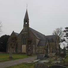
St John's Church, Peasedown St John
633 m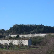
Writhlington SSSI
2.1 km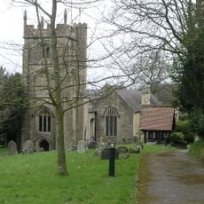
Church of St Peter, Camerton Park
1.8 km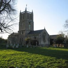
Church of St Luke and St Andrew, Priston
3.3 km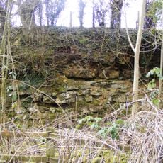
Kilmersdon Road Quarry
3.6 km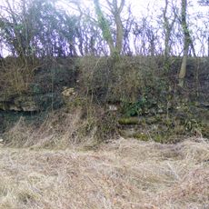
Bowlditch Quarry
4.1 km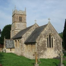
Church of All Saints, Dunkerton
2 km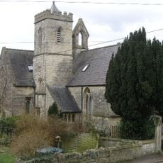
Holy Trinity Church, Clandown
2.9 km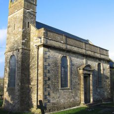
Church of St James the Less
2.1 km
Red Post Inn
697 m
Parish Church of St Nicholas
3.2 km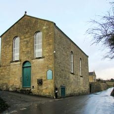
Withyditch Baptist Chapel
2 km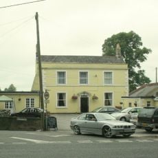
The Railway Public House
3.4 km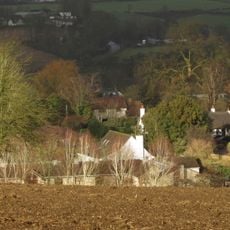
Thatched Cottage
2.1 km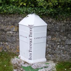
Boundary Marker About 10 Metres South West Of Red Post Inn
724 m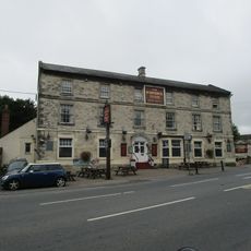
The Waldegrave Arms Hotel
2.9 km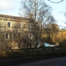
Radford House Farmhouse
3.8 km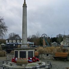
Radstock War Memorial
2.9 km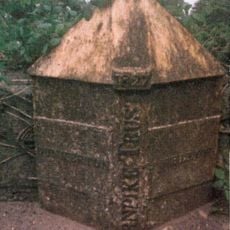
Boundary Post On A367 At Dunkerton Bridge National Grid Reference St 7156 5932
2.2 km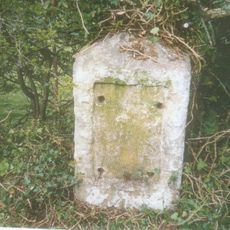
Milestone At Ngr St 7182 6040
3.3 km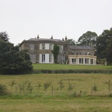
Parish's House
3.4 km
Tunley Farmhouse
2.6 km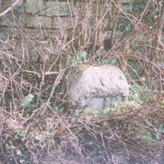
Milestone, Bath New Road; out of Radstock
2.5 km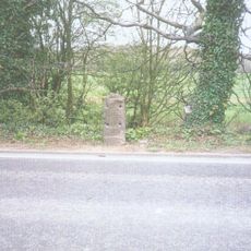
Milestone, Peasedown Flat, nr entrance to Woodborough House
1.4 km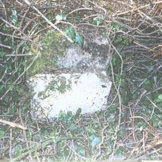
Milestone, Terry Hill, NW of Ammerdown crossroads
4.1 kmRecensioni
Ha visitato questo luogo? Tocchi le stelle per valutarlo e condividere la Sua esperienza o foto con la community! Provalo ora! Puoi annullarlo in qualsiasi momento.
Scopri tesori nascosti ad ogni viaggio!
Da piccoli caffè caratteristici a panorami nascosti, fuggi dalla folla e scova i posti che fanno davvero per te. La nostra app ti semplifica tutto: ricerca vocale, filtri furbi, percorsi ottimizzati e dritte autentiche da viaggiatori di tutto il mondo. Scaricala subito per vivere l'avventura sul tuo smartphone!

Un nuovo approccio alla scoperta turistica❞
— Le Figaro
Tutti i luoghi che meritano di essere esplorati❞
— France Info
Un’escursione su misura in pochi clic❞
— 20 Minutes