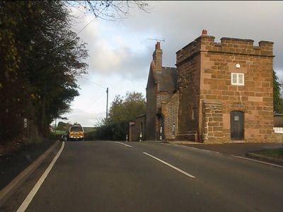
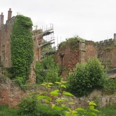
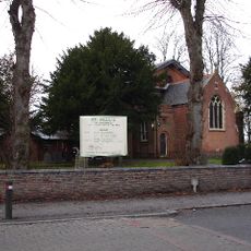
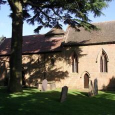
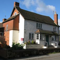
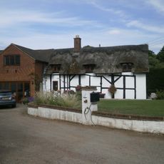
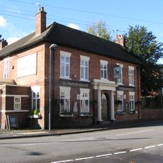
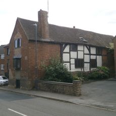
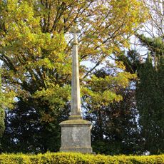
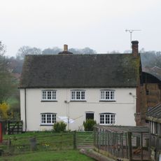
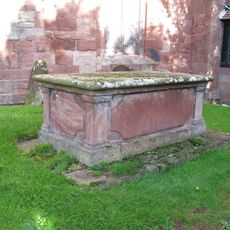
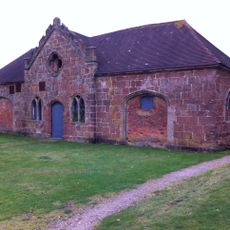
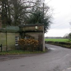
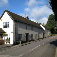
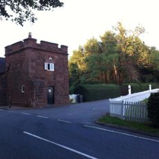
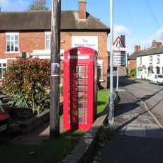
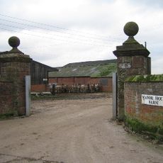
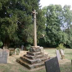
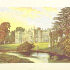
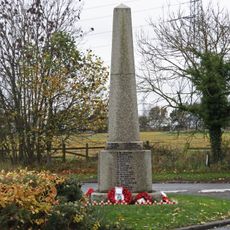
Astley, village in Warwickshire, UK
Posizione: North Warwickshire
Coordinate GPS: 52.50142,-1.54254
Ultimo aggiornamento: 3 marzo 2025 alle 10:06
Arbury Hall
2.4 km
Astley Castle
110 m
St Paul's Church, Stockingford
3 km
Church of St Mary the Virgin, Astley
71 m
Church of St Mary
4.4 km
Church of St Wilfred
3.1 km
Church of St Lawrence
3.9 km
5 Table Tombs South And East Of Chancel And South Of Nave, Churchyard Of Church Of St Mary And All Saints
3.8 km
Church of St Mary and All Saints
3.8 km
Butchers Public House
3.8 km
Odeon Nuneaton
4.3 km
Didgley Cottage
3.7 km
The Manor Public House
3.8 km
Stables at Arbury Hall and attached wall and gate pier to left
2.3 km
Alpha House
3.8 km
Ansley War Memorial
3.8 km
Berryfields Farmhouse
3.3 km
Chest Tomb, 2 Metres South Of South West Corner Of Nave, Church Of St Mary And All Saints
3.8 km
Stable block at Astley Castle
15 m
The Lodge At Fillongley Hall
4.3 km
Fillongley Butchers, 20 Metres North Of Butchers Public House
3.8 km
Part Of Churchyard Cross, 6 Metres South Of South West Corner Of Tower Of Church Of St Mary And All Saints
3.8 km
Astley Lodge
271 m
K6 Telephone Kiosk
3.8 km
Gate Pier, East Side Of Entrance To Manor House Farm
5 km
Churchyard Cross, 10 Metres South Of Church Of St Mary And All Saints
3.8 km
North Lodge, Arbury Hall
2.7 km
Ash Green War Memorial, Warwickshire
5.1 kmHa visitato questo luogo? Tocchi le stelle per valutarlo e condividere la Sua esperienza o foto con la community! Provalo ora! Puoi annullarlo in qualsiasi momento.
Scopri tesori nascosti ad ogni viaggio!
Da piccoli caffè caratteristici a panorami nascosti, fuggi dalla folla e scova i posti che fanno davvero per te. La nostra app ti semplifica tutto: ricerca vocale, filtri furbi, percorsi ottimizzati e dritte autentiche da viaggiatori di tutto il mondo. Scaricala subito per vivere l'avventura sul tuo smartphone!
Un nuovo approccio alla scoperta turistica❞
— Le Figaro
Tutti i luoghi che meritano di essere esplorati❞
— France Info
Un’escursione su misura in pochi clic❞
— 20 Minutes