
Woodleigh, village and civil parish in Devon, England
Posizione: South Hams
Coordinate GPS: 50.35000,-3.76667
Ultimo aggiornamento: 13 marzo 2025 alle 07:48
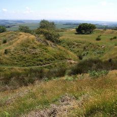
Blackdown Rings
2.4 km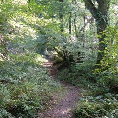
Andrew's Wood
3.6 km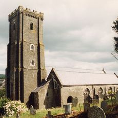
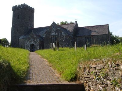
Church of St Andrew
4.1 km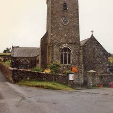
Church of St Michael and All Angels
3.7 km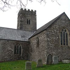
All Saints Church
2 km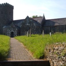
Church of St Mary
2.7 km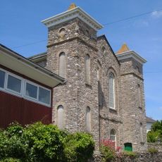
Congregational Chapel
3.9 km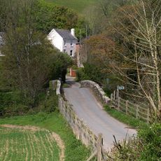
Loddiswell Mill Bridge
3.7 km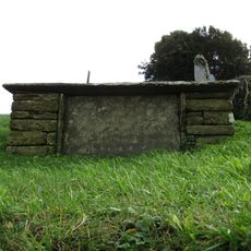
Scoble Chest Tomb About 4 Metres South South West Of Porch Of Church Of St Andrew
4.1 km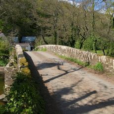
Newmill Bridge
4.4 km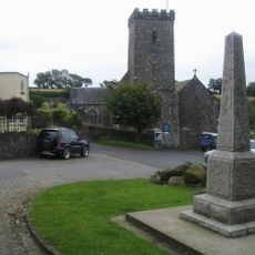
Loddiswell War Memorial
3.7 km
Idstone Bridge
4.5 km
Milestone At Ngr 743 528 About 440 Metres South Of Cleave Farmhouse
1.3 km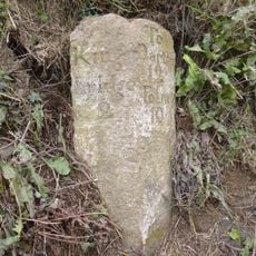
Milestone Circa 50 Metres North Of Stumpypost Cross
4.2 km
Lower Cliston Farmhouse
4.2 km
Hendham House
544 m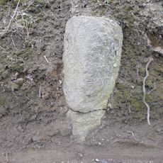
Milestone At Hillcrest, About 230 Metres North Of Fib Cross
3.1 km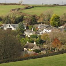
Three Ways
5 km
Milestone At Ngr 719487
3.7 km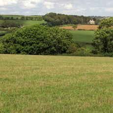
Alleron House
3.7 km
Model Farm Group At Longclose Farm
5.1 km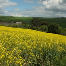
Longclose Farm
5.1 km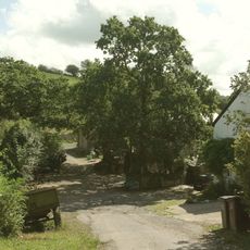
Lower Bearscombe Farmhouse
2.5 km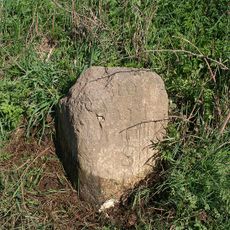
Milestone, Totnes Cross, just above jct with A381
3.8 km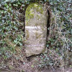
Milestone, Moreleigh, Place Barton Farm, S side of first fork in village
2.7 km
Milestone, 150m SE of Gara Bridge, just N of Field Gate
2.3 km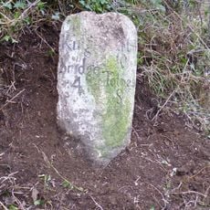
Milestone, N of Higher Fallapits Farm, half mile NE of The Mounts village
2.3 km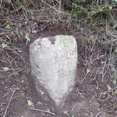
Milestone, half mile NE of "Chilley", opp. lay-by
2.6 kmRecensioni
Ha visitato questo luogo? Tocchi le stelle per valutarlo e condividere la Sua esperienza o foto con la community! Provalo ora! Puoi annullarlo in qualsiasi momento.
Scopri tesori nascosti ad ogni viaggio!
Da piccoli caffè caratteristici a panorami nascosti, fuggi dalla folla e scova i posti che fanno davvero per te. La nostra app ti semplifica tutto: ricerca vocale, filtri furbi, percorsi ottimizzati e dritte autentiche da viaggiatori di tutto il mondo. Scaricala subito per vivere l'avventura sul tuo smartphone!

Un nuovo approccio alla scoperta turistica❞
— Le Figaro
Tutti i luoghi che meritano di essere esplorati❞
— France Info
Un’escursione su misura in pochi clic❞
— 20 Minutes