Attiva posizione

Abbiamo bisogno della tua posizione per mostrarti luoghi interessanti intorno a te

Scopri luoghi nelle vicinanze

Trova luoghi interessanti e gemme nascoste intorno a te

Indicazioni precise

Ottieni indicazioni precise e distanze verso i luoghi

La tua posizione non viene mai condivisa con altri utenti. Viene utilizzata solo quando tocchi il pulsante posizione.

Hassop

Accedi al tuo account

Inizia a esplorare — è gratis

Scelto da 63.824 viaggiatori nel mondo

Continua con Google
Continua con Apple
o

Ti invieremo un codice per connetterti

Continuando, accetti i nostri Termini e Condizioni e la nostra Informativa sulla Privacy

Controlla la tua casella di posta

Abbiamo inviato un codice PIN nella tua casella di posta. Inserisci il codice qui sotto.

Discussion Recensioni 1 Foto
2.1k Popolarità

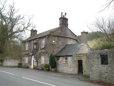
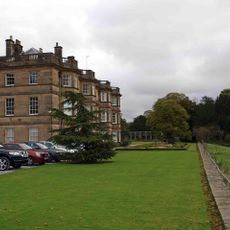
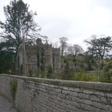
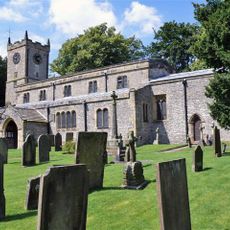
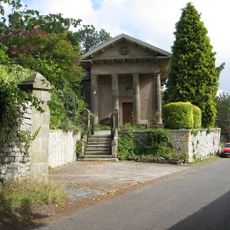
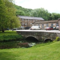
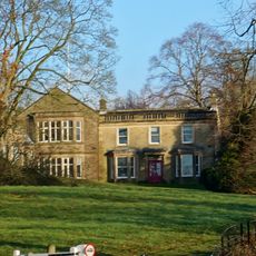
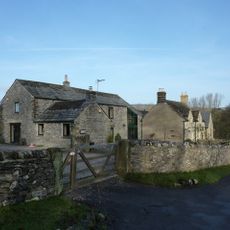
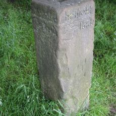
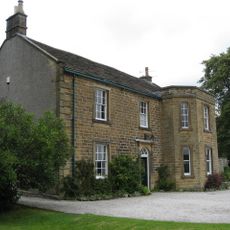
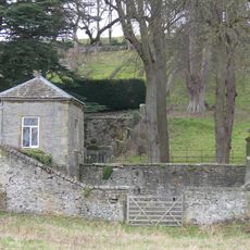
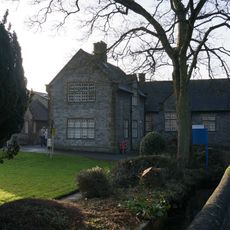
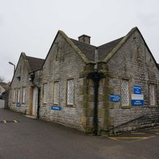
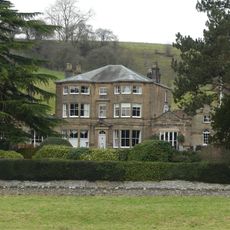
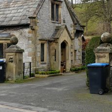
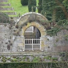
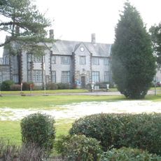
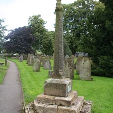
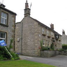
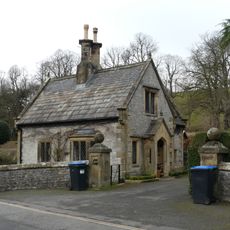
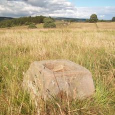
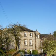
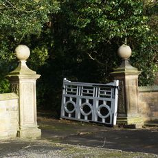
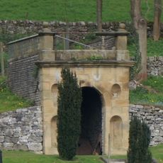
Hassop, village and civil parish in Derbyshire Dales district, Derbyshire, England

La comunità dei viaggiatori curiosi

AroundUs riunisce migliaia di luoghi selezionati, consigli locali e gemme nascoste, arricchiti ogni giorno da oltre 60,000 contributori in tutto il mondo.

Inizia a esplorare
Posizione
Confina con
Calver, Great Longstone, Rowland, Ashford in the Water, Bakewell, Edensor, Pilsley, Baslow and Bubnell
Coordinate GPS
53.24700,-1.66700
Ultimo aggiornamento
21 aprile 2025 alle 22:40
Intorno a questo luogo
Hassop Hall
Regno Unito

Hassop Hall

135 m
Holme Hall, Bakewell
Regno Unito

Holme Hall, Bakewell

3.3 km
St Giles' Church, Longstone
Regno Unito

St Giles' Church, Longstone

2.3 km
Church of All Saints, Hassop
Regno Unito

Church of All Saints, Hassop

62 m
Lumford Mill
Regno Unito

Lumford Mill

3.2 km
Aldern House (eastern part only)
Regno Unito

Aldern House (eastern part only)

2.9 km
Churchdale Cottage
Regno Unito

Churchdale Cottage

2.3 km
Guidestone at OS236697
Regno Unito

Guidestone at OS236697

2.8 km
The Vicarage
Regno Unito

The Vicarage

2.3 km
Summerhouse at Holme Hall with attached walled enclosure
Regno Unito

Summerhouse at Holme Hall with attached walled enclosure

3.3 km
Community Transport Office at Newholme Hospital
Regno Unito

Community Transport Office at Newholme Hospital

3.2 km
Northern part of The Busy Bee Day Nursery at Newholme Hospital
Regno Unito

Northern part of The Busy Bee Day Nursery at Newholme Hospital

3.2 km
Burre House (excluding C20 garages at rear of eastern wing)
Regno Unito

Burre House (excluding C20 garages at rear of eastern wing)

3.2 km
Entrance gate piers and attached walls at East and West Lodges to Holme Hall
Regno Unito

Entrance gate piers and attached walls at East and West Lodges to Holme Hall

3.3 km
East platform wall at former Bakewell Railway Station
Regno Unito

East platform wall at former Bakewell Railway Station

3.3 km
Terrace walls with associated steps and gateways to east of Holme Hall
Regno Unito

Terrace walls with associated steps and gateways to east of Holme Hall

3.2 km
Milepost At Os 212708
Regno Unito

Milepost At Os 212708

1.9 km
Newholme Hospital (Main Building)
Regno Unito

Newholme Hospital (Main Building)

3.2 km
Milepost At Os 226703
Regno Unito

Milepost At Os 226703

2 km
Churchyard Cross
Regno Unito

Churchyard Cross

2.3 km
White Lion
Regno Unito

White Lion

2.4 km
Gatepiers, Gates And Railings To Thornbridge Hall
Regno Unito

Gatepiers, Gates And Railings To Thornbridge Hall

2.2 km
Milepost At Os 235713
Regno Unito

Milepost At Os 235713

1.5 km
The West Lodge
Regno Unito

The West Lodge

3.3 km
Bowl barrow and wayside cross WSW of Pilsley
Regno Unito

Bowl barrow and wayside cross WSW of Pilsley

1.9 km
Nurses home at rear of Newholme Hospital
Regno Unito

Nurses home at rear of Newholme Hospital

3.2 km
Main entrance gateway to Burre House with attached wing walls
Regno Unito

Main entrance gateway to Burre House with attached wing walls

3.2 km
Gazebo at Holme Hall
Regno Unito

Gazebo at Holme Hall

3.2 km
Mostra la mappa completa
Recensioni
Condividi la tua esperienza

No review yet

Discussioni
Avvia una discussione...

No discussion yet

« Hassop - village and civil parish in Derbyshire Dales district, Derbyshire, England » è fornito da Around Us (it.aroundus.com). Le immagini e i testi sono tratti dal progetto Wikimedia con licenza Creative Commons. È possibile copiare, distribuire e modificare copie di questa pagina, alle condizioni stabilite dalla licenza, a condizione che questa nota sia chiaramente visibile.

Scopri tesori nascosti ad ogni viaggio!

Da piccoli caffè caratteristici a panorami nascosti, fuggi dalla folla e scova i posti che fanno davvero per te. La nostra app ti semplifica tutto: ricerca vocale, filtri furbi, percorsi ottimizzati e dritte autentiche da viaggiatori di tutto il mondo. Scaricala subito per vivere l'avventura sul tuo smartphone!

Around Us App Screenshot

Un nuovo approccio alla scoperta turistica

Le Figaro

Tutti i luoghi che meritano di essere esplorati

France Info

Un’escursione su misura in pochi clic

20 Minutes

Around Us
Guida di viaggio e mappe
Scarica

Invia al tuo telefono

QR Code
1

Apri l'app fotocamera sul tuo cellulare.

2

Inquadra il codice QR con la fotocamera. Apparirà una notifica.

3

Tocca la notifica per aprire il link.