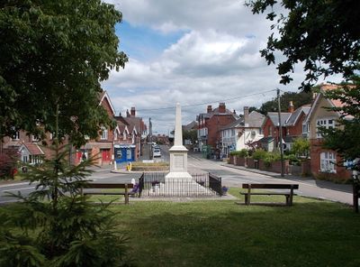
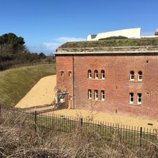
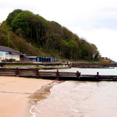
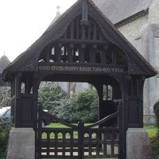
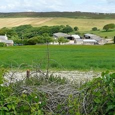
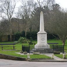
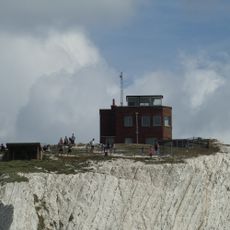
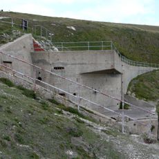
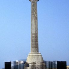
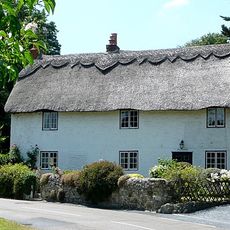
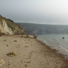
Totland, village, civil parish and electoral ward at the western tip of the Isle of Wight, in England, UK
Posizione: Isle of Wight
Sito web: https://totlandparishcouncil.org.uk
Coordinate GPS: 50.68492,-1.53658
Ultimo aggiornamento: 4 marzo 2025 alle 22:09
The Needles
4.5 km
Faro di Needles
4.6 km
Farringford House
1.4 km
The Needles Battery
4.2 km
Colwell Bay
537 m
Golden Hill Fort
1.2 km
Dimbola Lodge
1.8 km
Hatherwood Battery
2.6 km
West Wight Sports Centre
945 m
St. Agnes' Church, Freshwater
1.9 km
Warden Point Battery
555 m
Christ Church, Totland
1 km
Headon Warren and West High Down SSSI
2.8 km
Dimbola Museum And Galleries
2 km
Punto di vista panoramico
2.9 km
Totland Bay War Memorial
914 m
Lower Needles Point Battery
4.1 km
New Battery and High Down Test Site, The Needles
3.9 km
Tennyson's Beacon
2.1 km
Briary Lodge
1.2 km
Roman Catholic Church of Saviour, and the brick entrance walls
1 km
Old Needles Battery
4.1 km
New Needles Battery
3.9 km
Bowl barrow on West High Down, 150m north of Roe's Hall
3.2 km
Alum Bay Beach
2.9 km
Milestone, West High Down, below Newport Road from Freshwater to Calbourne
2.7 km
Milestone, Freshwater
1 km
Needles Viewpoint
4 kmRecensioni
Ha visitato questo luogo? Tocchi le stelle per valutarlo e condividere la Sua esperienza o foto con la community! Provalo ora! Puoi annullarlo in qualsiasi momento.
Scopri tesori nascosti ad ogni viaggio!
Da piccoli caffè caratteristici a panorami nascosti, fuggi dalla folla e scova i posti che fanno davvero per te. La nostra app ti semplifica tutto: ricerca vocale, filtri furbi, percorsi ottimizzati e dritte autentiche da viaggiatori di tutto il mondo. Scaricala subito per vivere l'avventura sul tuo smartphone!
Un nuovo approccio alla scoperta turistica❞
— Le Figaro
Tutti i luoghi che meritano di essere esplorati❞
— France Info
Un’escursione su misura in pochi clic❞
— 20 Minutes