
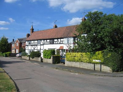
Aston Cantlow, village in United Kingdom
Posizione: Stratford-on-Avon
Confina con: Claverdon
Coordinate GPS: 52.23437,-1.79717
Ultimo aggiornamento: 6 marzo 2025 alle 18:54
Mary Arden's Farm
2.9 km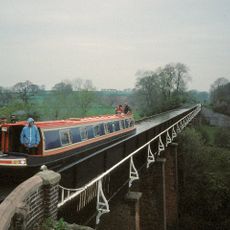
Edstone Aqueduct
2.6 km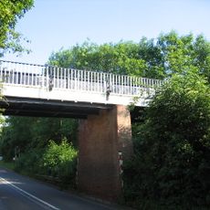
Wootton Wawen Aqueduct
3.9 km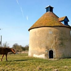
Kinwarton Dovecote
3.5 km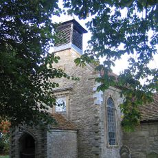
All Saints Church, Billesley
2.9 km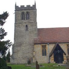
Church of St John the Baptist
326 m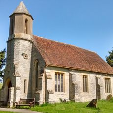
Church of St Mary Magdalene
2.2 km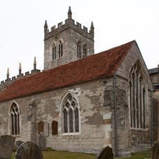
Church of St Peter, Wootton Wawen
3.9 km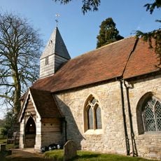
Church of St Mary the Virgin
3.6 km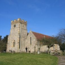
Church of St Mary and All Saints
2.3 km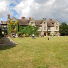
Billesley Manor Hotel
2.9 km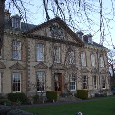
Wootton Hall
4.1 km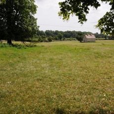
Dovecote Approximately 21 Metres East Of Billesley Manor Hotel At Sp 145 568
3 km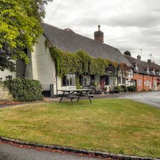
The King's Head Inn
338 m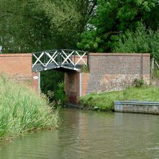
Canal Bridge Number 50
5.1 km
Austy Manor And Attached Walls And Piers
3.7 km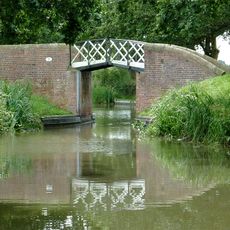
Canal Bridge Number 51
4.7 km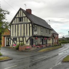
Guild Rooms The Porch
322 m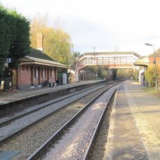
Footbridge at Wilmcote railway station
3.1 km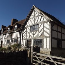
Palmers Farmhouse
2.9 km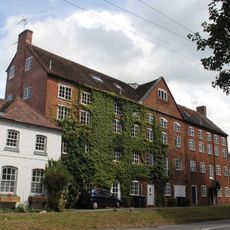
Wootton Mill
3.9 km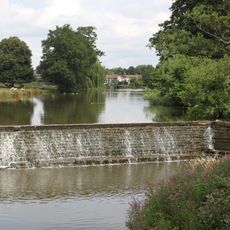
Weir To The Serpentine And River Alne Approximately 120 Metres South East Of Wootton Hall
3.9 km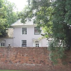
The Priory
3.9 km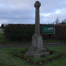
Wootton Wawen War Memorial
3.9 km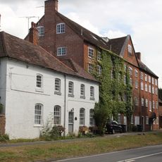
The Old School
3.9 km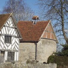
Dovecote Approximately 4 Metres East Of Palmers Farmhouse
2.9 km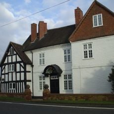
Manor Farmhouse
4.2 km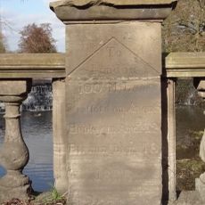
Milestone, Stratford Road, Wootton Bridge over Alne to S of village
3.9 kmRecensioni
Ha visitato questo luogo? Tocchi le stelle per valutarlo e condividere la Sua esperienza o foto con la community! Provalo ora! Puoi annullarlo in qualsiasi momento.
Scopri tesori nascosti ad ogni viaggio!
Da piccoli caffè caratteristici a panorami nascosti, fuggi dalla folla e scova i posti che fanno davvero per te. La nostra app ti semplifica tutto: ricerca vocale, filtri furbi, percorsi ottimizzati e dritte autentiche da viaggiatori di tutto il mondo. Scaricala subito per vivere l'avventura sul tuo smartphone!

Un nuovo approccio alla scoperta turistica❞
— Le Figaro
Tutti i luoghi che meritano di essere esplorati❞
— France Info
Un’escursione su misura in pochi clic❞
— 20 Minutes