
Trowell, village and civil parish in Nottinghamshire, England
Posizione: Broxtowe
Sito web: http://trowell.org.uk
Coordinate GPS: 52.95000,-1.28000
Ultimo aggiornamento: 13 marzo 2025 alle 00:10
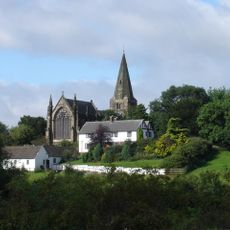
Church of St Giles
2.2 km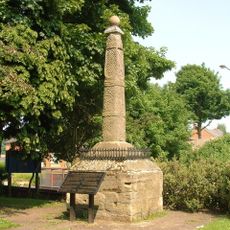
Stapleford Cross
2.1 km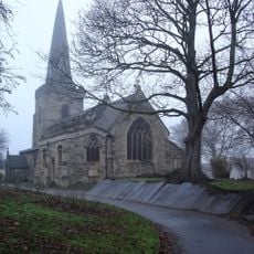
St. Helen's Church, Stapleford
2.1 km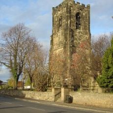
St Helen's Church, Trowell
353 m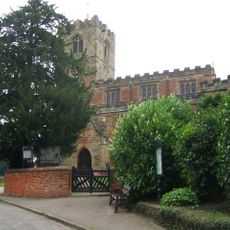
Church of All Saints
3.4 km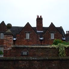
Willoughby Almshouses
2.9 km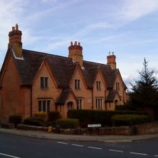
Frances Longden Almshouses
3 km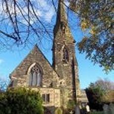
Church of St. Michael and All Angels, Bramcote
2.8 km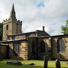
St Catherine's Church, Cossall
2.9 km
St. Luke's Church, Stapleford
1.1 km
St John the Baptist's Church
3.8 km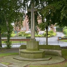
War Memorial South West of Cemetery Chapels
2.7 km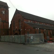
Tower Of St Bartholomews Church
873 m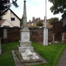
Cossall Waterloo Memorial
2.9 km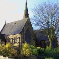
Park Cemetery Chapels, Ilkeston
2.7 km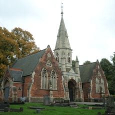
Cemetery Chapel And Mortuary
2.3 km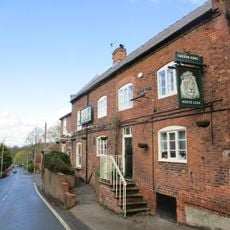
The White Lion
2.9 km
Stables At Strelley Hall And Adjoining Dairy Cottage And Gate Lodge
3.4 km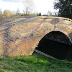
Potters Lock Bridge
2.4 km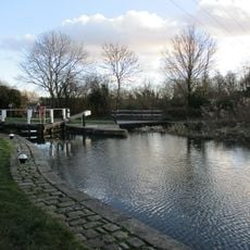
Potters Lock
2.5 km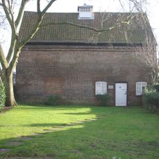
The Dovecote
3.8 km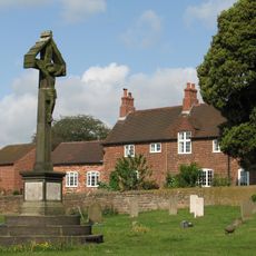
Strelley War Memorial
3.4 km
Sunken Church
3 km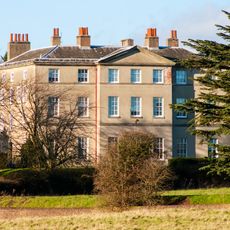
Strelley Hall
3.5 km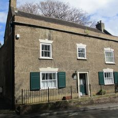
101, Town Street
3.1 km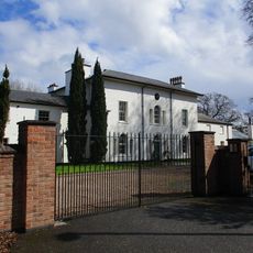
The Grange And Conservatory
3.1 km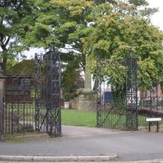
Gates And Gatepiers At Church Of St Helen
2.1 km
Moat and fishpond at Strelley, 240m SE of All Saints' Church
3.5 kmHa visitato questo luogo? Tocchi le stelle per valutarlo e condividere la Sua esperienza o foto con la community! Provalo ora! Puoi annullarlo in qualsiasi momento.
Scopri tesori nascosti ad ogni viaggio!
Da piccoli caffè caratteristici a panorami nascosti, fuggi dalla folla e scova i posti che fanno davvero per te. La nostra app ti semplifica tutto: ricerca vocale, filtri furbi, percorsi ottimizzati e dritte autentiche da viaggiatori di tutto il mondo. Scaricala subito per vivere l'avventura sul tuo smartphone!

Un nuovo approccio alla scoperta turistica❞
— Le Figaro
Tutti i luoghi che meritano di essere esplorati❞
— France Info
Un’escursione su misura in pochi clic❞
— 20 Minutes