
Drayton, village and civil parish in Vale of White Horse district, Oxfordshire, England
Posizione: Vale of White Horse
Confina con: East Hanney, Steventon, Milton, Sutton Courtenay, Abingdon-on-Thames, Marcham, St. Helen Without
Sito web: http://draytonvillage.co.uk
Coordinate GPS: 51.64700,-1.31300
Ultimo aggiornamento: 27 aprile 2025 alle 16:44
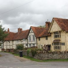
Priory Cottages
3.2 km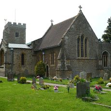
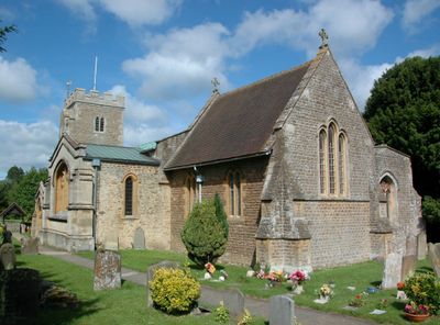
Church of Saint Peter
532 m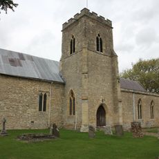
Church of St Michael and All Angels
3.3 km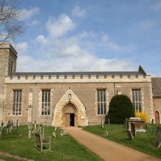
Church of All Saints, Marcham
3.4 km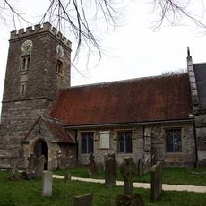
Church of St Blaise
2.2 km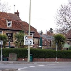
White Horse Public House
2.8 km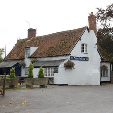
The North Star Public House
2.8 km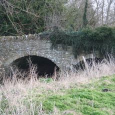
Bridge approximately 50 metres south east of Marcham Mill
2.1 km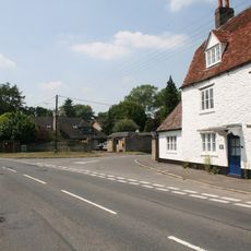
The White Hart Public House
3.1 km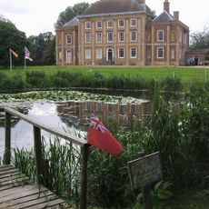
Milton Manor House
2.2 km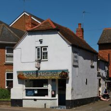
Reeves and Sons
2.8 km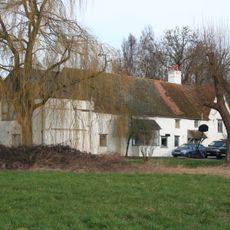
Marcham Mill
2.1 km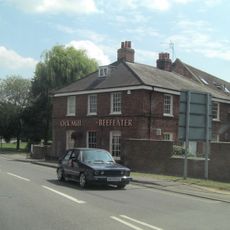
Ock Mill House
2.7 km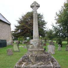
Churchyard Cross Approximately 10 Metres North Of Church Of St Michael And All Angels
3.3 km
Frilford Garford and Marcham War Memorial
3.1 km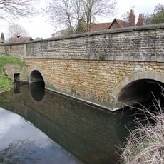
Ock Bridge
2.7 km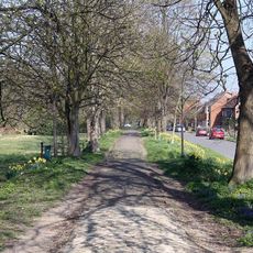
Raised Causeway
2.7 km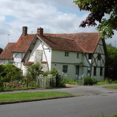
39, The Causeway
2.7 km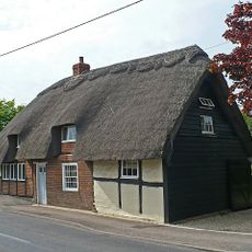
69, High Street
656 m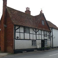
44, High Street
566 m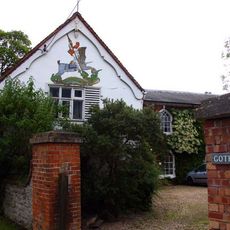
Number 15 And Attached Stable Block
405 m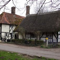
42a And 42b, High Street
2.3 km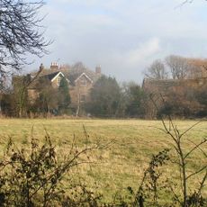
Marcham Priory
2.8 km
Raised Causeway
2.4 km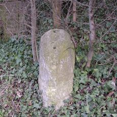
Milestone At Su 4791 9487
497 m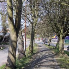
Raised Causeway
3 km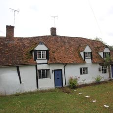
83 And 85, The Causeway
2.9 km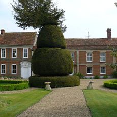
The Manor House
723 mHa visitato questo luogo? Tocchi le stelle per valutarlo e condividere la Sua esperienza o foto con la community! Provalo ora! Puoi annullarlo in qualsiasi momento.
Scopri tesori nascosti ad ogni viaggio!
Da piccoli caffè caratteristici a panorami nascosti, fuggi dalla folla e scova i posti che fanno davvero per te. La nostra app ti semplifica tutto: ricerca vocale, filtri furbi, percorsi ottimizzati e dritte autentiche da viaggiatori di tutto il mondo. Scaricala subito per vivere l'avventura sul tuo smartphone!

Un nuovo approccio alla scoperta turistica❞
— Le Figaro
Tutti i luoghi che meritano di essere esplorati❞
— France Info
Un’escursione su misura in pochi clic❞
— 20 Minutes