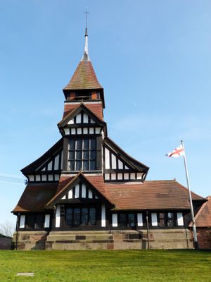
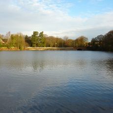
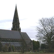
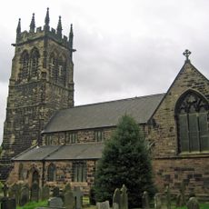
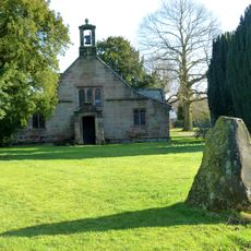
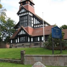
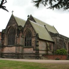
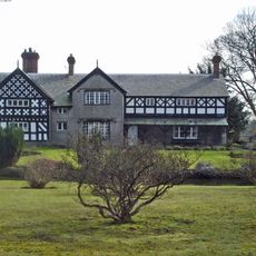
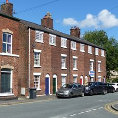
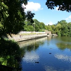
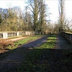
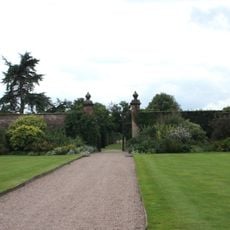
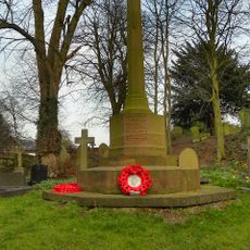
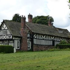
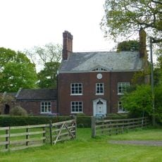
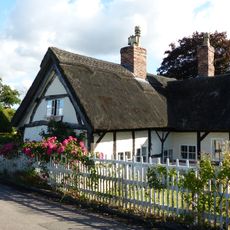
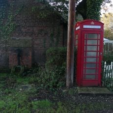
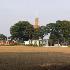
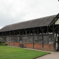
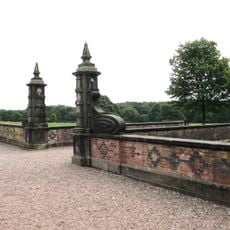
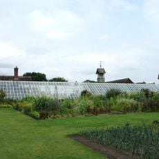
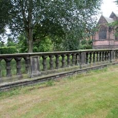
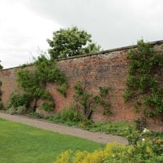
High Legh, village and civil parish in Cheshire East, Cheshire, UK
Posizione: Cheshire East
Confina con: Lymm, Agden, Millington, Mere, Aston by Budworth, Antrobus, Appleton
Coordinate GPS: 53.35200,-2.45100
Ultimo aggiornamento: 4 marzo 2025 alle 18:12
Arley Hall
4 km
Diga di Lymm
3.3 km
St Peter's Church, Oughtrington
3.2 km
St Mary's Church, Lymm
3.3 km
St Mary's Chapel, High Legh
67 m
St John's Church, High Legh
133 m
St Mary's Chapel, Arley
3.9 km
Swineyard Hall
2.3 km
11, 13, 15, 17 And 19, Church Road
3.8 km
Bridge over outfall and spillway, Lymm Dam
3.5 km
Crossfield Bridge, Lymm
3.2 km
Western walled garden at Arley Hall
4.1 km
Sundial to south forecourt at Arley Hall
4 km
Lymm War Memorial
3.4 km
Arley Green School and Arley Green Lodge
3.7 km
The Old Parsonage
3.7 km
Ovenback Cottage
1.9 km
K6 Telephone Kiosk
4.3 km
Lymm Water Tower
3 km
Cruck Barn approx. 100 yards to west of Arley Hall
4 km
Forecourt walls and gate piers before at Arley Hall (south front)
4 km
Garden seat to south west of Arley Hall
4.2 km
Lodge to Lymm Grammar School
2.8 km
Tudor Barn approx. 100 yards to west of Arley Hall
4 km
Stocks at Lymm Cross
3.7 km
Forcing Wall and Green house in eastern walled garden at Arley Hall
4.1 km
Balustrade before east front of Arley Hall
3.9 km
Eastern walled garden at Arley Hall
4.1 kmRecensioni
Ha visitato questo luogo? Tocchi le stelle per valutarlo e condividere la Sua esperienza o foto con la community! Provalo ora! Puoi annullarlo in qualsiasi momento.
Scopri tesori nascosti ad ogni viaggio!
Da piccoli caffè caratteristici a panorami nascosti, fuggi dalla folla e scova i posti che fanno davvero per te. La nostra app ti semplifica tutto: ricerca vocale, filtri furbi, percorsi ottimizzati e dritte autentiche da viaggiatori di tutto il mondo. Scaricala subito per vivere l'avventura sul tuo smartphone!
Un nuovo approccio alla scoperta turistica❞
— Le Figaro
Tutti i luoghi che meritano di essere esplorati❞
— France Info
Un’escursione su misura in pochi clic❞
— 20 Minutes