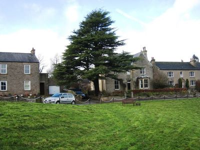
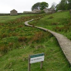
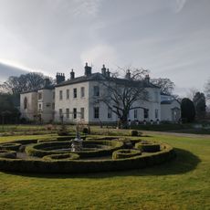
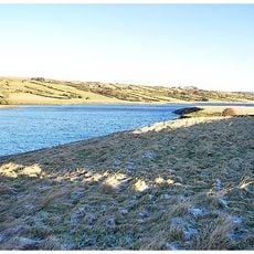
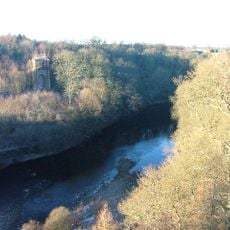
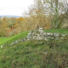
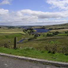
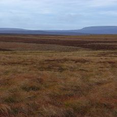
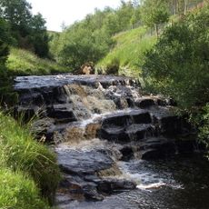
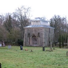
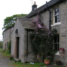
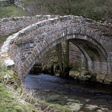
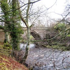
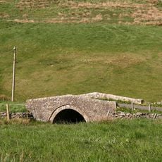
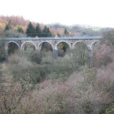
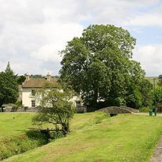
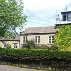
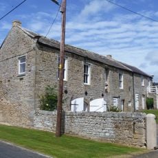
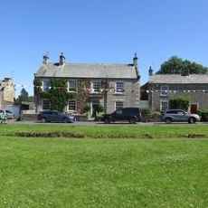
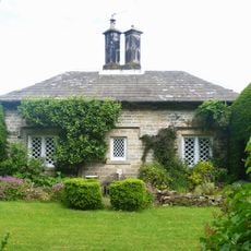
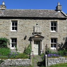
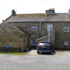
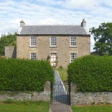
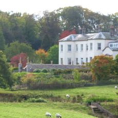
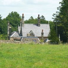
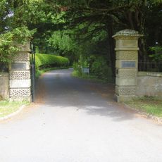
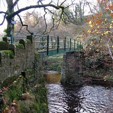
Cotherstone, village and civil parish in County Durham, UK
Posizione: County Durham
Coordinate GPS: 54.57254,-1.98320
Ultimo aggiornamento: 9 marzo 2025 alle 05:26
Hannah's Meadows
7.7 km
Lartington Hall
2.2 km
Hury Reservoir
5 km
Balderhead Reservoir
9.2 km
Tees railway viaduct
3.5 km
Cotherstone Castle
433 m
Blackton Reservoir
7.1 km
Cotherstone Moor
7.6 km
Hunder Beck Juniper
8.1 km
Mausoleum/Mortuary Chapel 90 Metres North Of Yew Trees
2 km
Clove Lodge Farmhouse, Byre/Stables Attached To West And Range Of Sheds Attached To East
7.8 km
Nabb Bridge, 160 Metres West Of Nabb House
4.3 km
Balder Bridge
426 m
Road Bridge, 400 Metres West Of Town Head Farmhouse, On Road To Mickleton
3.5 km
Balder Viaduct
1.7 km
Brook Lea House (Shown On Os Map As Brook House)
240 m
Tower House
2.1 km
Outbuilding, 20 Metres West Of The Grove
2 km
The Grove
2 km
The Green And Front Garden Wall
285 m
The Nook
2.1 km
Hallgarth Hill House
254 m
Pecknell Farmhouse
2.6 km
The Beeches
2 km
Garden Wall, With Statues And 2 Sets Of Gate Piers, Adjoining To East Of Lartington Hall
2.2 km
The Woodlands
2 km
Gate Piers, End Piers, Gate And Linking Walls At Entrance To Lartington Squash Club
2.2 km
Footbridge over the River Balder
418 mHa visitato questo luogo? Tocchi le stelle per valutarlo e condividere la Sua esperienza o foto con la community! Provalo ora! Puoi annullarlo in qualsiasi momento.
Scopri tesori nascosti ad ogni viaggio!
Da piccoli caffè caratteristici a panorami nascosti, fuggi dalla folla e scova i posti che fanno davvero per te. La nostra app ti semplifica tutto: ricerca vocale, filtri furbi, percorsi ottimizzati e dritte autentiche da viaggiatori di tutto il mondo. Scaricala subito per vivere l'avventura sul tuo smartphone!
Un nuovo approccio alla scoperta turistica❞
— Le Figaro
Tutti i luoghi che meritano di essere esplorati❞
— France Info
Un’escursione su misura in pochi clic❞
— 20 Minutes