
Flagg, village and civil parish in Derbyshire Dales district, Derbyshire, England
Posizione: Derbyshire Dales
Coordinate GPS: 53.21377,-1.80023
Ultimo aggiornamento: 3 marzo 2025 alle 21:45
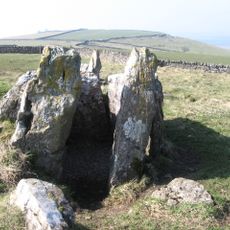
Five Wells
2.7 km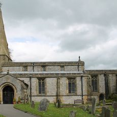
Church of St Michael
2.7 km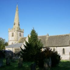
Church of St Leonard
2.7 km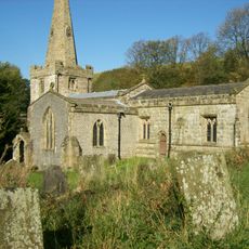
Church of St John the Baptist
2.6 km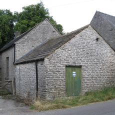
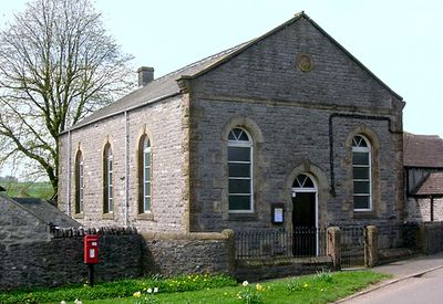
Quaker Chapel
2.4 km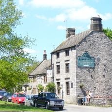
The Bull's Head Public House
2.5 km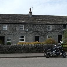
Post office, house and dairy
2.5 km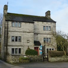
Sheldon House
2.4 km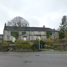
Old Hall Cottages
2.7 km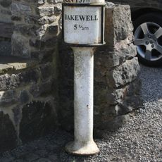
Milepost at OS 143 711
2.7 km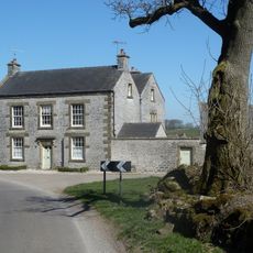
Manor House Farmhouse
2.8 km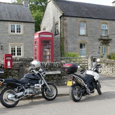
K6 Telephone Kiosk
2.5 km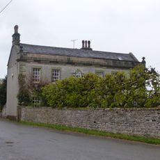
The Hall
2.7 km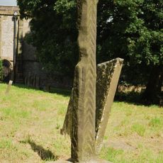
Standing cross in the churchyard of St Michael and All Angels
2.7 km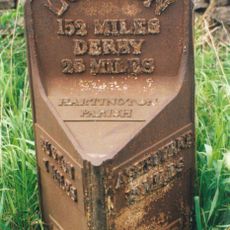
Mile Post 34 Metres North-West Of Middle Street Farm At Ngr Sk 136 653
3.3 km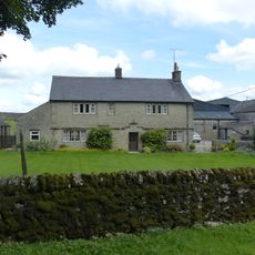
Hurdlow Hall and attached garden wall and gates
2.5 km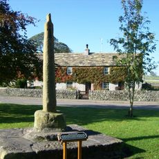
Village Cross
2.5 km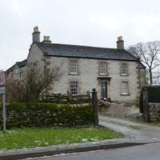
Chandlers
2.6 km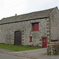
Barn to east of Townend Farmhouse
2.6 km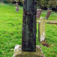
Churchyard cross 10 metres south of south transept of church
2.5 km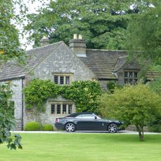
Old Farmhouse, Town Head Farm
729 m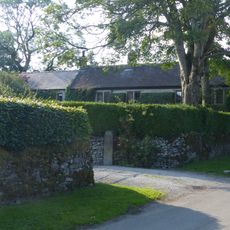
Townend Farmhouse
2.3 km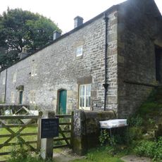
Hurdlow Manor and attached barn
2.4 km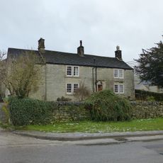
Mere Farmhouse and outbuilding
2.6 km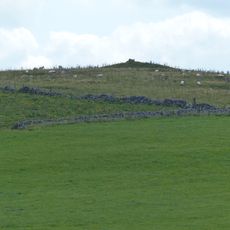
Cronkston Low bowl barrow
2.8 km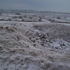
Two bowl barrows on Chelmorton Low
2.9 km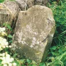
Milestone, Pomeroy
1.9 km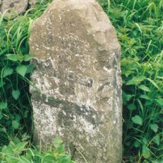
Milestone, Great Low, Sterndale Moor
3.1 kmHa visitato questo luogo? Tocchi le stelle per valutarlo e condividere la Sua esperienza o foto con la community! Provalo ora! Puoi annullarlo in qualsiasi momento.
Scopri tesori nascosti ad ogni viaggio!
Da piccoli caffè caratteristici a panorami nascosti, fuggi dalla folla e scova i posti che fanno davvero per te. La nostra app ti semplifica tutto: ricerca vocale, filtri furbi, percorsi ottimizzati e dritte autentiche da viaggiatori di tutto il mondo. Scaricala subito per vivere l'avventura sul tuo smartphone!

Un nuovo approccio alla scoperta turistica❞
— Le Figaro
Tutti i luoghi che meritano di essere esplorati❞
— France Info
Un’escursione su misura in pochi clic❞
— 20 Minutes