Attiva posizione

Abbiamo bisogno della tua posizione per mostrarti luoghi interessanti intorno a te

Scopri luoghi nelle vicinanze

Trova luoghi interessanti e gemme nascoste intorno a te

Indicazioni precise

Ottieni indicazioni precise e distanze verso i luoghi

La tua posizione non viene mai condivisa con altri utenti. Viene utilizzata solo quando tocchi il pulsante posizione.

Weston-on-the-Green

Accedi al tuo account

Inizia a esplorare — è gratis

Scelto da 61.881 viaggiatori nel mondo

Continua con Google
Continua con Apple
o

Ti invieremo un codice per connetterti

Continuando, accetti i nostri Termini e Condizioni e la nostra Informativa sulla Privacy

Controlla la tua casella di posta

Abbiamo inviato un codice PIN nella tua casella di posta. Inserisci il codice qui sotto.

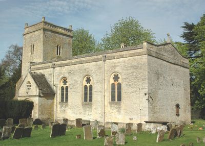
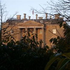
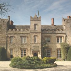
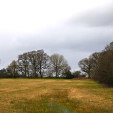
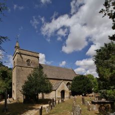
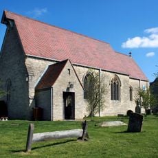
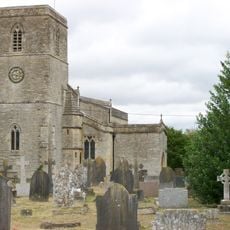
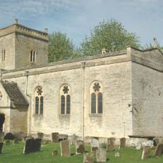
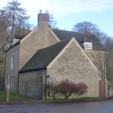
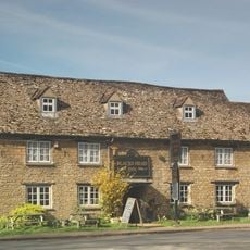
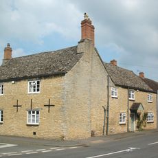
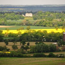
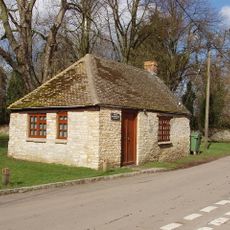
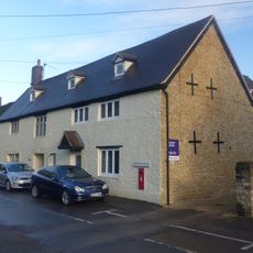
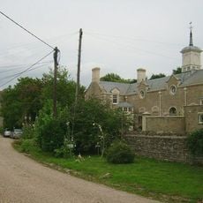
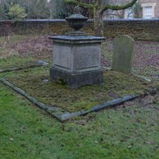
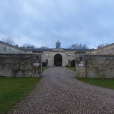
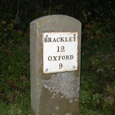
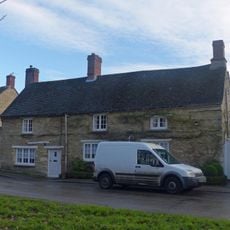
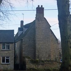
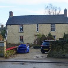
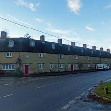
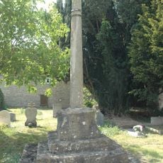
Weston-on-the-Green, village and civil parish in Cherwell district, Oxfordshire, England

La comunità dei viaggiatori curiosi

AroundUs riunisce migliaia di luoghi selezionati, consigli locali e gemme nascoste, arricchiti ogni giorno da oltre 60,000 contributori in tutto il mondo.

Inizia a esplorare
Posizione
Confina con
Chesterton, Kirtlington, Bletchingdon, Oddington, Charlton-on-Otmoor, Wendlebury, Islip
Coordinate GPS
51.86400,-1.22600
Ultimo aggiornamento
3 marzo 2025 alle 19:20
Intorno a questo luogo
Bletchingdon Park
Regno Unito

Bletchingdon Park

2.9 km
The Manor Country House Hotel
Regno Unito

The Manor Country House Hotel

213 m
Wendlebury Meads and Mansmoor Closes
Regno Unito

Wendlebury Meads and Mansmoor Closes

3.1 km
Woodsides Meadow
Regno Unito

Woodsides Meadow

2.4 km
Church of St Giles, Bletchingdon
Regno Unito

Church of St Giles, Bletchingdon

2.8 km
Church of St Giles
Regno Unito

Church of St Giles

2.7 km
Church of St Mary, Chesterton
Regno Unito

Church of St Mary, Chesterton

3.9 km
Church of St Mary the Virgin
Regno Unito

Church of St Mary the Virgin

4 km
Church of St Mary
Regno Unito

Church of St Mary

295 m
Park Gate House
Regno Unito

Park Gate House

3 km
The Blacks Head Public House
Regno Unito

The Blacks Head Public House

3.4 km
Old Red Lion
Regno Unito

Old Red Lion

3.3 km
Kirtlington Park
Regno Unito

Kirtlington Park

2.8 km
Squirrel's Drey
Regno Unito

Squirrel's Drey

3.3 km
The Post Office Stores
Regno Unito

The Post Office Stores

3.3 km
Chesterton Lodge Including Forecourt Balustrade Immediately West
Regno Unito

Chesterton Lodge Including Forecourt Balustrade Immediately West

3.8 km
Chest tomb approximately 6 metres east of chancel of Church of St Giles
Regno Unito

Chest tomb approximately 6 metres east of chancel of Church of St Giles

2.8 km
Bletchingdon Park, stables and attached walls approximately 150 metres east north east of Bletchingdon Park
Regno Unito

Bletchingdon Park, stables and attached walls approximately 150 metres east north east of Bletchingdon Park

2.8 km
Milestone Approximately 100 Metres North Of Junction With North Lane
Regno Unito

Milestone Approximately 100 Metres North Of Junction With North Lane

417 m
Monk's Head
Regno Unito

Monk's Head

3.2 km
Village Farmhouse
Regno Unito

Village Farmhouse

3.2 km
The Malt House
Regno Unito

The Malt House

3.2 km
The Row
Regno Unito

The Row

3.3 km
Churchyard Cross Approximately 5 Metres South West Of Church Of St Mary The Virgin
Regno Unito

Churchyard Cross Approximately 5 Metres South West Of Church Of St Mary The Virgin

4 km
Milestone, Church Road; end of drive to Church Road House
Regno Unito

Milestone, Church Road; end of drive to Church Road House

2.7 km
Milestone, by Church, on lane by Bletchingdon Park, in front of wall around church
Regno Unito

Milestone, by Church, on lane by Bletchingdon Park, in front of wall around church

2.8 km
Milestone, Islip Road; between Diamond Farm and Bletchingdon
Regno Unito

Milestone, Islip Road; between Diamond Farm and Bletchingdon

2.9 km
Milestone, S end of village 30m E of sharp bend, by village Hall
Regno Unito

Milestone, S end of village 30m E of sharp bend, by village Hall

2.7 km
Mostra la mappa completa
« Weston-on-the-Green - village and civil parish in Cherwell district, Oxfordshire, England » è fornito da Around Us (it.aroundus.com). Le immagini e i testi sono tratti dal progetto Wikimedia con licenza Creative Commons. È possibile copiare, distribuire e modificare copie di questa pagina, alle condizioni stabilite dalla licenza, a condizione che questa nota sia chiaramente visibile.

Scopri tesori nascosti ad ogni viaggio!

Da piccoli caffè caratteristici a panorami nascosti, fuggi dalla folla e scova i posti che fanno davvero per te. La nostra app ti semplifica tutto: ricerca vocale, filtri furbi, percorsi ottimizzati e dritte autentiche da viaggiatori di tutto il mondo. Scaricala subito per vivere l'avventura sul tuo smartphone!

Around Us App Screenshot

Un nuovo approccio alla scoperta turistica

Le Figaro

Tutti i luoghi che meritano di essere esplorati

France Info

Un’escursione su misura in pochi clic

20 Minutes

Around Us
Guida di viaggio e mappe
Scarica

Invia al tuo telefono

QR Code
1

Apri l'app fotocamera sul tuo cellulare.

2

Inquadra il codice QR con la fotocamera. Apparirà una notifica.

3

Tocca la notifica per aprire il link.