East Donyland, village and civil parish in Colchester, Essex, England
Posizione: Colchester
Coordinate GPS: 51.85144,0.94902
Ultimo aggiornamento: 2 aprile 2025 alle 15:25
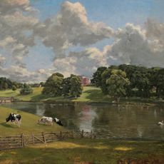
Wivenhoe Park
3 km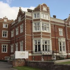
Wivenhoe House
3 km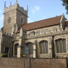
Church of St Leonard at the Hythe, Colchester
4.1 km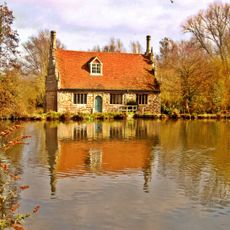
Bourne Mill
3.8 km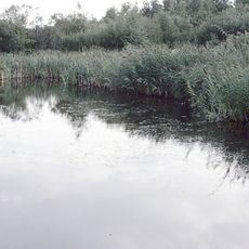
Fingringhoe Wick
2.4 km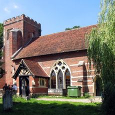
St Michael's Church, Berechurch
4 km
Roman River SSSI
3.7 km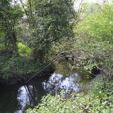
Salary Brook Local Nature Reserve
3.8 km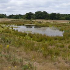
Cockaynes Wood
2.3 km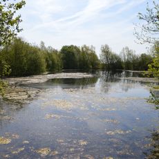
Wivenhoe Gravel Pit
3 km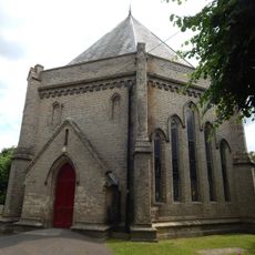
Church of St Lawrence
506 m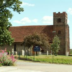
Church of St Andrew
4.1 km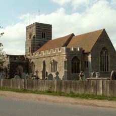
Church of St Andrew
743 m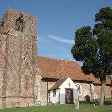
Church of St Andrew
3.8 km
Garrison Church
4.3 km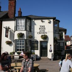
The Rose And Crown Public House
767 m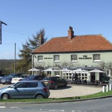
Whalebone Public House
809 m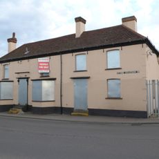
The Rising Sun Public House
4 km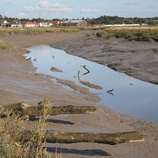
Upper Colne Marshes
1.4 km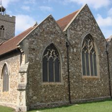
The Church of St Mary
814 m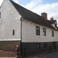
Old Garrison House
781 m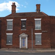
100, Hythe Hill
4 km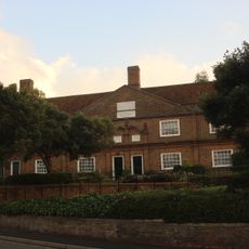
Winnock's Almshouses
4.8 km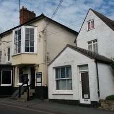
The Greyhound Public House
911 m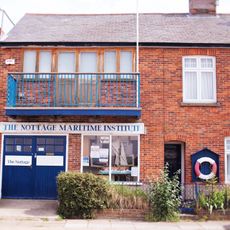
The Nottage
747 m
27, West Street
765 m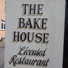
The Old Bakehouse
772 m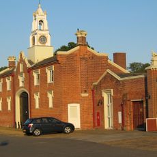
Wivenhoe Park, Stable Block
3 kmHa visitato questo luogo? Tocchi le stelle per valutarlo e condividere la Sua esperienza o foto con la community! Provalo ora! Puoi annullarlo in qualsiasi momento.
Scopri tesori nascosti ad ogni viaggio!
Da piccoli caffè caratteristici a panorami nascosti, fuggi dalla folla e scova i posti che fanno davvero per te. La nostra app ti semplifica tutto: ricerca vocale, filtri furbi, percorsi ottimizzati e dritte autentiche da viaggiatori di tutto il mondo. Scaricala subito per vivere l'avventura sul tuo smartphone!

Un nuovo approccio alla scoperta turistica❞
— Le Figaro
Tutti i luoghi che meritano di essere esplorati❞
— France Info
Un’escursione su misura in pochi clic❞
— 20 Minutes