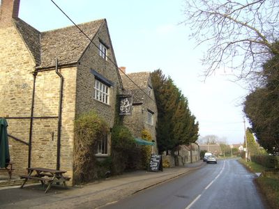
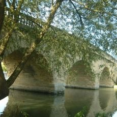
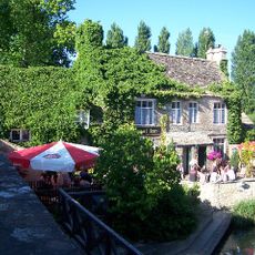
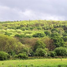
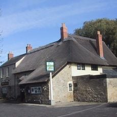
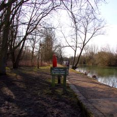
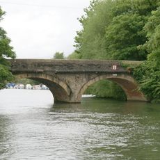
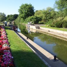
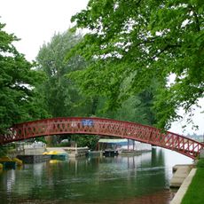
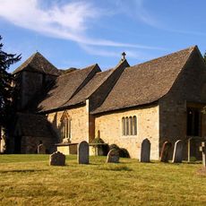
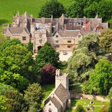
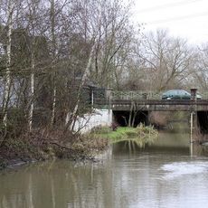
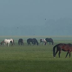
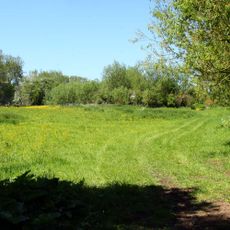
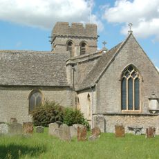
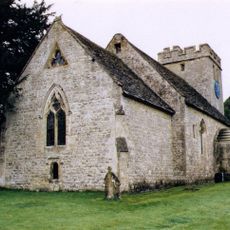
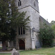
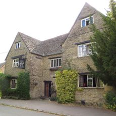
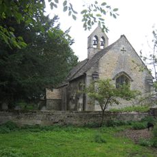
Cumnor, village and civil parish in Vale of White Horse district, Oxfordshire, England
Posizione: Vale of White Horse
Confina con: Cassington, Eynsham, Stanton Harcourt, Northmoor, Besselsleigh, Wootton, Appleton-with-Eaton, Sunningwell, South Hinksey, North Hinksey, Wytham
Coordinate GPS: 51.73500,-1.33200
Ultimo aggiornamento: 7 marzo 2025 alle 06:56
Swinford Toll Bridge
4.8 km
The Trout Inn
5.5 km
Farmoor Reservoir
2 km
Wytham Woods
3.8 km
The Perch
4.6 km
Fiddler's Island
4.8 km
Godstow Bridge
5.4 km
Pinkhill Lock
3.5 km
Godstow Lock
5.2 km
Medley Footbridge
4.8 km
A34 Road Bridge
5.5 km
Burgess Field Nature Park
5.7 km
Church of St Lawrence
3.5 km
Wytham Abbey And Attached Wall
4.4 km
Eynsham Lock
4.7 km
Bulstake Bridge
4 km
Botley Bridge
3.5 km
Port Meadow with Wolvercote Common and Green
5.3 km
Wolvercote Meadows
5.8 km
Church of St Michael
137 m
Church of All Saints
4.5 km
Church of St Peter
6.6 km
Bear And Ragged Staff Inn
349 m
Church of St Margaret
4.5 km
St Margaret's Well
4.5 km
The Talbot Public House And Attached Stable
5.2 km
The White Hart Public House
6.1 km
St Mary's Church
3 kmHa visitato questo luogo? Tocchi le stelle per valutarlo e condividere la Sua esperienza o foto con la community! Provalo ora! Puoi annullarlo in qualsiasi momento.
Scopri tesori nascosti ad ogni viaggio!
Da piccoli caffè caratteristici a panorami nascosti, fuggi dalla folla e scova i posti che fanno davvero per te. La nostra app ti semplifica tutto: ricerca vocale, filtri furbi, percorsi ottimizzati e dritte autentiche da viaggiatori di tutto il mondo. Scaricala subito per vivere l'avventura sul tuo smartphone!
Un nuovo approccio alla scoperta turistica❞
— Le Figaro
Tutti i luoghi che meritano di essere esplorati❞
— France Info
Un’escursione su misura in pochi clic❞
— 20 Minutes