
Bury, village and civil parish in West Sussex, UK
Posizione: Chichester
Coordinate GPS: 50.90939,-0.56332
Ultimo aggiornamento: 3 marzo 2025 alle 02:47
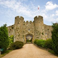
Castello di Amberley
1.6 km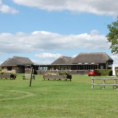
Villa romana di Bignor
2.7 km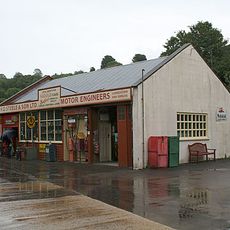
Amberley Museum and Heritage Centre
2.1 km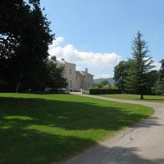
Bignor Park
3.1 km
Amberley Castle
1.6 km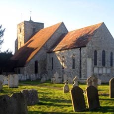
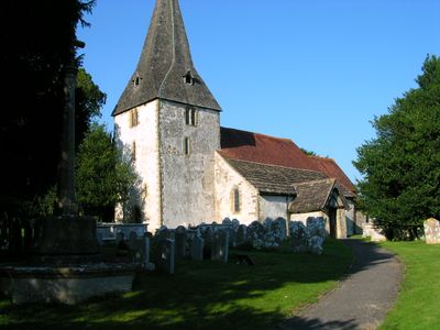
The Parish Church of St Michael and All Angels
1.7 km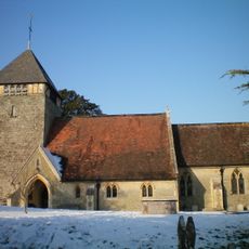
The Parish Church of St Giles
3.6 km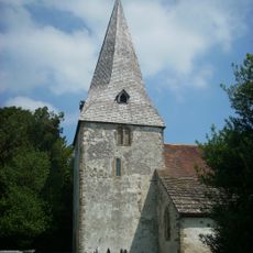
The Parish Church of St John the Evangelist
566 m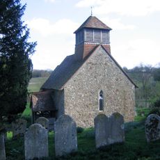
Church of St Agatha
4.8 km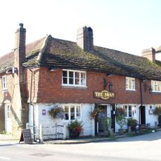
The Swan Hotel
5.3 km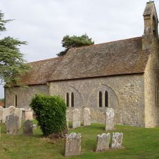
The Parish Church of St Mary
4.8 km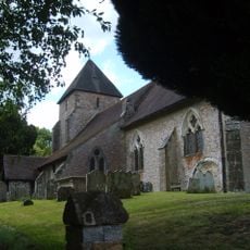
The Parish Church of St John the Baptist
4 km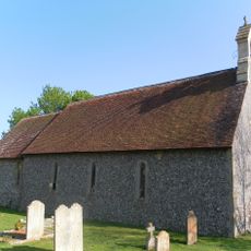
The Parish Church of St Nicholas
1.9 km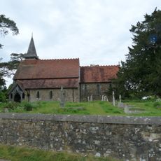
The Parish Church of the Holy Cross
3.2 km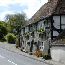
The George And Dragon Inn
1.8 km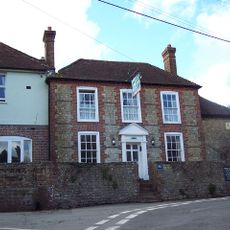
The White Horse Inn
3.8 km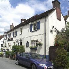
The Black Horse Inn
2.1 km
Prattendens
285 m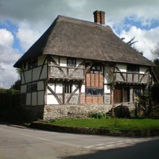
The Yeoman's House
3 km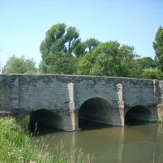
Lower Fittleworth South Bridge
5.1 km
Fittleworth Bridge, North And South
5.2 km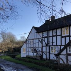
Fogdens
1.6 km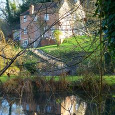
Bignor Mill
3.3 km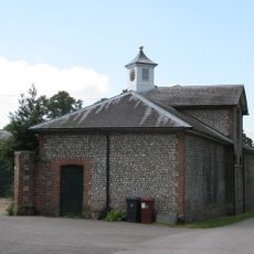
The Stables of Bignor Park to the north-west of the house
3.1 km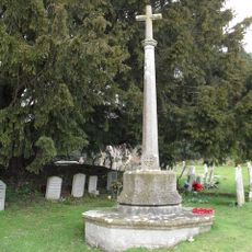
Bury War Memorial, West Sussex
529 m
Timberley Viaduct
1.3 km
Hardham Priory Farmhouse
4.5 km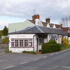
The Turnpike
2 kmHa visitato questo luogo? Tocchi le stelle per valutarlo e condividere la Sua esperienza o foto con la community! Provalo ora! Puoi annullarlo in qualsiasi momento.
Scopri tesori nascosti ad ogni viaggio!
Da piccoli caffè caratteristici a panorami nascosti, fuggi dalla folla e scova i posti che fanno davvero per te. La nostra app ti semplifica tutto: ricerca vocale, filtri furbi, percorsi ottimizzati e dritte autentiche da viaggiatori di tutto il mondo. Scaricala subito per vivere l'avventura sul tuo smartphone!

Un nuovo approccio alla scoperta turistica❞
— Le Figaro
Tutti i luoghi che meritano di essere esplorati❞
— France Info
Un’escursione su misura in pochi clic❞
— 20 Minutes