
Aston Tirrold, village and civil parish in South Oxfordshire district, South Oxfordshire, England
Posizione: South Oxfordshire
Confina con: Aston Upthorpe, Cholsey, South Moreton
Sito web: http://theastons.net
Coordinate GPS: 51.57000,-1.19800
Ultimo aggiornamento: 3 marzo 2025 alle 00:52
Blewburton Hill
1 km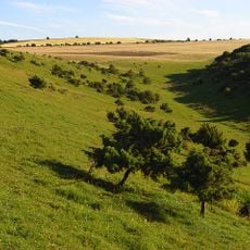
Aston Upthorpe Downs
2.8 km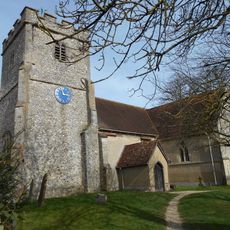
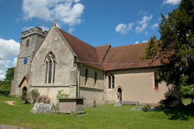
Church of St Michael
92 m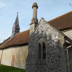
Church of All Saints
433 m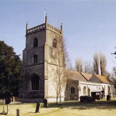
Church of St Michael
2.5 km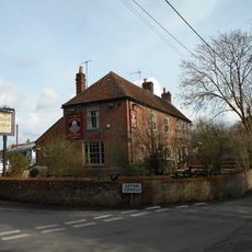
The Chequers Inn Public House
295 m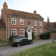
Malthus Schoolhouse
2.6 km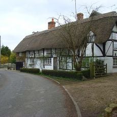
Dragonwyke And Winding Way Cottage
2.3 km
The Manor House
93 m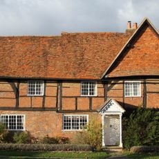
Turnpike House
2.5 km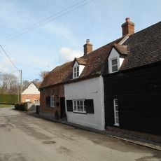
9, Aston Street
84 m
Clunch Wall approximately 35 metres East of Orchrd Dene House, at junction with South Street
2.3 km
Edlins
495 m
Great Tree and Ilburys
2.7 km
3, Treble House Terrace
2.6 km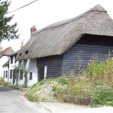
The Old Bakehouse
208 m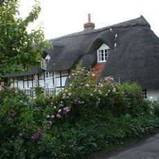
Stocks
2.7 km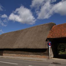
Great Tree Farm Barn And Attached Covered Gateway
2.7 km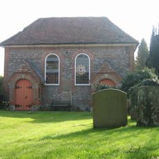
United Reform Church And Vestry
278 m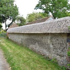
Cob Wall approximately 20 metres south west of numbers 1 and 2 Aston Street
61 m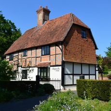
Nottingham Fee House
2.7 km
The Manse
212 m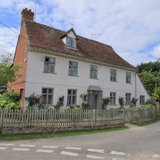
Crossways
50 m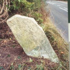
Milestone Su 5563 8525
738 m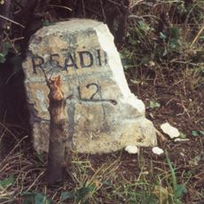
Milestone At Su 5685 8425
2.1 km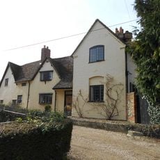
Thorpe Farmhouse And Barn
451 m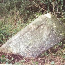
Milestone, Moulsford Bottom, where hill rises to E
3.6 km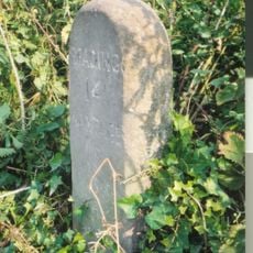
Milestone, Blewbury Hill; W of Blewbury Farm, Baldon Hill
1.7 kmHa visitato questo luogo? Tocchi le stelle per valutarlo e condividere la Sua esperienza o foto con la community! Provalo ora! Puoi annullarlo in qualsiasi momento.
Scopri tesori nascosti ad ogni viaggio!
Da piccoli caffè caratteristici a panorami nascosti, fuggi dalla folla e scova i posti che fanno davvero per te. La nostra app ti semplifica tutto: ricerca vocale, filtri furbi, percorsi ottimizzati e dritte autentiche da viaggiatori di tutto il mondo. Scaricala subito per vivere l'avventura sul tuo smartphone!

Un nuovo approccio alla scoperta turistica❞
— Le Figaro
Tutti i luoghi che meritano di essere esplorati❞
— France Info
Un’escursione su misura in pochi clic❞
— 20 Minutes