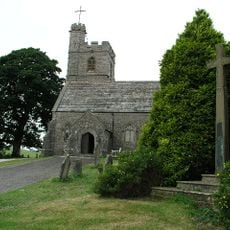
St Patrick's Church, Preston Patrick
1.2 km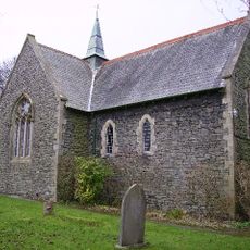
St Thomas' Church, Crosscrake
2.6 km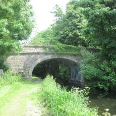
Field End Bridge Over Kendal Lancaster Canal Ngr 5259 8499
677 m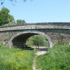
Stainton Crossing Bridge Over Kendal Lancaster Canal Ngr 5205 8543
1.4 km
Old Hall Bridge Over Kendal Lancaster Canal Near Crooklands Ngr 5289 8382
785 m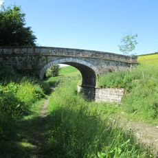
Lancaster Kendal Canal, Sellet Hall Bridge Over Lancaster/Kendal Canal
1.6 km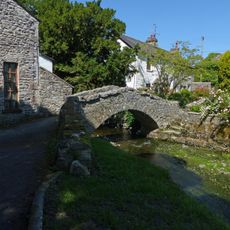
Packhorse bridge at Stainton
1.5 km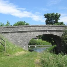
Dovehouses Bridge Over Kendal/Lancaster Canal
2.8 km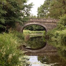
Kendal Lancaster Canal Mattinsons Bridge Ngr 5248 8395 Near Lane Farm Crooklands
892 m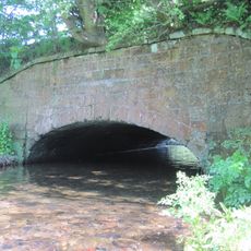
Aqueduct Carrying Kendal/Lancaster Canal Over Farleton Beck
3 km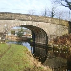
Millness Bridge Over Kendal/Lancaster Canal
1.6 km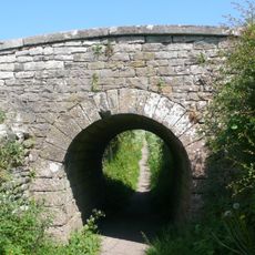
Accommodation Bridge Over Sunken Horse Path 100 Yds East-South-East Of West Portal Of Hincaster Tunnel
2.2 km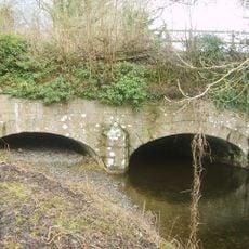
Aqueduct Carrying Kendal/Lancaster Canal Over Peasy Beck
1.2 km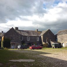
Preston Patrick Hall
1.5 km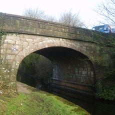
Seven Milestone Bridge Over Kendal/Lancaster Canal
2.1 km
Milestone On Kendal/Lancaster Canal Approximately 90 Metres South Of Dovehouses Bridge
2.9 km
West Portal To Hincaster Tunnel
2.3 km
Milestone Approximately 75 Metres North Of Summerdale House
2.9 km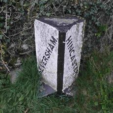
Boundary Stone At The Junction Off White Lane With The Woodhouse To Viver Road Approximately 300 Yards North Of Woodhouse
2.1 km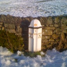
Milestone Approximately 150 Yards North West Of Strorth End Farmhouse Near Half Penny Turn Off
2.5 km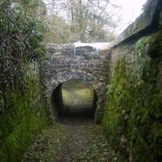
Railway Arch Over Sunken Horse Path And Retaining Walls To South West Of East Portal In Hincaster Tunnel
2 km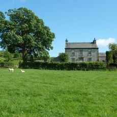
Spout House Farmhouse
3.3 km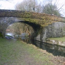
Stainton Bridge End Bridge Over Kendal Lancaster Canal Ngr 5242 8526
1 km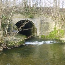
Stainton Aqueduct carrying Kendal/Lancaster Canal over Stainton Beck and public footpath NGR5226 8542
1.2 km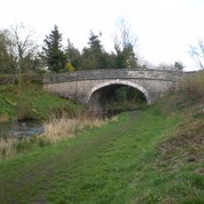
Crooklands Bridge Over Kendal Lancaster Canal Ngr 5339 8358
1 km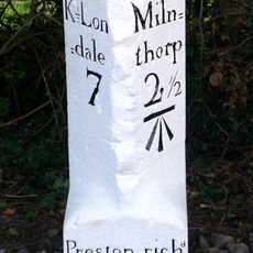
Milestone Approximately 200 Yards South West Of Lane Farm
1.3 km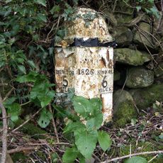
Milestone 100 Yards South Of South Lodge
546 m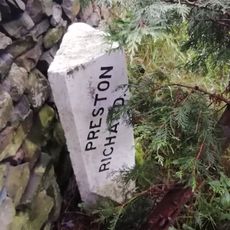
Boundary Stone Approximately 30 Yards North West Of Storth End Farmhouse Near Summerlands
2.4 kmHa visitato questo luogo? Tocchi le stelle per valutarlo e condividere la Sua esperienza o foto con la community! Provalo ora! Puoi annullarlo in qualsiasi momento.
Scopri tesori nascosti ad ogni viaggio!
Da piccoli caffè caratteristici a panorami nascosti, fuggi dalla folla e scova i posti che fanno davvero per te. La nostra app ti semplifica tutto: ricerca vocale, filtri furbi, percorsi ottimizzati e dritte autentiche da viaggiatori di tutto il mondo. Scaricala subito per vivere l'avventura sul tuo smartphone!

Un nuovo approccio alla scoperta turistica❞
— Le Figaro
Tutti i luoghi che meritano di essere esplorati❞
— France Info
Un’escursione su misura in pochi clic❞
— 20 Minutes