
Croston, village and civil parish in Lancashire, England
Posizione: Chorley
Confina con: Midge Hall
Coordinate GPS: 53.66253,-2.77707
Ultimo aggiornamento: 6 marzo 2025 alle 12:46
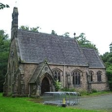
Roman Catholic Church of the Holy Cross
851 m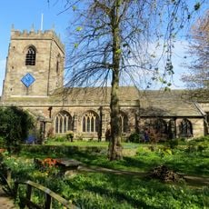
Church of St Michael
428 m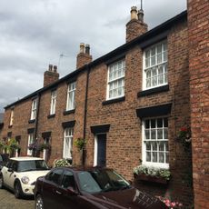
4, 6, 8 and 10, Church Street
381 m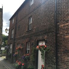
13 and 15, Church Street
381 m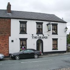
The Grapes Hotel
341 m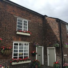
1, Church Street
348 m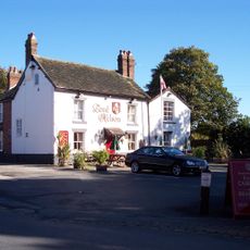
The Lord Nelson Public House
237 m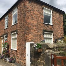
16, Church Street
395 m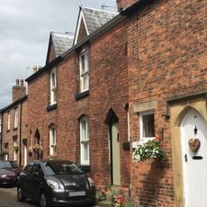
12 and 14, Church Street
386 m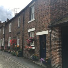
3, 5, 7, 9 and 11, Church Street
363 m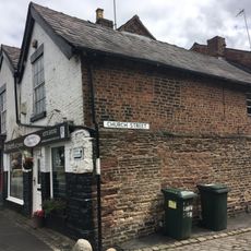
66 and 68 Town Road including 2 Church Street
368 m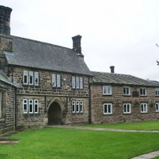
School in churchyard of Church of St Michael
405 m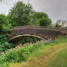
Croston Mill Bridge
1.3 km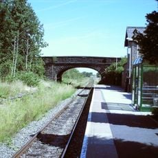
Croston Station Bridge
585 m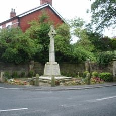
Croston War Memorial
472 m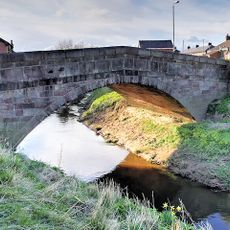
Fishery Bridge
352 m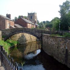
Croston Town Bridge
336 m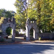
Gateway To Croston Rectory
464 m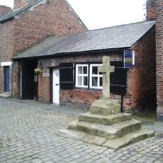
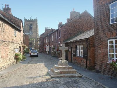
Cross In Church Street Opposite The Smithy
354 m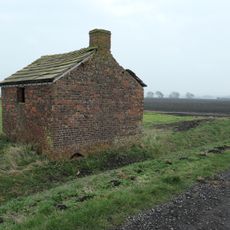
Agricultural shelter and stable
2 km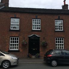
57, Town Road
306 m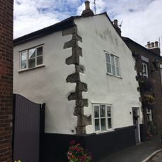
46, Town Road
256 m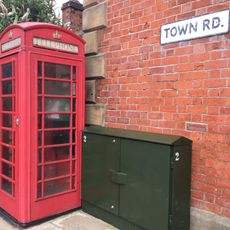
K6 Telephone Kiosk Outside Number 1
137 m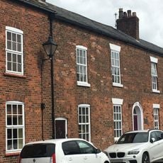
63 And 65, Town Road
330 m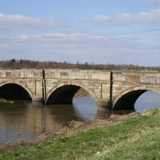
Great Hanging Bridge
2.2 km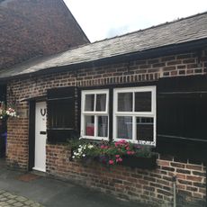
The Smithy
356 m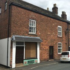
59 and 61, Town Road
317 m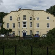
Rectory
450 mHa visitato questo luogo? Tocchi le stelle per valutarlo e condividere la Sua esperienza o foto con la community! Provalo ora! Puoi annullarlo in qualsiasi momento.
Scopri tesori nascosti ad ogni viaggio!
Da piccoli caffè caratteristici a panorami nascosti, fuggi dalla folla e scova i posti che fanno davvero per te. La nostra app ti semplifica tutto: ricerca vocale, filtri furbi, percorsi ottimizzati e dritte autentiche da viaggiatori di tutto il mondo. Scaricala subito per vivere l'avventura sul tuo smartphone!

Un nuovo approccio alla scoperta turistica❞
— Le Figaro
Tutti i luoghi che meritano di essere esplorati❞
— France Info
Un’escursione su misura in pochi clic❞
— 20 Minutes