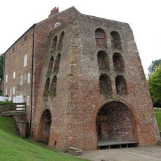
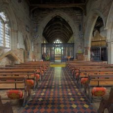
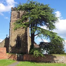
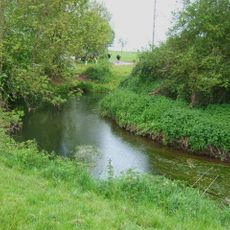
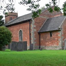
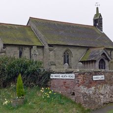
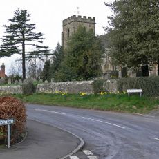
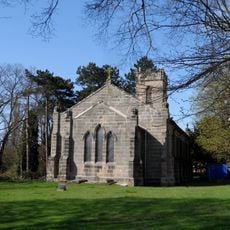
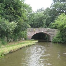
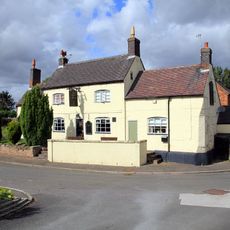
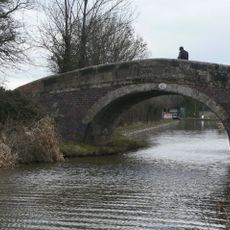
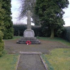
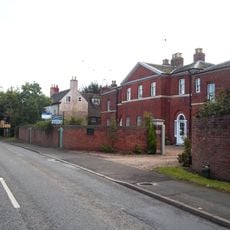
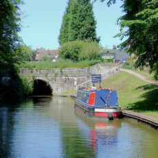
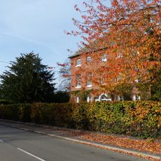
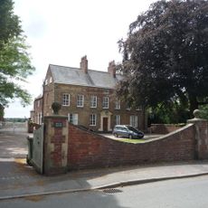
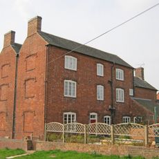
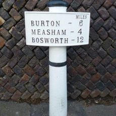
Stretton en le Field, village in the United Kingdom
Posizione: North West Leicestershire
Coordinate GPS: 52.70467,-1.54959
Ultimo aggiornamento: 7 marzo 2025 alle 10:58
Zoo di Twycross
5.9 km
Moira Furnace
3.3 km
St Michael's Church, Stretton en le Field
149 m
Church of St Andrew, Clifton Campville
5.4 km
St Peter's Church, Netherseal
1.9 km
Church of St Michael
2.3 km
River Mease SSSI
2.9 km
Church of St Bartholomew
4.4 km
Church of St Matthew
3.6 km
Church of St Nicholas
5.8 km
Church of St Mary
5.2 km
Church of St Lawrence
3 km
Church of St Matthew
2.2 km
Church of the Holy Trinity
5.2 km
Church of St John the Evangelist
2.2 km
Number 60 Bridge
4.3 km
The Moore's Arms Public House
5.3 km
Snarestone Pumping Station
4.6 km
Number 61 Turnover Bridge
4.5 km
Snarestone War Memorial
4.8 km
Overseal House
3.1 km
Donisthorpe War Memorial Gateway
2.4 km
Snarestone Tunnel Entrances
4.6 km
Manor Farmhouse
4.7 km
Village Cross
5.8 km
Beech House
4.8 km
Hurst Farmhouse
2 km
Milepost, Burton Road, by No. 6
3.7 kmRecensioni
Ha visitato questo luogo? Tocchi le stelle per valutarlo e condividere la Sua esperienza o foto con la community! Provalo ora! Puoi annullarlo in qualsiasi momento.
Scopri tesori nascosti ad ogni viaggio!
Da piccoli caffè caratteristici a panorami nascosti, fuggi dalla folla e scova i posti che fanno davvero per te. La nostra app ti semplifica tutto: ricerca vocale, filtri furbi, percorsi ottimizzati e dritte autentiche da viaggiatori di tutto il mondo. Scaricala subito per vivere l'avventura sul tuo smartphone!
Un nuovo approccio alla scoperta turistica❞
— Le Figaro
Tutti i luoghi che meritano di essere esplorati❞
— France Info
Un’escursione su misura in pochi clic❞
— 20 Minutes