
Pont-rhyd-y-groes, village in United Kingdom
Posizione: Ceredigion
Coordinate GPS: 52.33820,-3.84904
Ultimo aggiornamento: 9 marzo 2025 alle 03:09
Hafod Uchtryd
1.9 km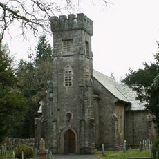
Eglwys Newydd Church
2.9 km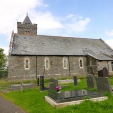
St John The Baptist's New Church, Ysbyty Ystwyth
1.5 km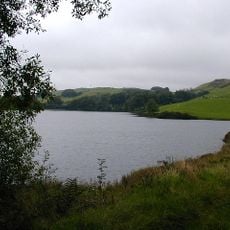
Llyn Frongoch
3.3 km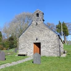
Old church of St John the Baptist
1.5 km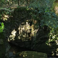
Pont Dologau
3 km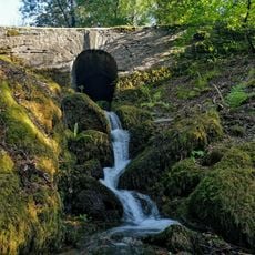
Bridge over stream to W of Bedford Monument
2.2 km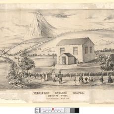
English Chapel
877 m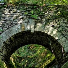
Bridge over the Nant Peiran
2.9 km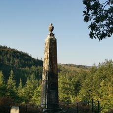
Monument to the Duke of Bedford, Hafod
2.3 km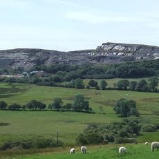
Hendre quarry
3.7 km
Enclosing rails and walls to Thomas Johnes grave in Eglwys Newydd churchyard
2.8 km
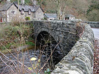
Pont Rhydygroes
41 m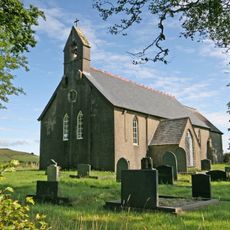
Llantrisant Church, Ceredigion
2.7 km
Pantymawn
2.4 km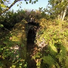
Ice House at Hafod
1.8 km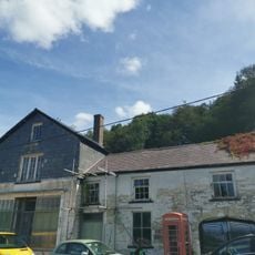
The Old Post Office
392 m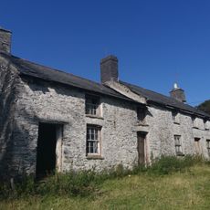
Cae'r meirch
1.8 km
Hafod Uchtryd
1.9 km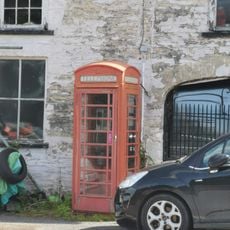
Telephone Call-box outside The Old Post Office
407 m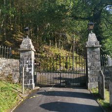
Entrance gates and piers to Eglwys Newydd church
2.9 km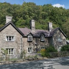
Ystwyth Villa
71 m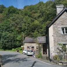
Outbuilding at Ystwyth Villa
73 m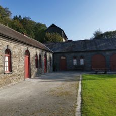
Stable Range at Hafod and attached courtyard walls
1.9 km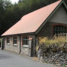
Bethel Calvinistic Methodist Sunday School
3.2 km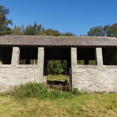
Hay-barn at Hafod
1.9 km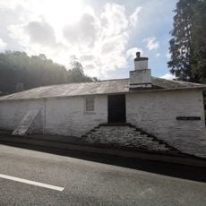
Gwynfryn and Isfryn
562 m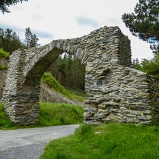
The Jubilee Arch
3.7 kmRecensioni
Ha visitato questo luogo? Tocchi le stelle per valutarlo e condividere la Sua esperienza o foto con la community! Provalo ora! Puoi annullarlo in qualsiasi momento.
Scopri tesori nascosti ad ogni viaggio!
Da piccoli caffè caratteristici a panorami nascosti, fuggi dalla folla e scova i posti che fanno davvero per te. La nostra app ti semplifica tutto: ricerca vocale, filtri furbi, percorsi ottimizzati e dritte autentiche da viaggiatori di tutto il mondo. Scaricala subito per vivere l'avventura sul tuo smartphone!

Un nuovo approccio alla scoperta turistica❞
— Le Figaro
Tutti i luoghi che meritano di essere esplorati❞
— France Info
Un’escursione su misura in pochi clic❞
— 20 Minutes