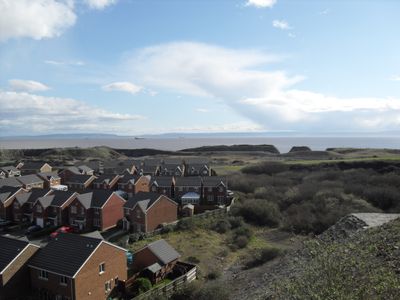
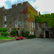
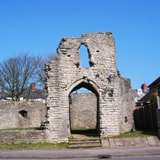
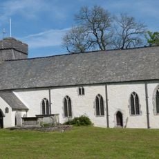
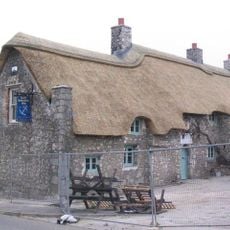
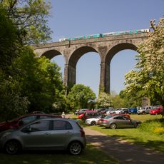
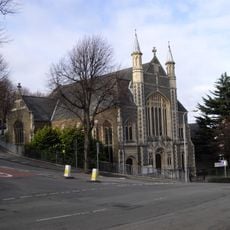
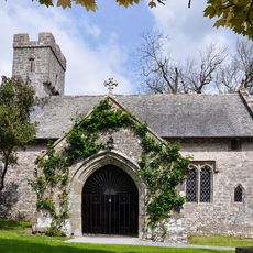
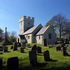
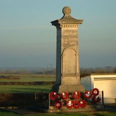
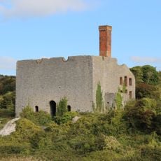
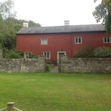
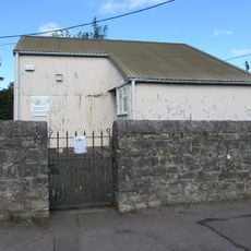
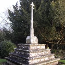
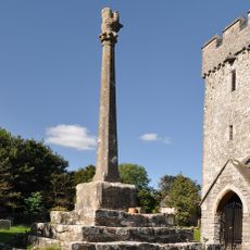
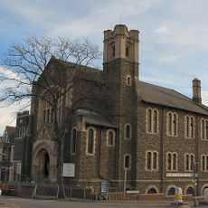
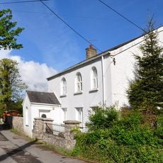
Rhoose, village and community in Vale of Glamorgan, Wales
Posizione: Vale of Glamorgan
Coordinate GPS: 51.39060,-3.35236
Ultimo aggiornamento: 14 marzo 2025 alle 14:20
Fonmon Castle
1.9 km
Barry Castle
4.1 km
St Cadoc's Church
3.7 km
The Blue Anchor Inn
2.5 km
Porthkerry Viaduct
2.4 km
Porthkerry Country Park
2.7 km
Gileston Manor
4.3 km
East Orchard Castle
3.4 km
Welsh Hawking Centre
4.1 km
The Bulwarks, Porthkerry
2.2 km
All Saints' Church
4.5 km
Aberthaw Terrace English Wesleyan Methodist Chapel
4.6 km
Church Of St Giles
4.2 km
St Mary's Church
2.3 km
Church Of St Curig
2.2 km
Kenson Bridge
2.3 km
St Athan, Flemingston and Eglwys Brewis War Memorial
4.3 km
Aberthaw Lime and Cement Works
2.2 km
Trewallter Fawr Farmhouse
4.6 km
St Athan Library
4.5 km
Cross in Churchyard of Church of St Giles
4.2 km
Cross in the Churchyard of the Church of St Curig
2.2 km
Bethel English Baptist Chapel
4.5 km
Saint Athan's Methodist Chapel
4.6 km
No 69, High Street (S Side) Barry
4.8 km
Watchtower, Cold Knap Way, The Knap
4.4 km
Telephone Call-box at road junction in centre of Gileston village
4.1 km
Llancarfan Wesleyan Methodist Chapel
3.8 kmHa visitato questo luogo? Tocchi le stelle per valutarlo e condividere la Sua esperienza o foto con la community! Provalo ora! Puoi annullarlo in qualsiasi momento.
Scopri tesori nascosti ad ogni viaggio!
Da piccoli caffè caratteristici a panorami nascosti, fuggi dalla folla e scova i posti che fanno davvero per te. La nostra app ti semplifica tutto: ricerca vocale, filtri furbi, percorsi ottimizzati e dritte autentiche da viaggiatori di tutto il mondo. Scaricala subito per vivere l'avventura sul tuo smartphone!
Un nuovo approccio alla scoperta turistica❞
— Le Figaro
Tutti i luoghi che meritano di essere esplorati❞
— France Info
Un’escursione su misura in pochi clic❞
— 20 Minutes