
Hordley, village and civil parish in Shropshire, United Kingdom
Posizione: Shropshire
Coordinate GPS: 52.86670,-2.91667
Ultimo aggiornamento: 25 aprile 2025 alle 06:04
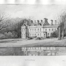
Halston Hall Including Attached Flanking Walls And Balustrade To Rear
4.7 km
Woodhouse
2.5 km
Ellesmere Castle
4.8 km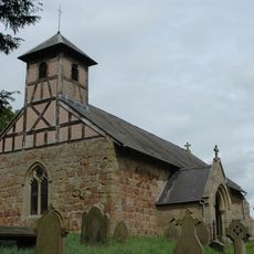
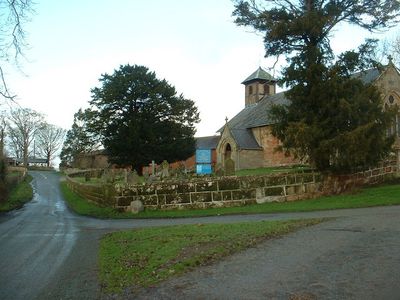
Church of St Mary
580 m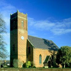
Church of St Simon and St Jude
5.2 km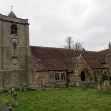
Church of St Michael
6.6 km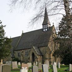
Church of Holy Trinity
6.3 km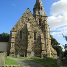
Church of St Andrew
3.5 km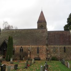
Pradoe Church
5.9 km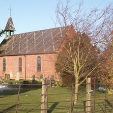
Church of St Raphael and St Isidore
6.9 km
Church of St John the Baptist
8.2 km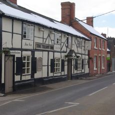
The Talbot Inn
8.2 km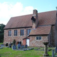
St Chad
3.5 km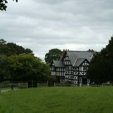
Lee Old Hall
2.9 km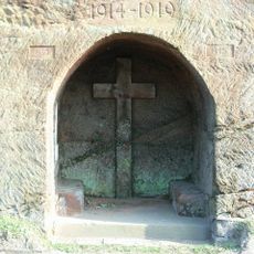
Ruyton-XI-Towns War Memorial
8.2 km
Milestone At Ngr Sj 3525 2350
7.5 km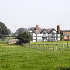
Shade Oak Farmhouse
3.8 km
Petton Hall
6.7 km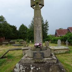
Cockshutt War Memorial
5.2 km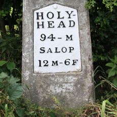
Milestone At Ngr Sj 3487 2503
6.3 km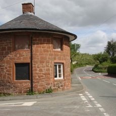
Ye Old Toll House
8.3 km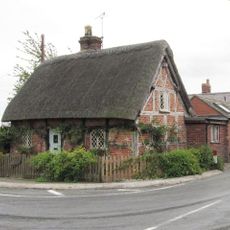
36, Shrewsbury Road
5.4 km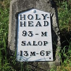
Milestone At Ngr Sj 3417 2643
5.7 km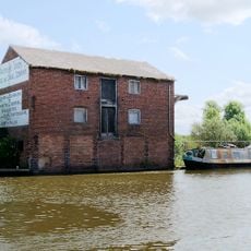
Canal Warehouse Of The Shropshire Union Canal (Llangollen Branch)
4.5 km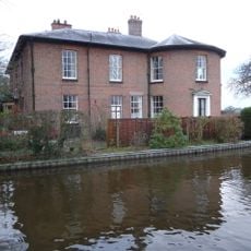
Beech House British Waterways Board Canal Maintenance Depot, Beech House (nos. 2-6), Shropshire Union Canal (south East Side) (l
4.3 km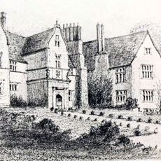
Stanwardine Hall
5 km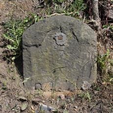
Milestone, W of Tetchill Brook; E Newnes & industrial estate roundabout
4 km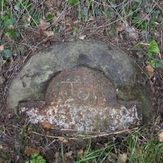
Milestone, near Kinsall
4.3 kmHa visitato questo luogo? Tocchi le stelle per valutarlo e condividere la Sua esperienza o foto con la community! Provalo ora! Puoi annullarlo in qualsiasi momento.
Scopri tesori nascosti ad ogni viaggio!
Da piccoli caffè caratteristici a panorami nascosti, fuggi dalla folla e scova i posti che fanno davvero per te. La nostra app ti semplifica tutto: ricerca vocale, filtri furbi, percorsi ottimizzati e dritte autentiche da viaggiatori di tutto il mondo. Scaricala subito per vivere l'avventura sul tuo smartphone!

Un nuovo approccio alla scoperta turistica❞
— Le Figaro
Tutti i luoghi che meritano di essere esplorati❞
— France Info
Un’escursione su misura in pochi clic❞
— 20 Minutes