
Hopton Cangeford, village in the United Kingdom
Posizione: Shropshire
Coordinate GPS: 52.41670,-2.66667
Ultimo aggiornamento: 13 aprile 2025 alle 08:49
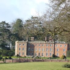
Downton Hall
2.1 km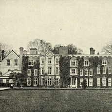
Henley Hall
4 km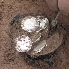
Bitterley Hoard
2.8 km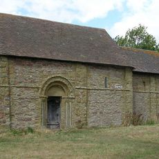
Heath Chapel
5.6 km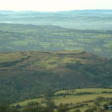
Nordy Bank
5.4 km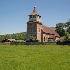
Church of St Mary, Bitterley
3.6 km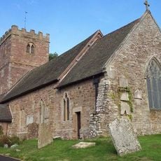
Church of St Milburga, Stoke St Milborough
2.9 km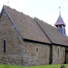
Church of St Margaret
4.6 km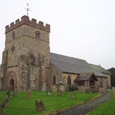
Church of St Peter
6.6 km
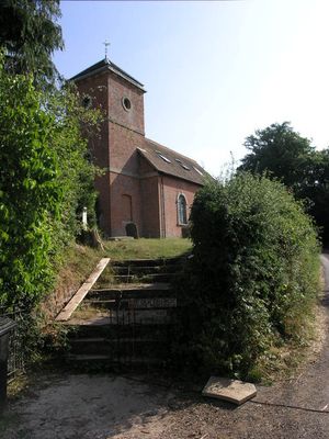
The Old Church
346 m
Old Church of St Mary
3 km
Middleton Chapel
2.8 km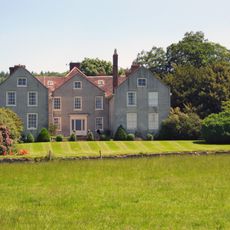
Bitterley Court
3.7 km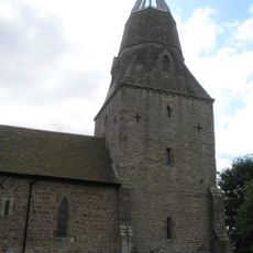
Church of All Saints, Culmington
5.7 km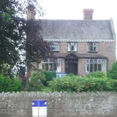
Peaton Hall
5.2 km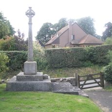
Diddlebury War Memorial
6.6 km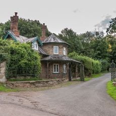
Railings, Piers And Gate To South Lodge Of Downton Hall (Not Included)
3.8 km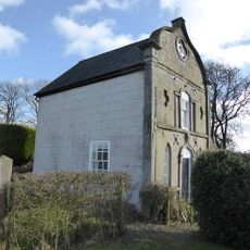
West Lodge To Downton Hall With Attached Outbuildings
2.6 km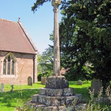
Cross in Churchyard of Church of St Mary
3.6 km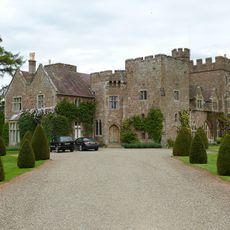
Broncroft Castle
6.7 km
South Lodge of Downton Hall (Not Included)
3.9 km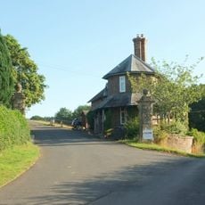
East Lodge to Downton Hall
1.4 km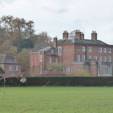
Delbury Hall
6.4 km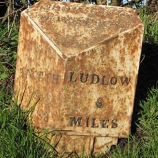
Milepost At Ngr So 5802 8080
3.4 km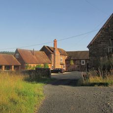
Meesons Farmhouse
980 m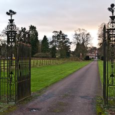
Entrance Gates And Screen At Henley Hall
3.8 km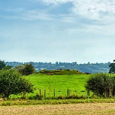
Camp Ring motte and bailey castle, enclosure, fishpond and ridge and furrow 400m east of Culmington Farm
5.4 km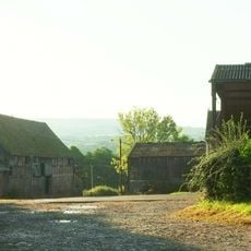
South barn at Middleton Court
2.9 kmHa visitato questo luogo? Tocchi le stelle per valutarlo e condividere la Sua esperienza o foto con la community! Provalo ora! Puoi annullarlo in qualsiasi momento.
Scopri tesori nascosti ad ogni viaggio!
Da piccoli caffè caratteristici a panorami nascosti, fuggi dalla folla e scova i posti che fanno davvero per te. La nostra app ti semplifica tutto: ricerca vocale, filtri furbi, percorsi ottimizzati e dritte autentiche da viaggiatori di tutto il mondo. Scaricala subito per vivere l'avventura sul tuo smartphone!

Un nuovo approccio alla scoperta turistica❞
— Le Figaro
Tutti i luoghi che meritano di essere esplorati❞
— France Info
Un’escursione su misura in pochi clic❞
— 20 Minutes