
Walgrave, village and civil parish in Northamptonshire, United Kingdom
Posizione: West Northamptonshire
Coordinate GPS: 52.34470,-0.81970
Ultimo aggiornamento: 4 marzo 2025 alle 11:09

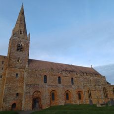
All Saints' Church, Brixworth
5.9 km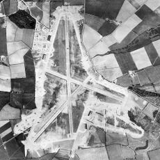
RAF Harrington
6.1 km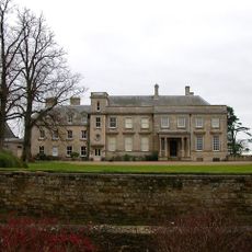
Lamport Hall
5 km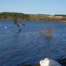
Pitsford Water
4.4 km
Sywell Aviation Museum
5.2 km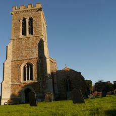
Church of St Andrew
2 km
Church of St Mary and All Saints
3 km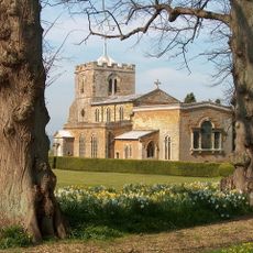
Church of All Saints, Lamport
5.1 km
Badsaddle, Withmale Park and Bush Walk Woods
2.9 km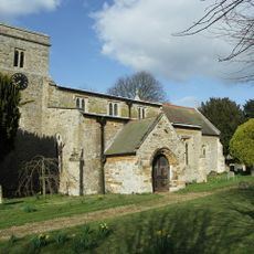
St Catherine's Church, Draughton
6.1 km
Hardwick Lodge Meadow
3.7 km
Birch Spinney and Mawsley Marsh
4.2 km
Church of St Andrew
4.7 km
Church of St Andrew
4.6 km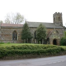
Church of St Peter and St Paul
1.7 km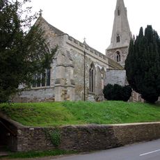
Church of St Peter
596 m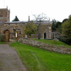
Church of St Peter and St Paul
3.6 km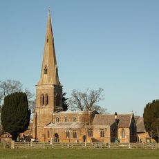
Church of St Leonard
5.9 km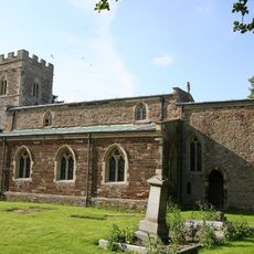
Church of St Leonard
5.3 km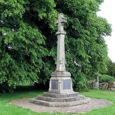
Brixworth War Memorial
5.9 km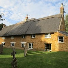
Stable Yard Cottages
6 km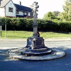
Holcot War Memorial
3.1 km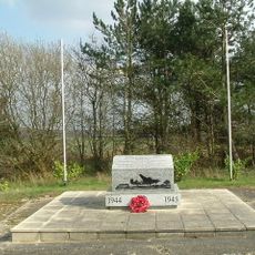
801st & 492nd Bombardment Group 'The Carpetbaggers' Memorial, Harrington
5.8 km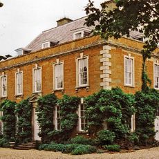
The Old Rectory
5.1 km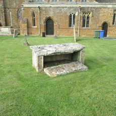
Chest Tomb 15 Metres South Of Church Of St Leonard
5.9 km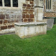
Chest Tomb Half A Mile South Of South Aisle Of Church Of St Andrew
4.6 km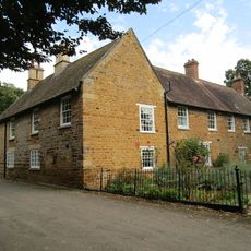
Squires' Farmhouse
4.9 km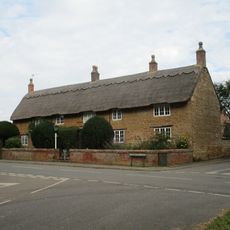
White Hill Farmhouse
5 kmRecensioni
Ha visitato questo luogo? Tocchi le stelle per valutarlo e condividere la Sua esperienza o foto con la community! Provalo ora! Puoi annullarlo in qualsiasi momento.
Scopri tesori nascosti ad ogni viaggio!
Da piccoli caffè caratteristici a panorami nascosti, fuggi dalla folla e scova i posti che fanno davvero per te. La nostra app ti semplifica tutto: ricerca vocale, filtri furbi, percorsi ottimizzati e dritte autentiche da viaggiatori di tutto il mondo. Scaricala subito per vivere l'avventura sul tuo smartphone!

Un nuovo approccio alla scoperta turistica❞
— Le Figaro
Tutti i luoghi che meritano di essere esplorati❞
— France Info
Un’escursione su misura in pochi clic❞
— 20 Minutes