Attiva posizione

Abbiamo bisogno della tua posizione per mostrarti luoghi interessanti intorno a te

Scopri luoghi nelle vicinanze

Trova luoghi interessanti e gemme nascoste intorno a te

Indicazioni precise

Ottieni indicazioni precise e distanze verso i luoghi

La tua posizione non viene mai condivisa con altri utenti. Viene utilizzata solo quando tocchi il pulsante posizione.

Beeley

Accedi al tuo account

Inizia a esplorare — è gratis

Scelto da 65.905 viaggiatori nel mondo

Continua con Google
Continua con Apple
o

Ti invieremo un codice per connetterti

Continuando, accetti i nostri Termini e Condizioni e la nostra Informativa sulla Privacy

Controlla la tua casella di posta

Abbiamo inviato un codice PIN nella tua casella di posta. Inserisci il codice qui sotto.

Discussion Recensioni 1 Foto
2.9k Popolarità

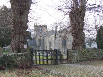
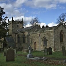
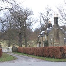
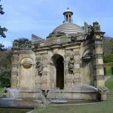
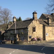
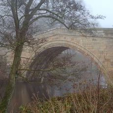
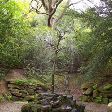
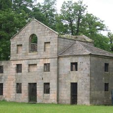
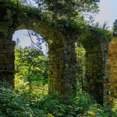
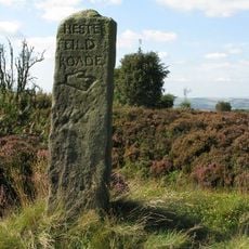
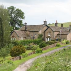
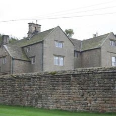
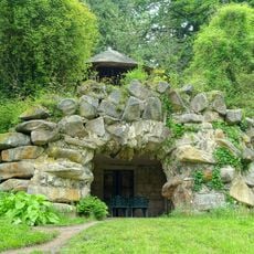
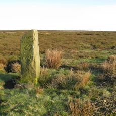
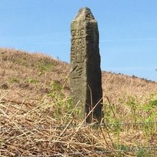
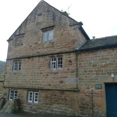
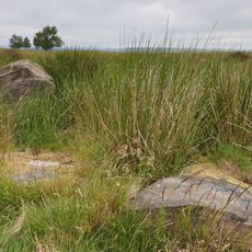
Beeley, village and civil parish in Derbyshire Dales district, Derbyshire, England

La comunità dei viaggiatori curiosi

AroundUs riunisce migliaia di luoghi selezionati, consigli locali e gemme nascoste, arricchiti ogni giorno da oltre 60,000 contributori in tutto il mondo.

Inizia a esplorare
Posizione
Confina con
Baslow and Bubnell, Brampton, Holymoorside and Walton, Ashover, Darley Dale, Rowsley, Chatsworth
Coordinate GPS
53.20300,-1.60500
Ultimo aggiornamento
7 marzo 2025 alle 10:49
Intorno a questo luogo
Hob Hurst's House
Regno Unito

Hob Hurst's House

2.9 km
Church of St Anne
Regno Unito

Church of St Anne

245 m
Beeley Lodge At South End Of Chatsworth Park
Regno Unito

Beeley Lodge At South End Of Chatsworth Park

1.1 km
Conduit House Cascade and adjoining statues
Regno Unito

Conduit House Cascade and adjoining statues

2.7 km
Devonshire Arms
Regno Unito

Devonshire Arms

48 m
One Arch Bridge
Regno Unito

One Arch Bridge

1.1 km
The Willow Tree Fountain
Regno Unito

The Willow Tree Fountain

2.6 km
Edensor Mill
Regno Unito

Edensor Mill

1.5 km
Aqueduct
Regno Unito

Aqueduct

2.7 km
Guidestone On Beeley Moor At Os 294674
Regno Unito

Guidestone On Beeley Moor At Os 294674

3 km
Calton Lees House
Regno Unito

Calton Lees House

1 km
Beeley Hilltop House
Regno Unito

Beeley Hilltop House

1.1 km
Grotto In Arboretum
Regno Unito

Grotto In Arboretum

2.2 km
Guidepost at SK 289 693
Regno Unito

Guidepost at SK 289 693

3.2 km
Medieval cross base 780m south west of Arkwright Plantation
Regno Unito

Medieval cross base 780m south west of Arkwright Plantation

3.2 km
Guidestone, SE end of Beeley Moor;
Regno Unito

Guidestone, SE end of Beeley Moor;

3.5 km
Norman House Attached Cottage And Barn
Regno Unito

Norman House Attached Cottage And Barn

211 m
Series of herms and altars laid out in a Y to the east of the Ring Pond
Regno Unito

Series of herms and altars laid out in a Y to the east of the Ring Pond

2.5 km
Bridge House
Regno Unito

Bridge House

1.1 km
Bronze Age settlement and ceremonial remains on Gibbet Moor, 980m north east of Swiss Cottage
Regno Unito

Bronze Age settlement and ceremonial remains on Gibbet Moor, 980m north east of Swiss Cottage

3.8 km
Field system and stone circle on Rabbit Warren, 1150m south east of Park Farm
Regno Unito

Field system and stone circle on Rabbit Warren, 1150m south east of Park Farm

1.9 km
Guidestone, Darley Road, E of Gladwin's Mark at jct with Alicehead Road
Regno Unito

Guidestone, Darley Road, E of Gladwin's Mark at jct with Alicehead Road

5.2 km
Guidestone At Os288696
Regno Unito

Guidestone At Os288696

3.3 km
Milepost, opp. entrance to Stonelow Farm, E of Derbys Dales boundary
Regno Unito

Milepost, opp. entrance to Stonelow Farm, E of Derbys Dales boundary

4.8 km
Round cairn on Harland Edge
Regno Unito

Round cairn on Harland Edge

2.8 km
Milestone, entrance to Darwin Forest Country Park, NE of Burnt Piece crossroads (Flash Dam)
Regno Unito

Milestone, entrance to Darwin Forest Country Park, NE of Burnt Piece crossroads (Flash Dam)

4.4 km
Milepost, entrance to Darwin Forest Country Park, NE of Burnt Piece crossroads (Flash Dam)
Regno Unito

Milepost, entrance to Darwin Forest Country Park, NE of Burnt Piece crossroads (Flash Dam)

4.4 km
Guidestone, Screetham House Farm, Beetham Lane and Screetham Lane cross roads; opp. Farm
Regno Unito

Guidestone, Screetham House Farm, Beetham Lane and Screetham Lane cross roads; opp. Farm

3.9 km
Mostra la mappa completa
Recensioni
Condividi la tua esperienza

Nessuna recensione

Discussioni
Avvia una discussione...

Nessuna discussione

« Beeley - village and civil parish in Derbyshire Dales district, Derbyshire, England » è fornito da Around Us (it.aroundus.com). Le immagini e i testi sono tratti dal progetto Wikimedia con licenza Creative Commons. È possibile copiare, distribuire e modificare copie di questa pagina, alle condizioni stabilite dalla licenza, a condizione che questa nota sia chiaramente visibile.

Scopri tesori nascosti ad ogni viaggio!

Da piccoli caffè caratteristici a panorami nascosti, fuggi dalla folla e scova i posti che fanno davvero per te. La nostra app ti semplifica tutto: ricerca vocale, filtri furbi, percorsi ottimizzati e dritte autentiche da viaggiatori di tutto il mondo. Scaricala subito per vivere l'avventura sul tuo smartphone!

Around Us App Screenshot

Un nuovo approccio alla scoperta turistica

Le Figaro

Tutti i luoghi che meritano di essere esplorati

France Info

Un’escursione su misura in pochi clic

20 Minutes

Around Us
Guida di viaggio e mappe
Scarica

Invia al tuo telefono

QR Code
1

Apri l'app fotocamera sul tuo cellulare.

2

Inquadra il codice QR con la fotocamera. Apparirà una notifica.

3

Tocca la notifica per aprire il link.