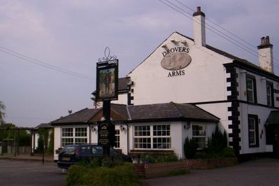
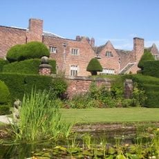
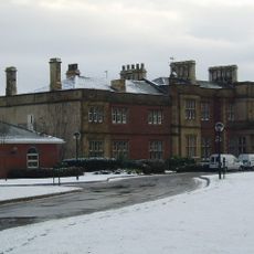
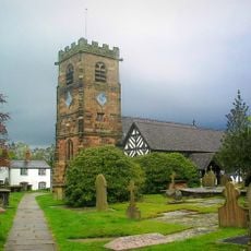
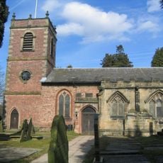
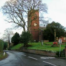
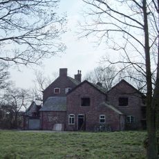
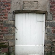
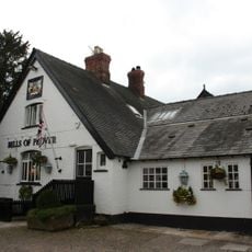
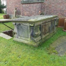
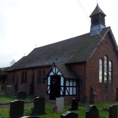
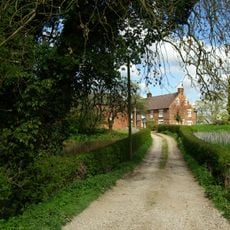
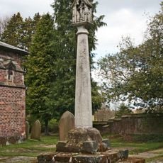
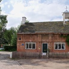
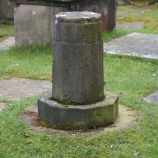
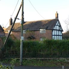
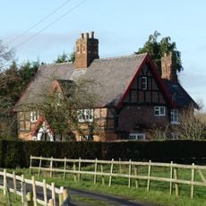
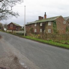
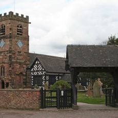
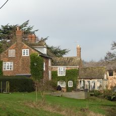
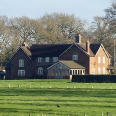
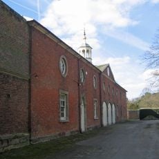
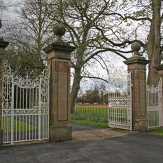
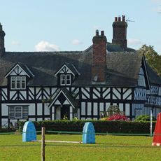
Allostock, village and civil parish in Chester West and Cheshire, UK
Posizione: Cheshire West and Chester
Confina con: 
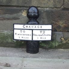
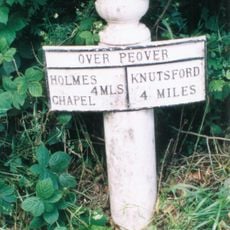
Goostrey, Lach Dennis, Byley, Nether Peover, Peover Superior, Cranage
Coordinate GPS: 53.23330,-2.38333
Ultimo aggiornamento: 10 marzo 2025 alle 04:01
Peover Hall
3.9 km
Cranage Hall
2.5 km
St Oswald's Church
3.4 km
St Lawrence's Church, Over Peover
3.9 km
St Luke's Church, Goostrey
3.5 km
St.Oswald's Church, Padgate
3.3 km
St John the Evangelist's Church, Byley
2.7 km
Hulme Hall
2.6 km
Peover Hall Stable Block
3.8 km
The Bells of Peover public house
3.4 km
Table tomb by east wall of St Luke's Church
3.5 km
All Saints
4.2 km
Swanwick Hall
2.2 km
Cross base and cross in churchyard of Church of St Lawrence
3.8 km
The Old School House
3.4 km
Sundial in churchyard of Church of St Lawrence
3.8 km
The Old Schoolhouse
3.4 km
Winterbottom Farmhouse
2.5 km
Townfield Farm House
1.7 km
Lychgate, St Oswald's Churchyard
3.4 km
Brookside Farmhouse
3.5 km
Barnshaw Hall
3.6 km
Mile post 5 metres south of Byley Lane junction
2.3 km
The Coach House, Peover Hall
3.8 km
Gatepiers and gates circa 20 yards north east of The Old Stable Block, Peover Hall
3.9 km
Hollins Farmhouse
3 km
Mile Post
2.4 km
Sundial 3 metres from south east end of St Luke's Church
3.5 kmRecensioni
Ha visitato questo luogo? Tocchi le stelle per valutarlo e condividere la Sua esperienza o foto con la community! Provalo ora! Puoi annullarlo in qualsiasi momento.
Scopri tesori nascosti ad ogni viaggio!
Da piccoli caffè caratteristici a panorami nascosti, fuggi dalla folla e scova i posti che fanno davvero per te. La nostra app ti semplifica tutto: ricerca vocale, filtri furbi, percorsi ottimizzati e dritte autentiche da viaggiatori di tutto il mondo. Scaricala subito per vivere l'avventura sul tuo smartphone!
Un nuovo approccio alla scoperta turistica❞
— Le Figaro
Tutti i luoghi che meritano di essere esplorati❞
— France Info
Un’escursione su misura in pochi clic❞
— 20 Minutes