
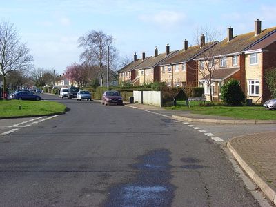
Berinsfield, village and civil parish in South Oxfordshire, England
Posizione: South Oxfordshire
Confina con: Marsh Baldon, Clifton Hampden, Dorchester, Warborough, Drayton St. Leonard, Stadhampton
Coordinate GPS: 51.66200,-1.17400
Ultimo aggiornamento: 10 aprile 2025 alle 02:18
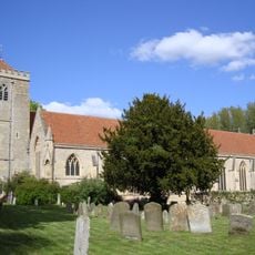
Dorchester Abbey
2.1 km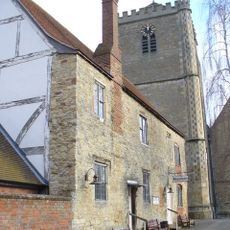
Dorchester Abbey Museum
2.1 km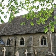
Church of St Birinus
2.4 km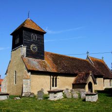
Church of St Leonard
2.4 km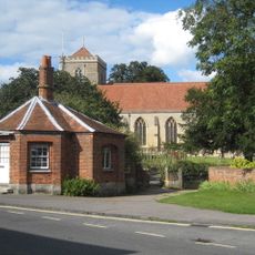
The Toll House And Attached Churchyard Wall
2.2 km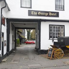
The George Hotel
2.1 km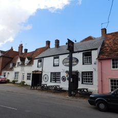
Fleur De Lys Inn
2.2 km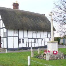
Watling Lane Cottage
1.9 km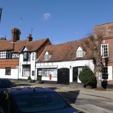
Post Office
2.1 km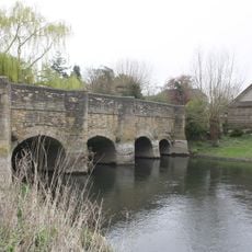
Chiselhampton Bridge
3.3 km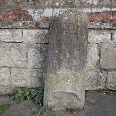
Milestone Approximately 20 Metres West Of The Toll House
2.2 km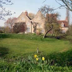
Camoys Court
3.1 km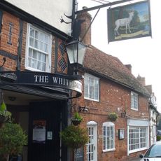
The White Hart Hotel Bar
2 km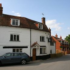
The Chequers Public House
2.4 km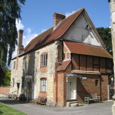
Abbey Guest House
2.1 km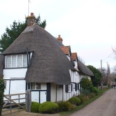
Orchard Cottage
2 km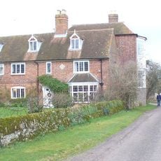
Overy Farmhouse
2.5 km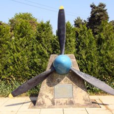
7th Photo Group Memorial, Berinsfield
699 m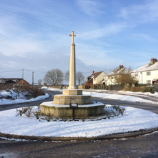
Drayton St Leonard War Memorial
2.5 km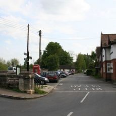
K6 Telephone Kiosk, Bridge End
2.3 km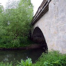
The Bridge And Causeway
2.5 km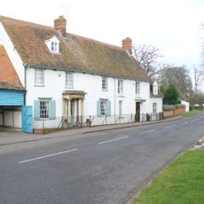
Willoughby House
1.8 km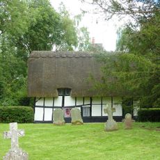
4, High Street
2.2 km
Churchyard Cross Approximately 6 Metres South Of Dorchester Abbey
2.2 km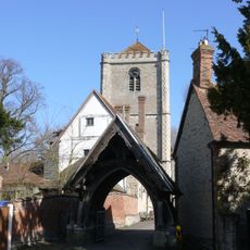
Lychgate Approximately 40 Metres West Of Dorchester Abbey
2.1 km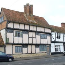
55, High Street
1.9 km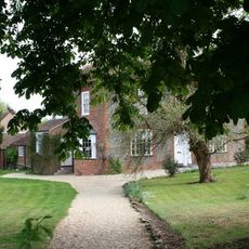
Bridge House
2.5 km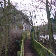
Overy Mill
2.4 kmRecensioni
Ha visitato questo luogo? Tocchi le stelle per valutarlo e condividere la Sua esperienza o foto con la community! Provalo ora! Puoi annullarlo in qualsiasi momento.
Scopri tesori nascosti ad ogni viaggio!
Da piccoli caffè caratteristici a panorami nascosti, fuggi dalla folla e scova i posti che fanno davvero per te. La nostra app ti semplifica tutto: ricerca vocale, filtri furbi, percorsi ottimizzati e dritte autentiche da viaggiatori di tutto il mondo. Scaricala subito per vivere l'avventura sul tuo smartphone!

Un nuovo approccio alla scoperta turistica❞
— Le Figaro
Tutti i luoghi che meritano di essere esplorati❞
— France Info
Un’escursione su misura in pochi clic❞
— 20 Minutes