
Bitton, village and civil parish in South Gloucestershire, England
Posizione: South Gloucestershire
Coordinate GPS: 51.42480,-2.46004
Ultimo aggiornamento: 3 marzo 2025 alle 03:43
Keynsham Lock
2.3 km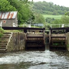
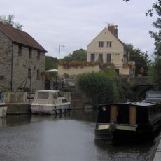
Swineford Lock
1.2 km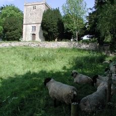
Church of St Martin
2.3 km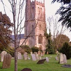
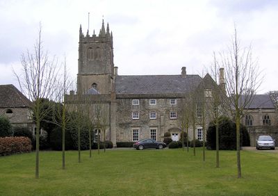
Parish Church of St Mary
312 m
Kingswood Heritage Museum
3.3 km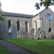
Church of St Anne
2 km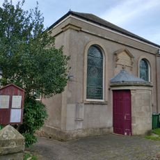
United Reformed Church
1.3 km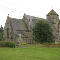
Church of St Bartholomew
3.5 km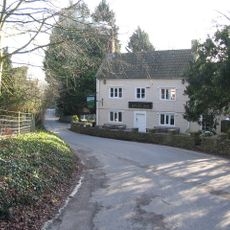
The Upton Inn
1.1 km
Willsbridge Mill
2 km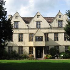
Wick Court
3.6 km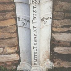
Boundary Post At Swineford Opposite Somerset House
1.2 km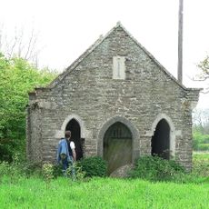
Cold Bath House Approximately 170 Yards To South Of Fieldgrove House
912 m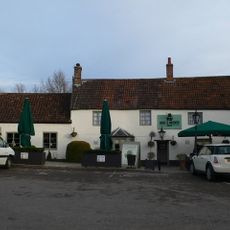
Rose And Crown
3.8 km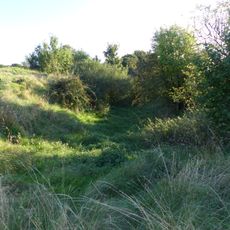
Large univallate hillfort with a bowl barrow and pillow mounds 970m west of The Bungalow
2.9 km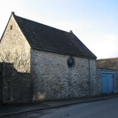
Coach House And Stable To North Of Upton House
1.2 km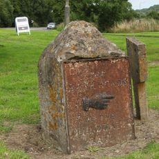
Guidestone At Junction With Bury Lane
4.2 km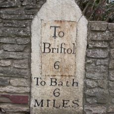
Milestone Opposite Number 116
216 m
Direction Signs At Cross Roads Half A Mile North West Of Beach
2.3 km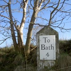
Milestone at National Grid Reference ST 7210 7029
4 km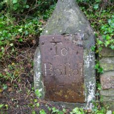
Milestone At National Grid Reference St6929 6889
1.4 km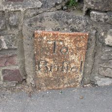
Milestone About 130 Metres West Of The Lawn
3.9 km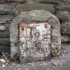
Milestone Immediately West Of Number 63
1.8 km
Roman camp 405m west of The Bungalow
3.4 km
Avon House
2.4 km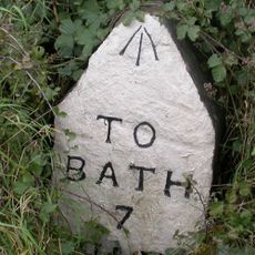
Milestone, West Street, Oldland Common
1.6 km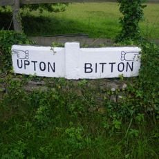
Guidestone, Upton Cheney, N of village at ST6991771034
2.3 km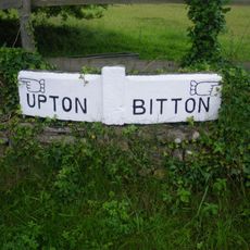
Guidestone, Upton Cheney, N of village at ST6992771100
2.3 kmHa visitato questo luogo? Tocchi le stelle per valutarlo e condividere la Sua esperienza o foto con la community! Provalo ora! Puoi annullarlo in qualsiasi momento.
Scopri tesori nascosti ad ogni viaggio!
Da piccoli caffè caratteristici a panorami nascosti, fuggi dalla folla e scova i posti che fanno davvero per te. La nostra app ti semplifica tutto: ricerca vocale, filtri furbi, percorsi ottimizzati e dritte autentiche da viaggiatori di tutto il mondo. Scaricala subito per vivere l'avventura sul tuo smartphone!

Un nuovo approccio alla scoperta turistica❞
— Le Figaro
Tutti i luoghi che meritano di essere esplorati❞
— France Info
Un’escursione su misura in pochi clic❞
— 20 Minutes