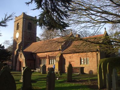
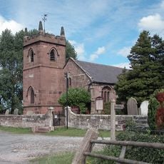
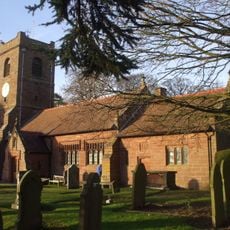
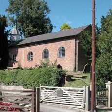
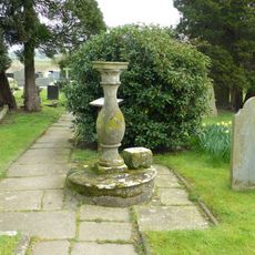
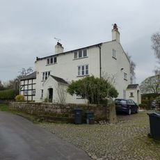
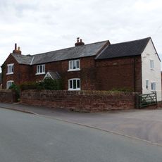
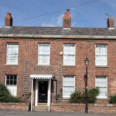
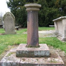
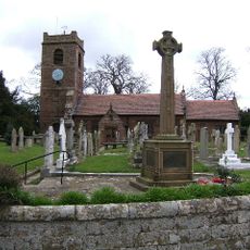
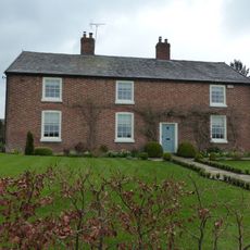
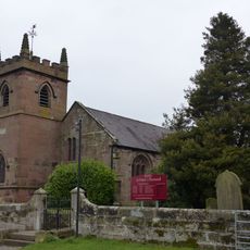
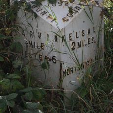
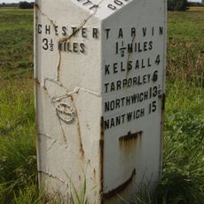
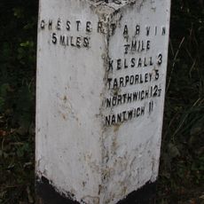
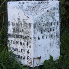
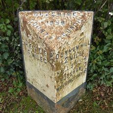
Barrow, civil parish in Cheshire, UK
Posizione: Cheshire West and Chester
Confina con: Dunham-on-the-Hill and Hapsford, Tarvin, Ashton Hayes and Horton-cum-Peel, Manley, Mouldsworth, Christleton, Guilden Sutton, Mickle Trafford and District
Coordinate GPS: 53.21944,-2.78667
Ultimo aggiornamento: 5 marzo 2025 alle 19:57
St Peter's Church
2 km
Peel Hall
2.3 km
St Bartholomew's Church, Barrow
1.3 km
St John the Baptist's Church, Guilden Sutton
3 km
Trafford Mill
2.8 km
St. Plegmund's well
2.2 km
Vault, tombchest and memorial of the Hurleston family attached to east end of Church of St Peter
2 km
Sundial in the churchyard of St Peter
1.9 km
Number 86 and attached outbuilding
2.8 km
The White House
1.1 km
Town Farm Farmhouse
3 km
Laurel House
2.8 km
Roade House
2.8 km
Sundial in St. Bartholomew's Churchyard
1.3 km
Great Barrow War Memorial
1.3 km
Little Barrow Hall
909 m
76, High Street
2.8 km
West wall and gate of the churchyard of St Peter
2 km
Gates, overthrow and gate piers to the Churchyard of St Bartholomew
1.3 km
The Old Rectory
1.2 km
78 and 80, High Street
2.9 km
51, High Street
2.8 km
Tarvin Hall
2.8 km
Milepost, Tarvin Sands
2.7 km
Milepost, S of Stamford Bridge
2.3 km
Milepost, E of on roundabout jct of A54 & A51
2.8 km
Milepost, S of Ashton Village
2.8 km
Milepost, Trafford Mill
2.9 kmHa visitato questo luogo? Tocchi le stelle per valutarlo e condividere la Sua esperienza o foto con la community! Provalo ora! Puoi annullarlo in qualsiasi momento.
Scopri tesori nascosti ad ogni viaggio!
Da piccoli caffè caratteristici a panorami nascosti, fuggi dalla folla e scova i posti che fanno davvero per te. La nostra app ti semplifica tutto: ricerca vocale, filtri furbi, percorsi ottimizzati e dritte autentiche da viaggiatori di tutto il mondo. Scaricala subito per vivere l'avventura sul tuo smartphone!
Un nuovo approccio alla scoperta turistica❞
— Le Figaro
Tutti i luoghi che meritano di essere esplorati❞
— France Info
Un’escursione su misura in pochi clic❞
— 20 Minutes