Bilsthorpe, village in United Kingdom
Posizione: Newark and Sherwood
Coordinate GPS: 53.13330,-1.03333
Ultimo aggiornamento: 4 marzo 2025 alle 02:23
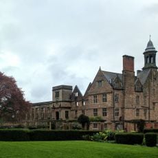
Rufford Abbey
4.7 km
All Saints' Church
726 m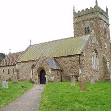
St Swithin's Church, Wellow
6.5 km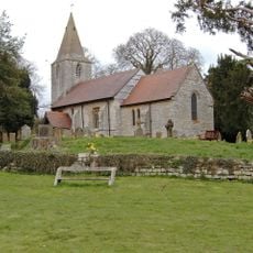
St Radegund's Church, Maplebeck
6.3 km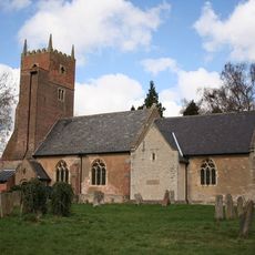
St Swithun's Church, Kirklington
4 km
St Michael the Archangel's Church, Halam
6.1 km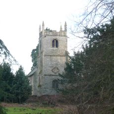
St John of Jerusalem's Church, Winkburn
6.6 km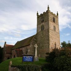
St Andrew’s Church, Eakring
3.5 km
St Michael's Church, Farnsfield
3.5 km
St Giles' Church, Edingley
4.5 km
Church of St Margaret
723 m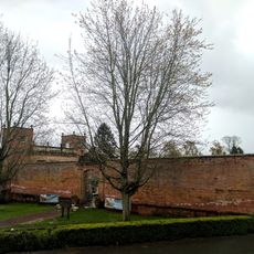
Orangery, Fountain And Garden Wall At Rufford Abbey
4.7 km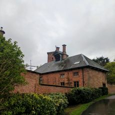
Brewhouse And Adjoining Bothy And Boundary Wall
4.7 km
Farnsfield War Memorial
3.4 km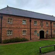
Stable Block At Rufford Abbey
4.8 km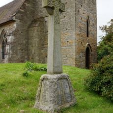
Eakring War Memorial
3.5 km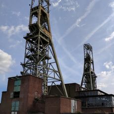
Headstocks And Powerhouse At The Site Of The Former Clipstone Colliery
6.2 km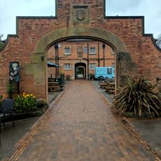
Coach House At Rufford Abbey And Adjoining Boundary Wall
4.7 km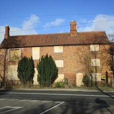
Ivy Farmhouse And Cottage
3.8 km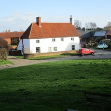
Low Farmhouse
6.4 km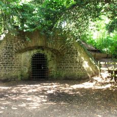
Major Icehouse At Rufford Abbey
5.3 km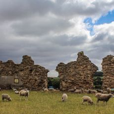
King John's Palace
6.5 km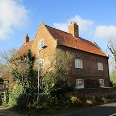
Highfield Farmhouse
3.8 km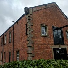
Rufford Abbey Sawmill And Adjoining Outbuildings
5.5 km
Winkburn Hall Lodge
6.4 km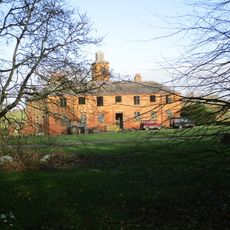
Stable Block At Winkburn Hall
6.6 km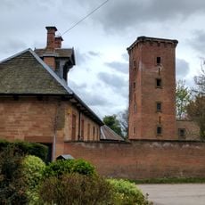
Water Tower And Boundary Wall At Rufford Abbey
4.7 km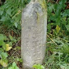
Milestone, by Cottage Farm, W of A614 roundabout
2.7 kmHa visitato questo luogo? Tocchi le stelle per valutarlo e condividere la Sua esperienza o foto con la community! Provalo ora! Puoi annullarlo in qualsiasi momento.
Scopri tesori nascosti ad ogni viaggio!
Da piccoli caffè caratteristici a panorami nascosti, fuggi dalla folla e scova i posti che fanno davvero per te. La nostra app ti semplifica tutto: ricerca vocale, filtri furbi, percorsi ottimizzati e dritte autentiche da viaggiatori di tutto il mondo. Scaricala subito per vivere l'avventura sul tuo smartphone!

Un nuovo approccio alla scoperta turistica❞
— Le Figaro
Tutti i luoghi che meritano di essere esplorati❞
— France Info
Un’escursione su misura in pochi clic❞
— 20 Minutes