
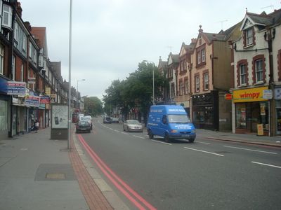
Brighton Road, road from Croydon in London to Hooley in Surrey, England, UK
Posizione: London Borough of Croydon
Posizione: Reigate and Banstead
Coordinate GPS: 51.33000,-0.12583
Ultimo aggiornamento: 23 settembre 2025 alle 13:58
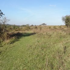
Farthing Downs
2.6 km
Oaks Park
2.9 km
Riddlesdown Common
2.4 km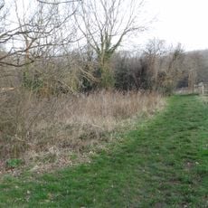
Foxley Wood
853 m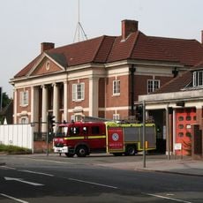
Purley Council Offices Including Attached Railings
180 m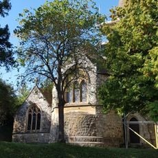
Church of All Saints
2 km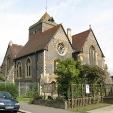
Church of St Augustine
3.1 km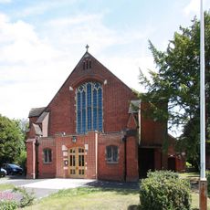
Church of St Michael and All Angels
3.3 km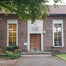
Purley Library
1.1 km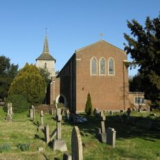
Church of St John the Evangelist
2.5 km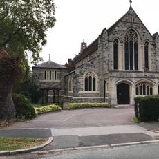
Church of St Mark
1.7 km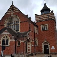
Purley United Reformed Church, Formerly Purley Congregational Church
1.4 km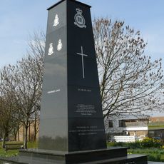
Croydon Aerodrome Battle of Britain Memorial
2.4 km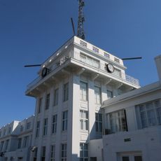
Airport House
3 km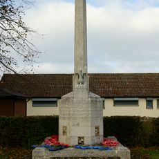
Old Coulsdon War Memorial
2.6 km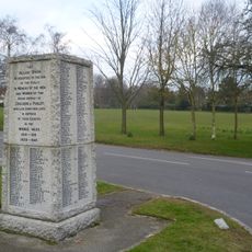
Woodcote War Memorial
931 m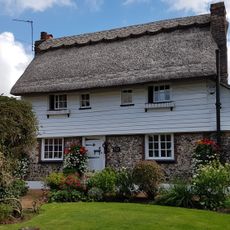
The Thatched Cottage
3 km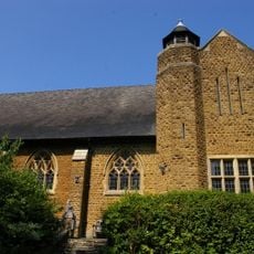
St. James' Riddlesdown
1.3 km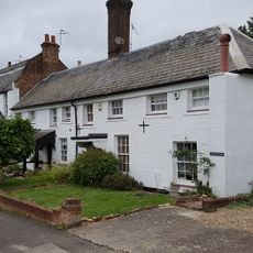
Purley Bury
2.1 km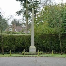
Promenade de Verdun War Memorial
1 km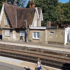
Kenley Station House (Original 1856 Building)
1.8 km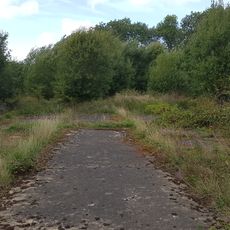
Group of four World War II fighter pens at the former airfield of RAF Kenley
3.2 km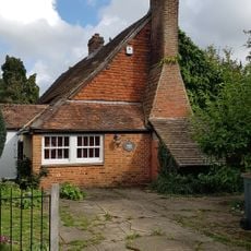
The Old Forge
1.9 km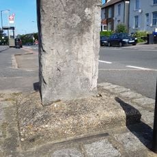
Milestone Outside Number 362
3.1 km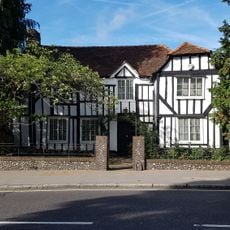
The White House
3.4 km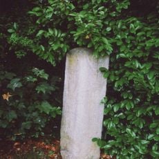
Milestone, Grounds of Purley Memorial Hospital
1.4 km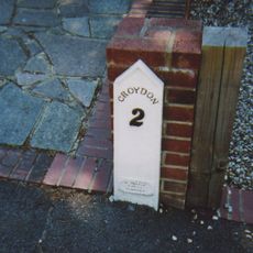
Milepost, Sanderstead Hill, by No. 36, half mile N of jct with A2022
2.9 km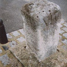
Milestone, between Kenley & Whyteleafe
2.9 kmRecensioni
Ha visitato questo luogo? Tocchi le stelle per valutarlo e condividere la Sua esperienza o foto con la community! Provalo ora! Puoi annullarlo in qualsiasi momento.
Scopri tesori nascosti ad ogni viaggio!
Da piccoli caffè caratteristici a panorami nascosti, fuggi dalla folla e scova i posti che fanno davvero per te. La nostra app ti semplifica tutto: ricerca vocale, filtri furbi, percorsi ottimizzati e dritte autentiche da viaggiatori di tutto il mondo. Scaricala subito per vivere l'avventura sul tuo smartphone!

Un nuovo approccio alla scoperta turistica❞
— Le Figaro
Tutti i luoghi che meritano di essere esplorati❞
— France Info
Un’escursione su misura in pochi clic❞
— 20 Minutes