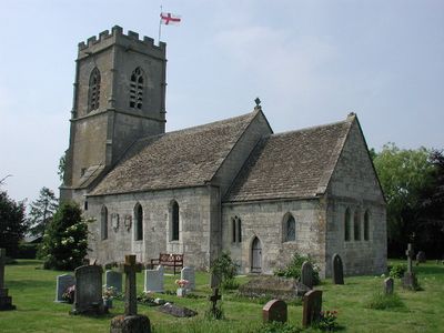
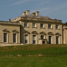
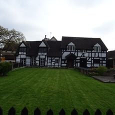
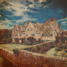
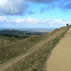
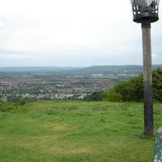
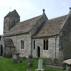
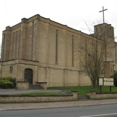
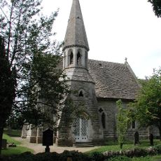
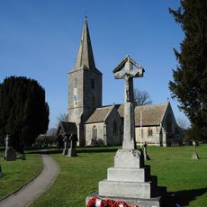
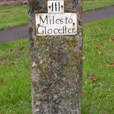
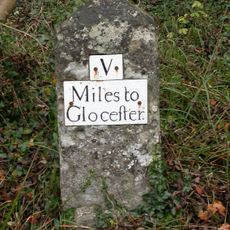
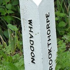
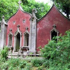
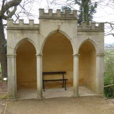
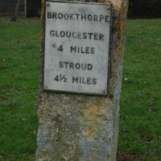
Brookthorpe-with-Whaddon, civil parish in Gloucestershire, UK
Posizione: Stroud
Sito web: http://brookthorpe-with-whaddon.co.uk
Coordinate GPS: 51.81667,-2.23333
Ultimo aggiornamento: 8 aprile 2025 alle 10:22
Painswick House
3.5 km
Little Thatch
3.2 km
Holcombe House
2.4 km
Painswick Hill camp
3.1 km
Robin's Wood Hill Quarry
1.7 km
St Swithun's Church, Brookthorpe
1 km
St Barnabas Church, Gloucester
2.7 km
Range Farm Fields
1 km
Church of St Margaret
873 m
Church of St John the Baptist
2.7 km
Church of St Leonard
2.8 km
Church of St John the Baptist
3.3 km
Well Cross in Robins Wood Hill Country Park at SO 838 158
2.7 km
Quedgeley War Memorial
3.4 km
Eagle House circa 25 metres west of the stables
3.5 km
Milestone about 10m SW of King's Head Public House
2.4 km
Carriage house and open shed circa 7 metres east of The Stables
3.6 km
Milestone alongside B4073 at SO8663011731
3 km
Milestone
3.2 km
Urn circa 30 metres west of stable block at Painswick House
3.5 km
Milestone
3.6 km
Boundary Post
361 m
Boundary Post
3.4 km
Milestone
2.4 km
The Red House circa 150 metres north of the stables
3.5 km
Gothic seat circa 150 metres south west of Painswick House
3.5 km
Milestone, Brookthorpe, opp. Fagins PH
996 m
Milestone, Painswick Beacon; 150m S beacon turn
3 kmHa visitato questo luogo? Tocchi le stelle per valutarlo e condividere la Sua esperienza o foto con la community! Provalo ora! Puoi annullarlo in qualsiasi momento.
Scopri tesori nascosti ad ogni viaggio!
Da piccoli caffè caratteristici a panorami nascosti, fuggi dalla folla e scova i posti che fanno davvero per te. La nostra app ti semplifica tutto: ricerca vocale, filtri furbi, percorsi ottimizzati e dritte autentiche da viaggiatori di tutto il mondo. Scaricala subito per vivere l'avventura sul tuo smartphone!
Un nuovo approccio alla scoperta turistica❞
— Le Figaro
Tutti i luoghi che meritano di essere esplorati❞
— France Info
Un’escursione su misura in pochi clic❞
— 20 Minutes