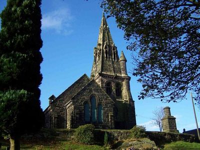
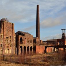
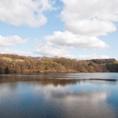
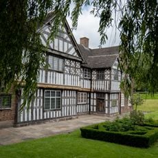
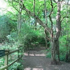
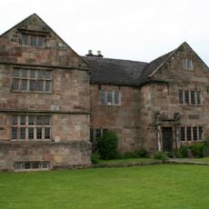
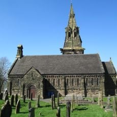
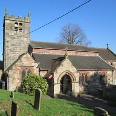
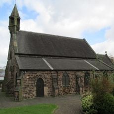
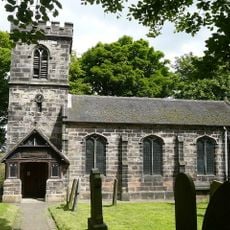
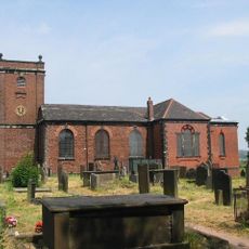
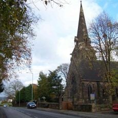
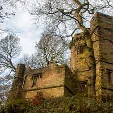
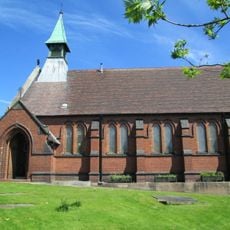
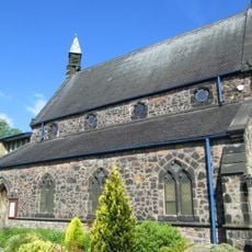
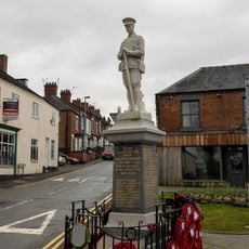
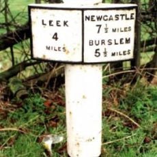
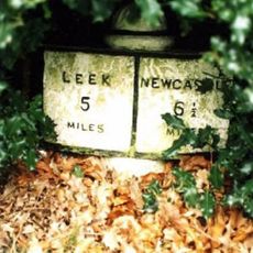
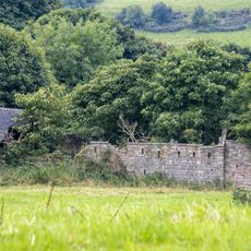
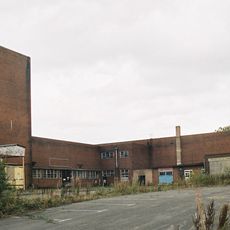
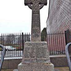
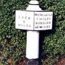
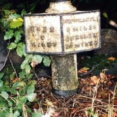
Brown Edge, village in Staffordshire, England, UK
Posizione: Staffordshire Moorlands
Coordinate GPS: 53.08253,-2.14872
Ultimo aggiornamento: 11 aprile 2025 alle 22:01
Chatterley Whitfield Colliery
1.9 km
Knypersley Reservoir
1.4 km
Ford Green Hall
3.4 km
Bagnall Road Wood
4 km
The Ashes
3.1 km
Church of St Anne
394 m
Church of St Luke, Endon
2.7 km
Church of St Saviour, Smallthorne
3.9 km
Church of St Chad
4 km
Church of St Bartholomew
2.6 km
Church of St John the Evangelist
3.6 km
Prospect Tower And Attached Wing
1.5 km
St James the Apostle
3.9 km
Biddulph Library
4.1 km
St. Philip and St. James
3.6 km
Biddulph War Memorial
4.3 km
Milepost At Sj 933 541
3.2 km
Milepost Outside 'Kings Croft', West Of Endon Village
2.1 km
Knypersley School Knypersley School, Attached Archway And Frontage Wall
3.6 km
Biddulph Primary Care Centre
4.1 km
Crowborough Farmhouse
3 km
Chatterley Whitfield: Pithead Baths Complex (18-21)
1.9 km
Brindley Ford War Memorial
2.3 km
Red Cross, Approximately 2 Metres West Of Church Of St John
3.6 km
Milepost At Sj 923 528
2.5 km
Biddulph Town Hall
4.2 km
Milepost, between Norton Green & Norton-in-the-Moors, W of Endon village
2 km
Milepost, Stockton Brook
2.5 kmRecensioni
Ha visitato questo luogo? Tocchi le stelle per valutarlo e condividere la Sua esperienza o foto con la community! Provalo ora! Puoi annullarlo in qualsiasi momento.
Scopri tesori nascosti ad ogni viaggio!
Da piccoli caffè caratteristici a panorami nascosti, fuggi dalla folla e scova i posti che fanno davvero per te. La nostra app ti semplifica tutto: ricerca vocale, filtri furbi, percorsi ottimizzati e dritte autentiche da viaggiatori di tutto il mondo. Scaricala subito per vivere l'avventura sul tuo smartphone!
Un nuovo approccio alla scoperta turistica❞
— Le Figaro
Tutti i luoghi che meritano di essere esplorati❞
— France Info
Un’escursione su misura in pochi clic❞
— 20 Minutes